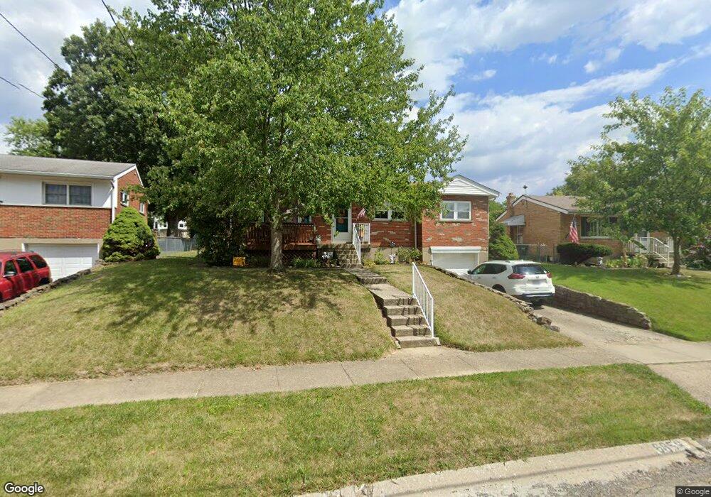
6858 Edmar Ct Cincinnati, OH 45239
Estimated Value: $177,000 - $229,000
3
Beds
2
Baths
1,024
Sq Ft
$192/Sq Ft
Est. Value
About This Home
This home is located at 6858 Edmar Ct, Cincinnati, OH 45239 and is currently estimated at $196,781, approximately $192 per square foot. 6858 Edmar Ct is a home located in Hamilton County with nearby schools including North College Hill Elementary School, North College Hill Middle School, and North College Hill High School.
Ownership History
Date
Name
Owned For
Owner Type
Purchase Details
Closed on
Oct 8, 1996
Sold by
Kirby Nelson S
Bought by
Kirby Connie R
Current Estimated Value
Home Financials for this Owner
Home Financials are based on the most recent Mortgage that was taken out on this home.
Original Mortgage
$17,050
Interest Rate
7.66%
Create a Home Valuation Report for This Property
The Home Valuation Report is an in-depth analysis detailing your home's value as well as a comparison with similar homes in the area
Home Values in the Area
Average Home Value in this Area
Purchase History
| Date | Buyer | Sale Price | Title Company |
|---|---|---|---|
| Kirby Connie R | -- | -- |
Source: Public Records
Mortgage History
| Date | Status | Borrower | Loan Amount |
|---|---|---|---|
| Previous Owner | Kirby Connie R | $17,050 |
Source: Public Records
Tax History
| Year | Tax Paid | Tax Assessment Tax Assessment Total Assessment is a certain percentage of the fair market value that is determined by local assessors to be the total taxable value of land and additions on the property. | Land | Improvement |
|---|---|---|---|---|
| 2025 | $2,098 | $47,492 | $9,366 | $38,126 |
| 2024 | $2,045 | $47,492 | $9,366 | $38,126 |
| 2023 | $1,979 | $47,492 | $9,366 | $38,126 |
| 2022 | $1,680 | $32,438 | $7,896 | $24,542 |
| 2021 | $1,625 | $32,438 | $7,896 | $24,542 |
| 2020 | $1,665 | $32,438 | $7,896 | $24,542 |
| 2019 | $1,390 | $27,489 | $6,692 | $20,797 |
| 2018 | $1,392 | $27,489 | $6,692 | $20,797 |
| 2017 | $1,305 | $27,489 | $6,692 | $20,797 |
| 2016 | $1,203 | $26,061 | $6,594 | $19,467 |
| 2015 | $1,221 | $26,061 | $6,594 | $19,467 |
| 2014 | $1,221 | $26,061 | $6,594 | $19,467 |
| 2013 | $1,440 | $29,957 | $7,581 | $22,376 |
Source: Public Records
Map
Nearby Homes
- 2268 Deblin Dr
- 2342 Banning Rd
- 2424 Banning Rd
- 2391 Deblin Dr
- 2125 Mckinley Ave
- 2405 Amelia Ct
- 2031 Emerson Ave
- 2427 Crosley Meadow
- 2048 4th Ave
- 1936 Cordova Ave
- 2027 Sundale Ave
- 1938 Waltham Ave
- 2503 Flanigan Ct
- 6254 Betts Ave
- 2032 Dallas Ave
- 2037 Carpenter Dr
- 6751 Rutherford Ct
- 1963 W North Bend Rd
- 1815 Catalpa Ave
- 2235 W North Bend Rd
Your Personal Tour Guide
Ask me questions while you tour the home.