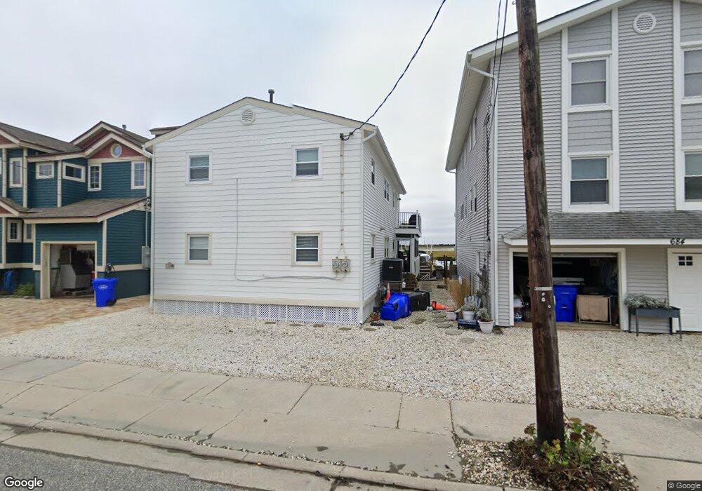
686 22nd St Unit A Avalon, NJ 08202
Estimated Value: $1,071,112 - $1,816,000
Studio
--
Bath
1,008
Sq Ft
$1,343/Sq Ft
Est. Value
About This Home
This home is located at 686 22nd St Unit A, Avalon, NJ 08202 and is currently estimated at $1,353,528, approximately $1,342 per square foot. 686 22nd St Unit A is a home located in Cape May County with nearby schools including Avalon Elementary School.
Ownership History
Date
Name
Owned For
Owner Type
Purchase Details
Closed on
Sep 30, 2025
Sold by
Law James H and Law James H
Bought by
Razzmatazz Llc
Current Estimated Value
Home Financials for this Owner
Home Financials are based on the most recent Mortgage that was taken out on this home.
Original Mortgage
$850,000
Outstanding Balance
$850,000
Interest Rate
6.58%
Mortgage Type
Credit Line Revolving
Estimated Equity
$503,528
Purchase Details
Closed on
Oct 2, 2017
Sold by
Jon Rambo
Bought by
Judge Robert and Judge Michelle
Home Financials for this Owner
Home Financials are based on the most recent Mortgage that was taken out on this home.
Original Mortgage
$165,000
Interest Rate
3.83%
Purchase Details
Closed on
Apr 10, 2014
Sold by
Law James H
Bought by
Law James H and Law James H
Purchase Details
Closed on
Jan 31, 2000
Create a Home Valuation Report for This Property
The Home Valuation Report is an in-depth analysis detailing your home's value as well as a comparison with similar homes in the area
Home Values in the Area
Average Home Value in this Area
Purchase History
| Date | Buyer | Sale Price | Title Company |
|---|---|---|---|
| Razzmatazz Llc | -- | Foundation Title | |
| Judge Robert | $1 | -- | |
| Law James H | -- | None Available | |
| -- | $205,000 | -- |
Source: Public Records
Mortgage History
| Date | Status | Borrower | Loan Amount |
|---|---|---|---|
| Open | Razzmatazz Llc | $850,000 | |
| Previous Owner | Judge Robert | $165,000 | |
| Previous Owner | Judge Robert | -- |
Source: Public Records
Tax History
| Year | Tax Paid | Tax Assessment Tax Assessment Total Assessment is a certain percentage of the fair market value that is determined by local assessors to be the total taxable value of land and additions on the property. | Land | Improvement |
|---|---|---|---|---|
| 2025 | $5,987 | $975,100 | $925,000 | $50,100 |
| 2024 | $5,987 | $975,100 | $925,000 | $50,100 |
| 2023 | $5,938 | $975,100 | $925,000 | $50,100 |
| 2022 | $5,539 | $975,100 | $925,000 | $50,100 |
| 2021 | $4,973 | $975,100 | $925,000 | $50,100 |
| 2020 | $5,129 | $975,100 | $925,000 | $50,100 |
| 2019 | $4,973 | $975,100 | $925,000 | $50,100 |
| 2018 | $4,758 | $975,100 | $925,000 | $50,100 |
| 2017 | $4,190 | $753,600 | $675,000 | $78,600 |
| 2016 | $4,145 | $753,600 | $675,000 | $78,600 |
| 2015 | $4,077 | $753,600 | $675,000 | $78,600 |
| 2014 | $4,032 | $753,600 | $675,000 | $78,600 |
Source: Public Records
Map
Nearby Homes
- 447 24th St
- 415 20th St
- 890 21st St
- 389 22nd St
- 386 24th St
- 386 24th St Unit Upper
- 2425 Harbor Ave Unit 2425
- 1668 Ocean Dr Unit B1
- 16 4th Ave
- 211 23rd St
- 212 25th St Unit End Unit
- 2934 Ocean Dr Unit North
- 178 19th St
- 2023 Dune Dr Unit R6
- 285 14th St Unit 285
- 285 14th St
- 174 23rd St
- 161 24th St
- 118 22nd St
- 179 27th St
- 686 22nd St Unit B
- 680 22nd St
- 690 22nd St Unit B
- 690 22nd St
- 690 22nd St Unit 2nd Floor
- 672 22nd St
- 694 22nd St
- 694 22nd St Unit East
- 664 22nd St
- 667 22nd St
- 695 22nd St
- 656 22nd St
- 696 22nd St
- 696 22nd St Unit East
- 659 22nd St
- 692 22nd St Unit West
- 694 21st St Unit n/a
- 694 21st St Unit North
- 676 21st St
- 696 21st St
Your Personal Tour Guide
Ask me questions while you tour the home.