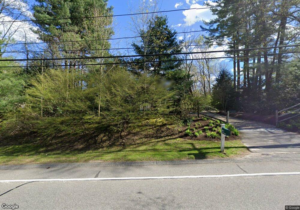
686 Boston Post Rd Weston, MA 02493
Estimated Value: $1,781,205 - $2,491,000
4
Beds
3
Baths
2,354
Sq Ft
$885/Sq Ft
Est. Value
About This Home
This home is located at 686 Boston Post Rd, Weston, MA 02493 and is currently estimated at $2,083,051, approximately $884 per square foot. 686 Boston Post Rd is a home located in Middlesex County with nearby schools including Country Elementary School, Woodland Elementary School, and Field Elementary School.
Ownership History
Date
Name
Owned For
Owner Type
Purchase Details
Closed on
Aug 24, 2011
Sold by
Fox Pamela W
Bought by
Fox Rt and Fox Pamela W
Current Estimated Value
Purchase Details
Closed on
Sep 30, 2005
Sold by
Levine Carol R and Gaschler Francis E
Bought by
Fox Pamela W
Purchase Details
Closed on
Oct 25, 1996
Sold by
Decaneas John D
Bought by
Levine Carol R and Gaschler Francis E
Create a Home Valuation Report for This Property
The Home Valuation Report is an in-depth analysis detailing your home's value as well as a comparison with similar homes in the area
Home Values in the Area
Average Home Value in this Area
Purchase History
| Date | Buyer | Sale Price | Title Company |
|---|---|---|---|
| Fox Rt | -- | -- | |
| Fox Pamela W | $1,238,000 | -- | |
| Levine Carol R | $295,000 | -- |
Source: Public Records
Mortgage History
| Date | Status | Borrower | Loan Amount |
|---|---|---|---|
| Previous Owner | Levine Carol R | $416,500 | |
| Previous Owner | Levine Carol R | $70,000 | |
| Previous Owner | Levine Carol R | $225,000 |
Source: Public Records
Tax History
| Year | Tax Paid | Tax Assessment Tax Assessment Total Assessment is a certain percentage of the fair market value that is determined by local assessors to be the total taxable value of land and additions on the property. | Land | Improvement |
|---|---|---|---|---|
| 2025 | $17,964 | $1,618,400 | $832,000 | $786,400 |
| 2024 | $17,602 | $1,582,900 | $832,000 | $750,900 |
| 2023 | $17,555 | $1,482,700 | $832,000 | $650,700 |
| 2022 | $17,232 | $1,345,200 | $783,200 | $562,000 |
| 2021 | $6,018 | $1,281,000 | $745,700 | $535,300 |
| 2020 | $16,031 | $1,249,500 | $745,700 | $503,800 |
| 2019 | $15,105 | $1,199,800 | $701,300 | $498,500 |
| 2018 | $7,837 | $1,199,800 | $701,300 | $498,500 |
| 2017 | $5,299 | $1,199,800 | $701,300 | $498,500 |
| 2016 | $14,590 | $1,199,800 | $701,300 | $498,500 |
| 2015 | $14,145 | $1,151,900 | $667,800 | $484,100 |
Source: Public Records
Map
Nearby Homes
- 30 Warren Ave
- 1 Pine Summit Cir
- 741 Boston Post Rd
- 21 Jericho Rd Unit 21
- 16 Livermore Ln
- 16 Livermore Ln Unit 16
- 15 Claridge Dr
- 133 Wellesley St
- 131 Wellesley St
- 135 Wellesley St
- 823 Boston Post Rd
- 180 Highland St
- 180 Ash St
- 9 Sanderson Ln
- 226 Ash St
- 21 Westerly Rd
- 302 Concord Rd
- 48 Sunset Rd
- 10 Audubon Rd
- 253 Highland St
- 682 Boston Post Rd
- 688 Boston Post Rd
- 680 Boston Post Rd
- 678 Boston Post Rd
- 692 Boston Post Rd
- 9 Golden Ball Rd
- 683 Boston Post Rd
- 676 Boston Post Rd
- 681 Boston Post Rd
- 687 Boston Post Rd
- 7 Golden Ball Rd
- 694 Boston Post Rd
- 689 Boston Post Rd
- 693 Boston Post Rd
- 696 Boston Post Rd
- 670 Boston Post Rd
- 8 Golden Ball Rd
- 669 Boston Post Rd
- 695 Boston Post Rd
- 700 Boston Post Rd
Your Personal Tour Guide
Ask me questions while you tour the home.