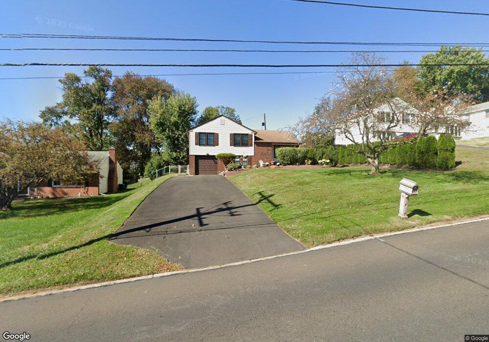
686 Davisville Rd Warminster, PA 18974
Estimated Value: $395,000 - $439,000
3
Beds
2
Baths
1,116
Sq Ft
$375/Sq Ft
Est. Value
About This Home
This home is located at 686 Davisville Rd, Warminster, PA 18974 and is currently estimated at $418,655, approximately $375 per square foot. 686 Davisville Rd is a home located in Bucks County with nearby schools including Davis Elementary School, Klinger Middle School, and William Tennent High School.
Ownership History
Date
Name
Owned For
Owner Type
Purchase Details
Closed on
Nov 30, 1998
Sold by
Riland David J and Riland Brenda M
Bought by
Lorenzi Anthony H and Lorenzi Antonia
Current Estimated Value
Home Financials for this Owner
Home Financials are based on the most recent Mortgage that was taken out on this home.
Original Mortgage
$102,000
Outstanding Balance
$23,209
Interest Rate
6.8%
Estimated Equity
$395,446
Purchase Details
Closed on
Jul 24, 1990
Bought by
Riland David J and Riland Brenda M
Create a Home Valuation Report for This Property
The Home Valuation Report is an in-depth analysis detailing your home's value as well as a comparison with similar homes in the area
Home Values in the Area
Average Home Value in this Area
Purchase History
| Date | Buyer | Sale Price | Title Company |
|---|---|---|---|
| Lorenzi Anthony H | $156,000 | -- | |
| Riland David J | $125,000 | -- |
Source: Public Records
Mortgage History
| Date | Status | Borrower | Loan Amount |
|---|---|---|---|
| Open | Lorenzi Anthony H | $102,000 |
Source: Public Records
Tax History Compared to Growth
Tax History
| Year | Tax Paid | Tax Assessment Tax Assessment Total Assessment is a certain percentage of the fair market value that is determined by local assessors to be the total taxable value of land and additions on the property. | Land | Improvement |
|---|---|---|---|---|
| 2025 | $4,559 | $21,600 | $4,480 | $17,120 |
| 2024 | $4,559 | $21,600 | $4,480 | $17,120 |
| 2023 | $4,419 | $21,600 | $4,480 | $17,120 |
| 2022 | $4,324 | $21,600 | $4,480 | $17,120 |
| 2021 | $4,223 | $21,600 | $4,480 | $17,120 |
| 2020 | $4,164 | $21,600 | $4,480 | $17,120 |
| 2019 | $3,943 | $21,600 | $4,480 | $17,120 |
| 2018 | $3,849 | $21,600 | $4,480 | $17,120 |
| 2017 | $3,736 | $21,600 | $4,480 | $17,120 |
| 2016 | $3,736 | $21,600 | $4,480 | $17,120 |
| 2015 | $3,694 | $21,600 | $4,480 | $17,120 |
| 2014 | $3,694 | $21,600 | $4,480 | $17,120 |
Source: Public Records
Map
Nearby Homes
- 766 Meadow Dr
- 117 Maple Ave
- 665 Whirlaway Dr
- 564 Byron Rd
- 325 Toll Dr
- 3108 Centennial Station Unit 310
- 4108 Centennial Station Unit 410
- 215 Surrey Rd
- 1000 Centennial Station Unit 1000
- 185 Toll Dr
- 11304 Centennial Station Unit 11304
- 206 E Hampton Crossing
- 8109 Centennial Station Unit 8109
- 484 Rowan St
- 615 Belmont Ave
- 464 Rowan St
- 19 Belmont Station
- 415 New Rd
- 1244 Hiview Dr
- 52 Belmont Station
- 790 Meadow Dr
- 798 Meadow Dr
- 702 Davisville Rd
- 672 Davisville Rd
- 804 Meadow Dr
- 784 Meadow Dr
- 708 Davisville Rd
- 805 Davisville Rd
- 664 Davisville Rd
- 825 Davisville Rd
- 812 Meadow Dr
- 716 Davisville Rd
- 778 Meadow Dr
- 835 Davisville Rd
- 820 Meadow Dr
- 777 Meadow Dr
- 799 Meadow Dr
- 805 Meadow Dr
- 724 Davisville Rd
- 772 Meadow Dr