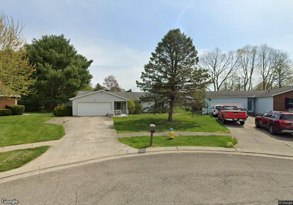
686 Earlinglow Ct Newark, OH 43055
Estimated Value: $280,986 - $302,000
3
Beds
2
Baths
1,472
Sq Ft
$199/Sq Ft
Est. Value
About This Home
This home is located at 686 Earlinglow Ct, Newark, OH 43055 and is currently estimated at $292,747, approximately $198 per square foot. 686 Earlinglow Ct is a home located in Licking County with nearby schools including Legend Elementary School, Liberty Middle School, and Newark High School.
Ownership History
Date
Name
Owned For
Owner Type
Purchase Details
Closed on
Jun 6, 2014
Sold by
Davis Robert L
Bought by
Paublos Robert R
Current Estimated Value
Purchase Details
Closed on
Jan 18, 2012
Sold by
Mattson Michelle M
Bought by
Elliott Carlos E and Elliott Beverly M
Home Financials for this Owner
Home Financials are based on the most recent Mortgage that was taken out on this home.
Original Mortgage
$104,900
Interest Rate
3.98%
Mortgage Type
VA
Purchase Details
Closed on
Aug 9, 2011
Sold by
Mattson Stephanie M
Bought by
Mattson Paul D and Mattson Michelle M
Create a Home Valuation Report for This Property
The Home Valuation Report is an in-depth analysis detailing your home's value as well as a comparison with similar homes in the area
Home Values in the Area
Average Home Value in this Area
Purchase History
| Date | Buyer | Sale Price | Title Company |
|---|---|---|---|
| Paublos Robert R | $28,500 | Bxpark Title | |
| Elliott Carlos E | $104,900 | Prosperity | |
| Mattson Paul D | -- | Ambassador |
Source: Public Records
Mortgage History
| Date | Status | Borrower | Loan Amount |
|---|---|---|---|
| Previous Owner | Elliott Carlos E | $104,900 |
Source: Public Records
Tax History
| Year | Tax Paid | Tax Assessment Tax Assessment Total Assessment is a certain percentage of the fair market value that is determined by local assessors to be the total taxable value of land and additions on the property. | Land | Improvement |
|---|---|---|---|---|
| 2024 | $2,140 | $69,650 | $26,250 | $43,400 |
| 2023 | $2,159 | $69,650 | $26,250 | $43,400 |
| 2022 | $2,027 | $59,290 | $21,560 | $37,730 |
| 2021 | $2,126 | $59,290 | $21,560 | $37,730 |
| 2020 | $2,183 | $59,290 | $21,560 | $37,730 |
| 2019 | $1,677 | $46,280 | $13,480 | $32,800 |
| 2018 | $1,678 | $0 | $0 | $0 |
| 2017 | $1,504 | $0 | $0 | $0 |
| 2016 | $1,372 | $0 | $0 | $0 |
| 2015 | $1,401 | $0 | $0 | $0 |
| 2014 | $2,314 | $0 | $0 | $0 |
| 2013 | $1,328 | $0 | $0 | $0 |
Source: Public Records
Map
Nearby Homes
- 584 Moull St Unit A
- 508 Moull St
- 730 Maxola Ave
- 1001 Kingsbury Ct Unit 1001
- 188 Meadow Dr
- 184 Meadow Dr
- 476 W Shields St
- 565 Granville St
- 979 Granville Rd
- 574 Blakeley Place Unit 574
- 731 Grafton Rd
- 408 Granville St
- 361 Granville St
- 189 N Quentin Rd
- 222 Bachmann Ave
- 1108 W Church St
- 1000 Lawnview Ave
- 655 Evans St
- 355 Eddy St
- 695 Tall Oaks Dr
Your Personal Tour Guide
Ask me questions while you tour the home.