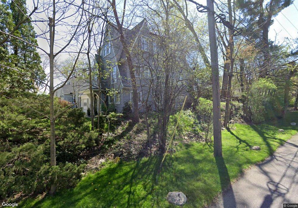
686 Ecton Rd Akron, OH 44303
Merriman Hills NeighborhoodEstimated Value: $238,000 - $271,000
4
Beds
2
Baths
1,897
Sq Ft
$132/Sq Ft
Est. Value
About This Home
This home is located at 686 Ecton Rd, Akron, OH 44303 and is currently estimated at $250,770, approximately $132 per square foot. 686 Ecton Rd is a home located in Summit County with nearby schools including King Community Learning Center, Towpath Trail High School, and Our Lady Of The Elms Elementary School.
Ownership History
Date
Name
Owned For
Owner Type
Purchase Details
Closed on
Jan 27, 2012
Sold by
Bayless Brent B and Bayless Kirk
Bought by
Hillegas Jeffrey E
Current Estimated Value
Home Financials for this Owner
Home Financials are based on the most recent Mortgage that was taken out on this home.
Original Mortgage
$31,200
Outstanding Balance
$21,385
Interest Rate
3.9%
Mortgage Type
New Conventional
Estimated Equity
$229,385
Purchase Details
Closed on
Jul 6, 2011
Sold by
Estate Of Elson Henry Bayless
Bought by
Bayless Brent B and Bayless Kirk
Create a Home Valuation Report for This Property
The Home Valuation Report is an in-depth analysis detailing your home's value as well as a comparison with similar homes in the area
Home Values in the Area
Average Home Value in this Area
Purchase History
| Date | Buyer | Sale Price | Title Company |
|---|---|---|---|
| Hillegas Jeffrey E | $39,000 | Attorney | |
| Bayless Brent B | -- | None Available |
Source: Public Records
Mortgage History
| Date | Status | Borrower | Loan Amount |
|---|---|---|---|
| Open | Hillegas Jeffrey E | $31,200 |
Source: Public Records
Tax History
| Year | Tax Paid | Tax Assessment Tax Assessment Total Assessment is a certain percentage of the fair market value that is determined by local assessors to be the total taxable value of land and additions on the property. | Land | Improvement |
|---|---|---|---|---|
| 2024 | $4,113 | $73,973 | $15,141 | $58,832 |
| 2023 | $4,113 | $73,973 | $15,141 | $58,832 |
| 2022 | $3,976 | $56,042 | $11,473 | $44,569 |
| 2021 | $3,980 | $56,042 | $11,473 | $44,569 |
| 2020 | $3,970 | $56,040 | $11,470 | $44,570 |
| 2019 | $3,582 | $45,410 | $10,900 | $34,510 |
| 2018 | $3,451 | $45,410 | $10,900 | $34,510 |
| 2017 | $2,596 | $45,410 | $10,900 | $34,510 |
| 2016 | $2,644 | $33,240 | $10,900 | $22,340 |
| 2015 | $2,596 | $33,250 | $10,900 | $22,350 |
| 2014 | $3,798 | $50,690 | $10,900 | $39,790 |
| 2013 | $3,122 | $41,930 | $10,900 | $31,030 |
Source: Public Records
Map
Nearby Homes
- 674 Upper Merriman Dr
- 505 Ridgecrest Rd
- 430 Delaware Ave
- 456 Merriman Rd
- 754 Merriman Rd
- 557 Letchworth Dr
- 467 Aqueduct St
- 255 N Portage Path Unit 409
- 255 N Portage Path Unit 507
- 275 N Portage Path Unit 7B
- 275 N Portage Path Unit 7g
- 333 N Portage Path Unit 6
- 333 N Portage Path Unit 34
- 333 N Portage Path Unit 25
- 427 Kathleen St
- 481 Letchworth Dr
- 383 Aqueduct St
- 836 Carnation Ct
- 732 Buckeye Dr
- 74 Maplewood Ave
- 678 Ecton Rd
- 674 Ecton Rd
- 668 Ecton Rd
- 700 Ecton Rd
- 677 Upper Merriman Dr
- 677 Ecton Rd
- 669 Upper Merriman Dr
- 460 Royal Ave
- 664 Ecton Rd
- 706 Ecton Rd
- 673 Ecton Rd
- 665 Upper Merriman Dr
- 667 Ecton Rd
- 701 Ecton Rd
- 658 Ecton Rd
- 701 Upper Merriman Dr
- 712 Ecton Rd
- 663 Ecton Rd
- 705 Ecton Rd
- 657 Upper Merriman Dr
Your Personal Tour Guide
Ask me questions while you tour the home.