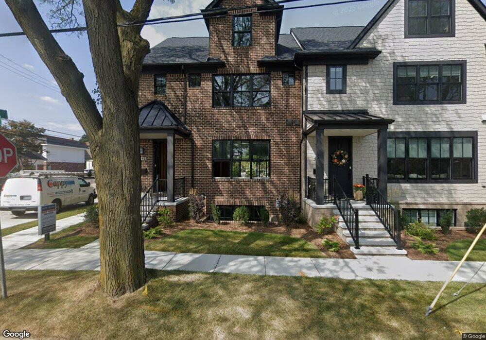
686 Maple St Unit Bldg-Unit Plymouth, MI 48170
Estimated Value: $579,657
3
Beds
1
Bath
1,520
Sq Ft
$381/Sq Ft
Est. Value
About This Home
This home is located at 686 Maple St Unit Bldg-Unit, Plymouth, MI 48170 and is currently priced at $579,657, approximately $381 per square foot. 686 Maple St Unit Bldg-Unit is a home located in Wayne County with nearby schools including Canton High School, Smith Elementary School, and East Middle School.
Ownership History
Date
Name
Owned For
Owner Type
Purchase Details
Closed on
Jan 28, 2022
Sold by
686 Maple Llc
Bought by
Jewell Maple Development Llc and Saxtons Town Lofts Llc
Current Estimated Value
Purchase Details
Closed on
Aug 5, 2020
Sold by
686 Maple Llc
Bought by
City Of Plymouth
Purchase Details
Closed on
Apr 29, 2014
Sold by
Saxton Investment Company Llc
Bought by
Shaw Ryan
Purchase Details
Closed on
Nov 1, 2002
Sold by
Barbour Betty J
Bought by
Saxton Investment Co Llc
Create a Home Valuation Report for This Property
The Home Valuation Report is an in-depth analysis detailing your home's value as well as a comparison with similar homes in the area
Home Values in the Area
Average Home Value in this Area
Purchase History
| Date | Buyer | Sale Price | Title Company |
|---|---|---|---|
| Jewell Maple Development Llc | -- | None Listed On Document | |
| City Of Plymouth | -- | None Listed On Document | |
| Shaw Ryan | $300,715 | Embassy Title Agency Inc | |
| Saxton Investment Co Llc | $265,000 | -- |
Source: Public Records
Tax History Compared to Growth
Tax History
| Year | Tax Paid | Tax Assessment Tax Assessment Total Assessment is a certain percentage of the fair market value that is determined by local assessors to be the total taxable value of land and additions on the property. | Land | Improvement |
|---|---|---|---|---|
| 2023 | $1,332 | $0 | $0 | $0 |
| 2022 | $1,429 | $35,200 | $0 | $0 |
| 2021 | $1,384 | $35,200 | $0 | $0 |
| 2020 | $9,267 | $201,400 | $0 | $0 |
| 2019 | $8,435 | $169,200 | $0 | $0 |
| 2018 | $5,588 | $146,600 | $0 | $0 |
| 2017 | $1,184 | $141,100 | $0 | $0 |
| 2016 | $5,445 | $137,000 | $0 | $0 |
| 2015 | $12,472 | $124,720 | $0 | $0 |
| 2013 | $14,785 | $156,300 | $0 | $0 |
| 2011 | -- | $140,590 | $0 | $0 |
Source: Public Records
Map
Nearby Homes
- 668 Maple St
- 660 Maple St
- 636 Maple St
- 644 Maple St
- 801 W Ann Arbor Trail Unit 306
- 628 Maple St
- 543 Deer St
- 525 W Ann Arbor Trail
- 42384 Gateway Dr
- 300 Hamilton St Unit 201
- 300 Hamilton St Unit 306
- 381 Hamilton St
- 190 Hamilton St
- 638 S Harvey St
- 163 Hamilton St
- 775 Deer Ct Unit 104
- 278 Maple St
- 256 Maple St
- 188 N Harvey St
- 1046 Church St
- 686 Maple St
- 674 Maple St
- 684 Maple St
- 676 Maple St
- 484 Deer St
- 711 W Ann Arbor Trail
- 711 W Ann Arbor Trail
- 471 S Main St
- 587 W Ann Arbor Trail
- 729 W Ann Arbor Trail
- 729 W Ann Arbor Trail
- 729 W Ann Arbor Trail
- 729 W Ann Arbor Trail
- 729 W Ann Arbor Trail
- 729 W Ann Arbor Trail Unit 200
- 693 Maple St
- 586 Deer St
- 585 W Ann Arbor Trail
- 624 Maple St
- 583 W Ann Arbor Trail