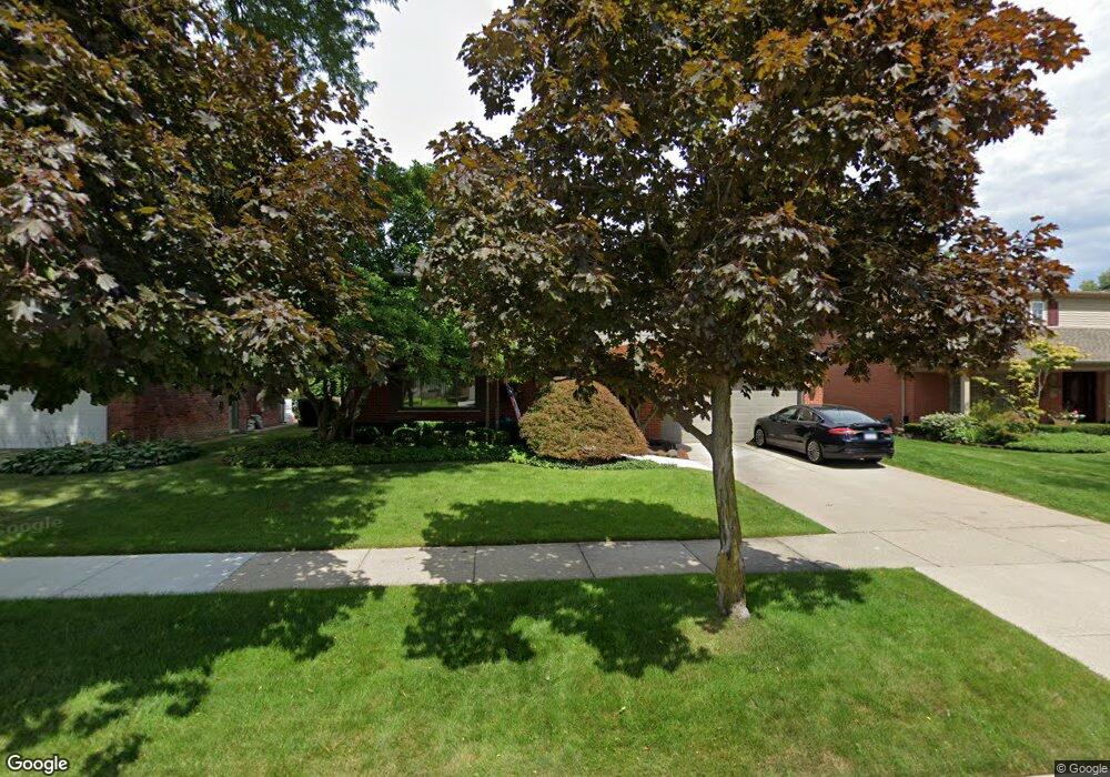
686 N Brys Dr Grosse Pointe Woods, MI 48236
Estimated Value: $530,498 - $625,000
3
Beds
3
Baths
2,679
Sq Ft
$218/Sq Ft
Est. Value
About This Home
This home is located at 686 N Brys Dr, Grosse Pointe Woods, MI 48236 and is currently estimated at $583,375, approximately $217 per square foot. 686 N Brys Dr is a home located in Wayne County with nearby schools including Ferry Elementary School, Parcells Middle School, and Grosse Pointe North High School.
Ownership History
Date
Name
Owned For
Owner Type
Purchase Details
Closed on
Jan 26, 2018
Sold by
Francis Snella Judith Ellen and Francis Sneila Edward
Bought by
Geraghty Brooke E
Current Estimated Value
Home Financials for this Owner
Home Financials are based on the most recent Mortgage that was taken out on this home.
Original Mortgage
$248,000
Outstanding Balance
$210,034
Interest Rate
3.99%
Mortgage Type
New Conventional
Estimated Equity
$373,341
Create a Home Valuation Report for This Property
The Home Valuation Report is an in-depth analysis detailing your home's value as well as a comparison with similar homes in the area
Home Values in the Area
Average Home Value in this Area
Purchase History
| Date | Buyer | Sale Price | Title Company |
|---|---|---|---|
| Geraghty Brooke E | $310,000 | Ata National Title Group Llc |
Source: Public Records
Mortgage History
| Date | Status | Borrower | Loan Amount |
|---|---|---|---|
| Open | Geraghty Brooke E | $248,000 |
Source: Public Records
Tax History Compared to Growth
Tax History
| Year | Tax Paid | Tax Assessment Tax Assessment Total Assessment is a certain percentage of the fair market value that is determined by local assessors to be the total taxable value of land and additions on the property. | Land | Improvement |
|---|---|---|---|---|
| 2025 | $5,080 | $250,400 | $0 | $0 |
| 2024 | $5,080 | $238,800 | $0 | $0 |
| 2023 | $4,886 | $223,900 | $0 | $0 |
| 2022 | $7,652 | $206,300 | $0 | $0 |
| 2021 | $7,294 | $198,700 | $0 | $0 |
| 2020 | $7,511 | $192,900 | $0 | $0 |
| 2019 | $7,089 | $179,700 | $0 | $0 |
| 2018 | $4,215 | $165,700 | $0 | $0 |
| 2017 | $4,897 | $156,800 | $0 | $0 |
| 2016 | $6,677 | $143,500 | $0 | $0 |
| 2015 | $11,572 | $137,400 | $0 | $0 |
| 2013 | $11,040 | $120,700 | $0 | $0 |
| 2012 | -- | $107,900 | $24,700 | $83,200 |
Source: Public Records
Map
Nearby Homes
- 655 Canterbury Rd
- 580 N Brys Dr
- 3 S River Ct
- 935 S Brys Dr
- 21560 van K Dr
- 55 S Edgewood Dr
- 1108 Roslyn Rd
- 24 Moorland Dr
- 23282 N Rosedale Ct
- 934 Anita Ave
- 28 Hampton Rd
- 20670 Vernier Cir
- 1291 Roslyn Rd
- 1381 Brys Dr
- 20740 Marter Rd
- 1341 Hawthorne Rd
- 23118 Westbury St
- 1327 Anita Ave
- 20727 Marter Rd
- 1374 Anita Ave
- 702 N Brys Dr
- 720 N Brys Dr
- 680 N Brys Dr
- 715 Blairmoor Ct
- 695 Blairmoor Ct
- 736 N Brys Dr
- 733 Blairmoor Ct
- 677 Blairmoor Ct
- 701 N Brys Dr
- 719 N Brys Dr
- 685 N Brys Dr
- 753 Blairmoor Ct
- 754 N Brys Dr
- 735 N Brys Dr
- 679 N Brys Dr
- 696 Blairmoor Ct
- 686 Blairmoor Ct
- 660 N Brys Dr
- 753 N Brys Dr
- 716 Blairmoor Ct