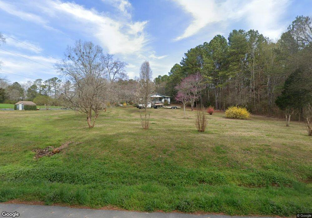
686 Shiloh Rd Cedartown, GA 30125
Estimated Value: $123,000 - $211,000
2
Beds
1
Bath
988
Sq Ft
$171/Sq Ft
Est. Value
About This Home
This home is located at 686 Shiloh Rd, Cedartown, GA 30125 and is currently estimated at $169,026, approximately $171 per square foot. 686 Shiloh Rd is a home located in Polk County.
Ownership History
Date
Name
Owned For
Owner Type
Purchase Details
Closed on
Apr 9, 2020
Sold by
Gilley Willie Beatrice
Bought by
Pollard James David
Current Estimated Value
Purchase Details
Closed on
Feb 5, 1997
Sold by
Grimes Homer and Young Belinda G
Bought by
Gilley Willy B
Purchase Details
Closed on
Aug 7, 1995
Sold by
Grimes Comer
Bought by
Grimes Homer As Executor For Comer
Purchase Details
Closed on
Mar 1, 1984
Sold by
Forrister Herrell
Bought by
Forrister Herrell
Purchase Details
Closed on
Jan 1, 1984
Sold by
Forrister Herrell
Bought by
Grimes Comer
Purchase Details
Closed on
Nov 23, 1979
Sold by
Forrister Thomas
Bought by
Forrister Herrell
Purchase Details
Closed on
Mar 8, 1969
Bought by
Forrister Thomas
Create a Home Valuation Report for This Property
The Home Valuation Report is an in-depth analysis detailing your home's value as well as a comparison with similar homes in the area
Home Values in the Area
Average Home Value in this Area
Purchase History
| Date | Buyer | Sale Price | Title Company |
|---|---|---|---|
| Pollard James David | -- | -- | |
| Pollard James David | -- | -- | |
| Gilley Willy B | $29,000 | -- | |
| Grimes Homer | -- | -- | |
| Grimes Homer As Executor For Comer | -- | -- | |
| Forrister Herrell | -- | -- | |
| Grimes Comer | -- | -- | |
| Forrister Herrell | -- | -- | |
| Forrister Thomas | -- | -- |
Source: Public Records
Tax History Compared to Growth
Tax History
| Year | Tax Paid | Tax Assessment Tax Assessment Total Assessment is a certain percentage of the fair market value that is determined by local assessors to be the total taxable value of land and additions on the property. | Land | Improvement |
|---|---|---|---|---|
| 2024 | $705 | $33,732 | $1,867 | $31,865 |
| 2023 | $526 | $22,149 | $1,867 | $20,282 |
| 2022 | $442 | $18,606 | $1,245 | $17,361 |
| 2021 | $145 | $18,606 | $1,245 | $17,361 |
| 2020 | $145 | $18,606 | $1,245 | $17,361 |
| 2019 | $108 | $13,689 | $1,245 | $12,444 |
| 2018 | $101 | $12,805 | $1,245 | $11,560 |
| 2017 | $97 | $12,805 | $1,245 | $11,560 |
| 2016 | $103 | $13,270 | $1,710 | $11,560 |
| 2015 | $99 | $12,956 | $1,710 | $11,246 |
| 2014 | $100 | $12,956 | $1,710 | $11,246 |
Source: Public Records
Map
Nearby Homes
- 0 Treat Mountain Rd Unit 7643015
- 0 Treat Mountain Rd Unit 7634123
- 0 Treat Mountain Rd Unit 10586157
- 745 Brewster Field Rd
- 74 Hulsey Rd
- TR 3 Culp Lake Rd
- TR 2 Culp Lake Rd
- 0 Brewster Field Rd Unit 10623054
- 0 Brewster Field Rd Unit 7664244
- 2776 Piedmont Hwy
- 859 Little Harmony Rd
- 2202 Treat Mountain Rd
- 0 Akes Station Rd Unit 25208781
- 0 Akes Station Rd Unit 25208783
- 0 Akes Station Rd Unit 25208784
- 0 Akes Station Rd Unit 25208785
- 0 Akes Station Rd Unit 25208782
- 0 Culp Lake Rd (Tract 3)
- 0 Culp Lake Rd (Tract 2)
- 0 Culp Lake Rd Unit 25460774