6860 Mccurdy Rd Delaware, OH 43015
Oxford NeighborhoodEstimated Value: $233,000 - $298,000
3
Beds
1
Bath
988
Sq Ft
$260/Sq Ft
Est. Value
About This Home
This home is located at 6860 Mccurdy Rd, Delaware, OH 43015 and is currently estimated at $257,249, approximately $260 per square foot. 6860 Mccurdy Rd is a home located in Delaware County with nearby schools including Buckeye Valley High School.
Ownership History
Date
Name
Owned For
Owner Type
Purchase Details
Closed on
Mar 15, 2004
Sold by
Deel Kevin A and Deel Penny E
Bought by
Eubank Lonnie
Current Estimated Value
Home Financials for this Owner
Home Financials are based on the most recent Mortgage that was taken out on this home.
Original Mortgage
$102,150
Outstanding Balance
$47,974
Interest Rate
5.74%
Mortgage Type
Purchase Money Mortgage
Estimated Equity
$209,275
Create a Home Valuation Report for This Property
The Home Valuation Report is an in-depth analysis detailing your home's value as well as a comparison with similar homes in the area
Home Values in the Area
Average Home Value in this Area
Purchase History
| Date | Buyer | Sale Price | Title Company |
|---|---|---|---|
| Eubank Lonnie | $113,500 | Multiple |
Source: Public Records
Mortgage History
| Date | Status | Borrower | Loan Amount |
|---|---|---|---|
| Open | Eubank Lonnie | $102,150 | |
| Closed | Eubank Lonnie | $11,350 |
Source: Public Records
Tax History
| Year | Tax Paid | Tax Assessment Tax Assessment Total Assessment is a certain percentage of the fair market value that is determined by local assessors to be the total taxable value of land and additions on the property. | Land | Improvement |
|---|---|---|---|---|
| 2024 | $2,106 | $57,970 | $12,290 | $45,680 |
| 2023 | $2,007 | $55,520 | $12,290 | $43,230 |
| 2022 | $1,810 | $44,210 | $11,200 | $33,010 |
| 2021 | $1,810 | $44,210 | $11,200 | $33,010 |
| 2020 | $1,820 | $44,210 | $11,200 | $33,010 |
| 2019 | $1,673 | $39,350 | $9,350 | $30,000 |
| 2018 | $1,693 | $39,350 | $9,350 | $30,000 |
| 2017 | $1,538 | $36,190 | $7,490 | $28,700 |
| 2016 | $1,441 | $36,190 | $7,490 | $28,700 |
| 2015 | $1,502 | $36,190 | $7,490 | $28,700 |
| 2014 | $1,406 | $36,190 | $7,490 | $28,700 |
| 2013 | $1,489 | $36,190 | $7,490 | $28,700 |
Source: Public Records
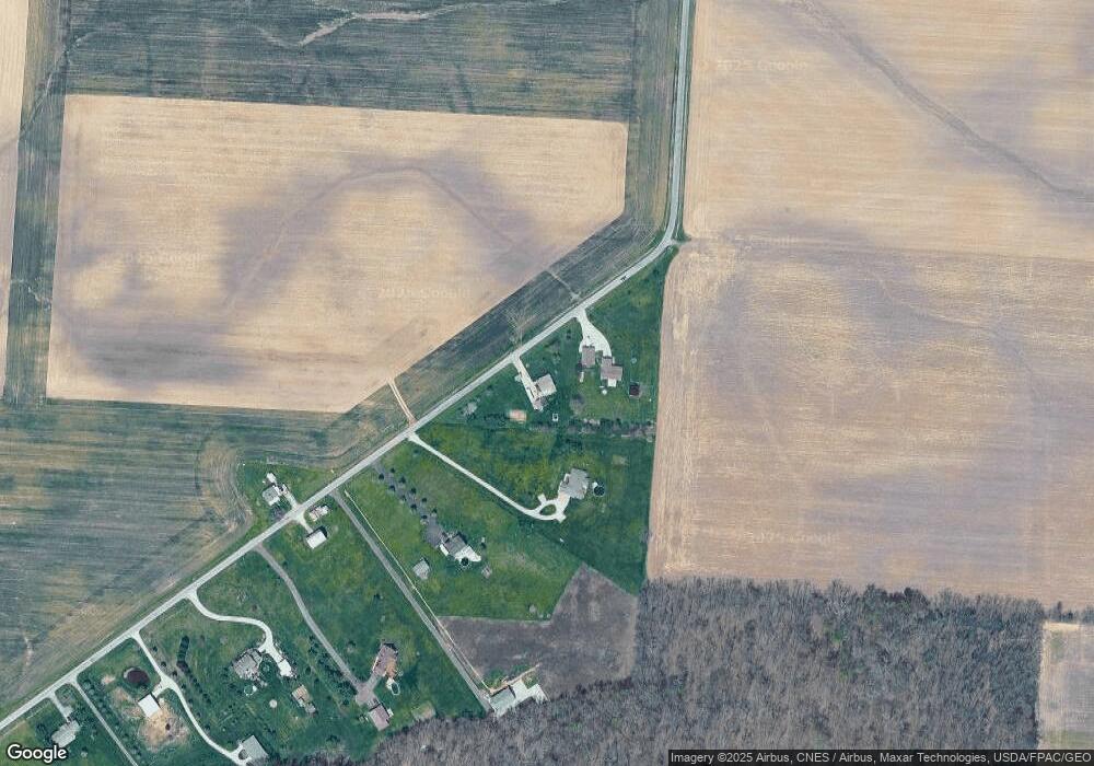
Map
Nearby Homes
- 2020 County Road 228
- 216 County Road 24
- 202 S Main St
- 210 W High St
- 4 S Central St
- 6 W Taylor St
- 215 Barton St
- 103 Parkwood Dr
- 3900 Main St
- 3900 Main St
- 2216 State Route 229
- 0 Whipple Rd Unit 225024053
- 3980 N 3 Bs and K Rd
- 678 County Road 24
- 4169 State Route 521
- 3694 Horseshoe Rd
- 585 County Road 21
- 0 Township Road 21 Unit Tract 2
- 0 Township Road 21 Unit Tract 3
- 0 Township Road 21 Unit Tract 6
- 6878 Mccurdy Rd
- 6810 Mccurdy Rd
- 6780 Mccurdy Rd
- 6743 Mccurdy Rd
- 6720 Mccurdy Rd
- 6690 Mccurdy Rd
- 6658 Mccurdy Rd
- 0 Maloney Rd
- 6636 Mccurdy Rd
- 6642 Mccurdy Rd
- 6598 Mccurdy Rd
- 6576 Mccurdy Rd
- 5335 Maloney Rd
- 6540 Mccurdy Rd
- 6488 Mccurdy Rd
- 6076 Maloney Rd
- 6121 Maloney Rd
- 7101 Ashley Rd
- 7139 Ashley Rd
- 6185 Maloney Rd
Your Personal Tour Guide
Ask me questions while you tour the home.