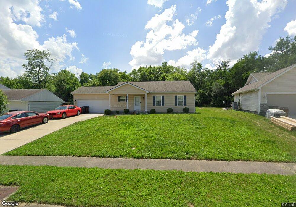
6860 Shadowbrook Dr Dayton, OH 45426
Estimated Value: $151,000 - $219,000
2
Beds
2
Baths
1,440
Sq Ft
$119/Sq Ft
Est. Value
About This Home
This home is located at 6860 Shadowbrook Dr, Dayton, OH 45426 and is currently estimated at $171,902, approximately $119 per square foot. 6860 Shadowbrook Dr is a home with nearby schools including Trotwood-Madison Middle School, Trotwood-Madison High School, and Trotwood Preparatory & Fitness Academy.
Ownership History
Date
Name
Owned For
Owner Type
Purchase Details
Closed on
Oct 13, 2016
Sold by
Habitat For Humanity
Bought by
Alvin D Lewis
Current Estimated Value
Home Financials for this Owner
Home Financials are based on the most recent Mortgage that was taken out on this home.
Interest Rate
3.47%
Purchase Details
Closed on
Mar 14, 2012
Sold by
Madison Township Trustees
Bought by
Dayton Ohio Habitat For Humanity Inc
Create a Home Valuation Report for This Property
The Home Valuation Report is an in-depth analysis detailing your home's value as well as a comparison with similar homes in the area
Home Values in the Area
Average Home Value in this Area
Purchase History
| Date | Buyer | Sale Price | Title Company |
|---|---|---|---|
| Alvin D Lewis | $78,000 | -- | |
| Dayton Ohio Habitat For Humanity Inc | -- | First American Title Insuran |
Source: Public Records
Mortgage History
| Date | Status | Borrower | Loan Amount |
|---|---|---|---|
| Closed | Alvin D Lewis | -- |
Source: Public Records
Tax History Compared to Growth
Tax History
| Year | Tax Paid | Tax Assessment Tax Assessment Total Assessment is a certain percentage of the fair market value that is determined by local assessors to be the total taxable value of land and additions on the property. | Land | Improvement |
|---|---|---|---|---|
| 2024 | $2,982 | $41,730 | $2,190 | $39,540 |
| 2023 | $2,982 | $41,730 | $2,190 | $39,540 |
| 2022 | $2,790 | $30,020 | $1,580 | $28,440 |
| 2021 | $2,791 | $30,020 | $1,580 | $28,440 |
| 2020 | $2,718 | $30,020 | $1,580 | $28,440 |
| 2019 | $2,822 | $27,320 | $1,580 | $25,740 |
| 2018 | $2,802 | $27,320 | $1,580 | $25,740 |
| 2017 | $2,744 | $27,320 | $1,580 | $25,740 |
| 2016 | $120 | $1,260 | $1,260 | $0 |
| 2015 | $120 | $1,260 | $1,260 | $0 |
| 2014 | $118 | $3,500 | $3,500 | $0 |
| 2012 | -- | $1,440 | $1,440 | $0 |
Source: Public Records
Map
Nearby Homes
- 6899 Little Richmond Rd
- 0 Little Richmond Rd
- 7534 Little Richmond Rd
- 316 Skinner Dr
- 33 Mario Dr
- 1500 N Snyder Rd
- 17 Grand Ave
- 204 E Main St
- 4 Pleasant Ave
- 0 Main
- 209 W Main St
- 17 N Sunrise Ave
- 1 E Worley Ave
- 103 E Worley Ave
- 301 Beardsley Rd
- 208 E Sunrise Ave
- 0 Northwest Pkwy
- 208 E Eppington Dr
- 385 Blairwood Dr
- 5328 Whaley Dr
- 6910 Shadowbrook Dr
- 6850 Shadowbrook Dr
- 6920 Shadowbrook Dr
- 6840 Shadow Brook Dr
- 7 Shadow Brook Dr
- 33 Shadow Brook Dr
- 35 Shadow Brook Dr
- 36 Shadow Brook Dr
- 6784 Sandy Dr
- 6930 Shadow Brook Dr
- 6830 Shadow Brook Dr
- 6778 Sandy Dr
- 6820 Shadowbrook Dr Unit 28
- 6820 Shadowbrook Dr
- 2148 N Union Rd
- 6940 Shadow Brook Dr
- 2201 Ridge Creek Ct
- 6770 Sandy Dr
- 6810 Shadowbrook Dr
- 2092 Thimble Creek Dr