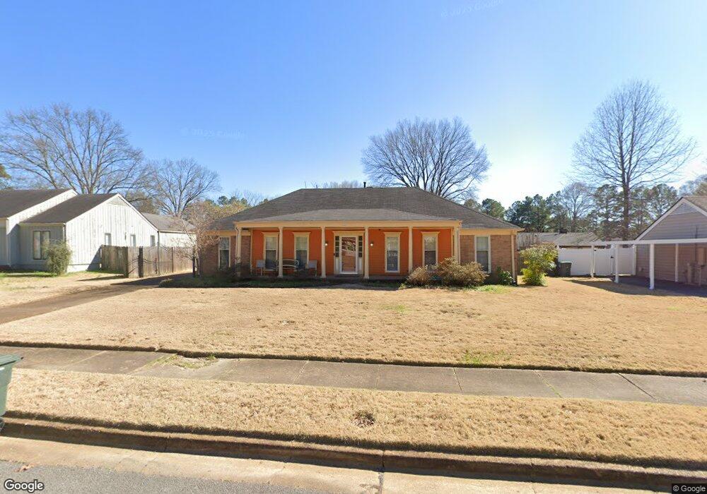
6861 Amersham Dr Memphis, TN 38119
Shady Grove NeighborhoodEstimated Value: $238,000 - $255,000
About This Home
This home is located at 6861 Amersham Dr, Memphis, TN 38119 and is currently estimated at $245,450, approximately $120 per square foot. 6861 Amersham Dr is a home located in Shelby County with nearby schools including Oak Forest Elementary, Ridgeway Middle School, and Ridgeway High School.
Ownership History
We collect this data history from publicly available records. To have your information removed, we recommend requesting removal directly through your county’s website.
Purchase Details
Purchase Details
Purchase Details
Home Financials for this Owner
Home Financials are based on the most recent Mortgage that was taken out on this home.Purchase Details
Home Financials for this Owner
Home Financials are based on the most recent Mortgage that was taken out on this home.Purchase Details
Home Values in the Area
Average Home Value in this Area
Purchase History
We collect this data history from publicly available records. To have your information removed, we recommend requesting removal directly through your county’s website.
| Date | Buyer | Sale Price | Title Company |
|---|---|---|---|
| -- | None Listed On Document | ||
| -- | None Listed On Document | ||
| $142,900 | -- | ||
| $138,000 | -- | ||
| $138,000 | -- | ||
| $101,000 | -- |
Mortgage History
We collect this data history from publicly available records. To have your information removed, we recommend requesting removal directly through your county’s website.
| Date | Status | Borrower | Loan Amount |
|---|---|---|---|
| Previous Owner | $140,692 | ||
| Previous Owner | $137,884 |
Tax History
We collect this data history from publicly available records. To have your information removed, we recommend requesting removal directly through your county’s website.
| Year | Tax Paid | Tax Assessment Tax Assessment Total Assessment is a certain percentage of the fair market value that is determined by local assessors to be the total taxable value of land and additions on the property. | Land | Improvement |
|---|---|---|---|---|
| 2025 | $1,707 | $63,475 | $8,500 | $54,975 |
| 2024 | $1,597 | $47,100 | $7,650 | $39,450 |
| 2023 | $2,869 | $47,100 | $7,650 | $39,450 |
| 2022 | $2,869 | $47,100 | $7,650 | $39,450 |
| 2021 | $2,903 | $47,100 | $7,650 | $39,450 |
| 2020 | $2,433 | $33,575 | $6,450 | $27,125 |
| 2019 | $2,433 | $33,575 | $6,450 | $27,125 |
| 2018 | $2,433 | $33,575 | $6,450 | $27,125 |
| 2017 | $1,380 | $33,575 | $6,450 | $27,125 |
| 2016 | $1,347 | $30,825 | $0 | $0 |
| 2014 | $1,347 | $30,825 | $0 | $0 |
Map
- 6751 Bainbridge Dr
- 2677 Tangbourne Dr
- 2647 Breenwood Ln
- 6710 Kirby Oaks Ln
- 7038 Baintree Cove
- 6830 Monan Cove
- 6683 Kirby Oaks Ln
- 6680 Pondview Cove
- 7027 Boxborough Cove
- 6921 Stornaway Dr
- 2976 Kin Cove Unit 17
- 6669 Pondside Cir
- 2961 Jib Cove Unit 30
- 2978 Millers Pond Dr
- 2593 Lanrick Cove
- 6837 Stornaway Dr
- 6982 Wesley Ct
- 6676 Stout Rd
- 7013 Crestridge Rd
- 6878 Norhan Cove
- 6869 Amersham Dr
- 6853 Amersham Dr
- 6860 Bainbridge Dr
- 6870 Bainbridge Dr
- 6852 Bainbridge Dr
- 6862 Amersham Dr
- 6843 Amersham Dr
- 6870 Amersham Dr
- 6854 Amersham Dr
- 6878 Bainbridge Dr
- 6842 Bainbridge Dr
- 6880 Amersham Dr
- 6844 Amersham Dr
- 6889 Amersham Dr
- 6835 Amersham Dr
- 6888 Bainbridge Dr
- 6834 Bainbridge Dr
- 6859 Bainbridge Dr
- 6869 Bainbridge Dr
- 6890 Amersham Dr
Ask me questions while you tour the home.