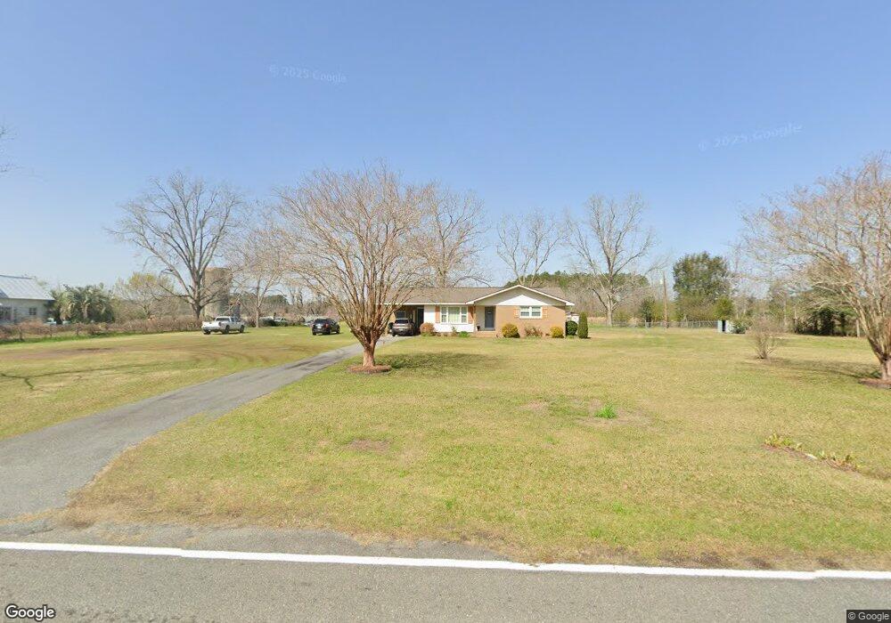
6863 Shiloh Rd Hahira, GA 31632
Estimated Value: $182,091 - $262,000
--
Bed
2
Baths
1,409
Sq Ft
$146/Sq Ft
Est. Value
About This Home
This home is located at 6863 Shiloh Rd, Hahira, GA 31632 and is currently estimated at $205,773, approximately $146 per square foot. 6863 Shiloh Rd is a home located in Lowndes County with nearby schools including Hahira Elementary School, Hahira Middle School, and Lowndes High School.
Ownership History
Date
Name
Owned For
Owner Type
Purchase Details
Closed on
Apr 14, 2022
Sold by
Schreffler Charlene
Bought by
Tyson Todd
Current Estimated Value
Home Financials for this Owner
Home Financials are based on the most recent Mortgage that was taken out on this home.
Original Mortgage
$138,000
Outstanding Balance
$129,067
Interest Rate
3.85%
Mortgage Type
Mortgage Modification
Estimated Equity
$76,706
Purchase Details
Closed on
Dec 11, 2008
Sold by
Schreffler Robert D
Bought by
Schreffler Charlene S
Purchase Details
Closed on
Jul 21, 1978
Bought by
Schreffler Robert D
Create a Home Valuation Report for This Property
The Home Valuation Report is an in-depth analysis detailing your home's value as well as a comparison with similar homes in the area
Home Values in the Area
Average Home Value in this Area
Purchase History
| Date | Buyer | Sale Price | Title Company |
|---|---|---|---|
| Tyson Todd | $124,000 | -- | |
| Schreffler Charlene S | -- | -- | |
| Schreffler Robert D | -- | -- |
Source: Public Records
Mortgage History
| Date | Status | Borrower | Loan Amount |
|---|---|---|---|
| Open | Tyson Todd | $138,000 |
Source: Public Records
Tax History Compared to Growth
Tax History
| Year | Tax Paid | Tax Assessment Tax Assessment Total Assessment is a certain percentage of the fair market value that is determined by local assessors to be the total taxable value of land and additions on the property. | Land | Improvement |
|---|---|---|---|---|
| 2024 | $989 | $39,374 | $4,326 | $35,048 |
| 2023 | $939 | $39,090 | $4,042 | $35,048 |
| 2022 | $490 | $27,562 | $4,042 | $23,520 |
| 2021 | $511 | $27,562 | $4,042 | $23,520 |
| 2020 | $474 | $27,533 | $4,013 | $23,520 |
| 2019 | $479 | $27,533 | $4,013 | $23,520 |
| 2018 | $0 | $27,533 | $4,013 | $23,520 |
| 2017 | $482 | $27,168 | $3,648 | $23,520 |
| 2016 | $483 | $27,168 | $3,648 | $23,520 |
| 2015 | -- | $27,168 | $3,648 | $23,520 |
| 2014 | $535 | $29,520 | $6,000 | $23,520 |
Source: Public Records
Map
Nearby Homes
- 6936 Simpson Rd
- 7552 Webb Rd
- 7619 Kayla Dr
- 7560 Kayla Dr
- 7711 Kayla Dr
- 6453 Meadow Creek Rd
- 209 Orvis Ln
- 7398 Woodbend Trail
- 7361 Wind Chase Dr
- 7325 Wind Chase Dr
- 7305 Wind Chase Dr
- 7250 Tillman Branch Rd
- 6628 Brookridge Dr
- The Belfort Plan at Phillips Place
- The Ozark Plan at Phillips Place
- 6672 Brookridge Dr
- 6680 Brookridge Dr
- 6622 Brookridge Dr
- 6616 Brookridge Dr
- 6610 Brookridge Dr
- 6849 Shiloh Rd
- 6910 Shiloh Rd
- 6888 Shiloh Rd
- 6900 Shiloh Rd
- 6922 Shiloh Rd
- 6941 Shiloh Rd
- 7241 Simpson Rd
- 6940 Shiloh Rd
- 6961 Shiloh Rd
- 6952 Shiloh Rd
- 7251 Simpson Rd
- 7221 Simpson Rd
- 7277 Simpson Rd
- 6762 Shiloh Rd
- 6969 Shiloh Rd
- 6889 Shiloh Rd
- 6980 Shiloh Rd
- 7270 Simpson Rd
- 6856 Lastinger Ln N
- 6695 Shiloh Rd