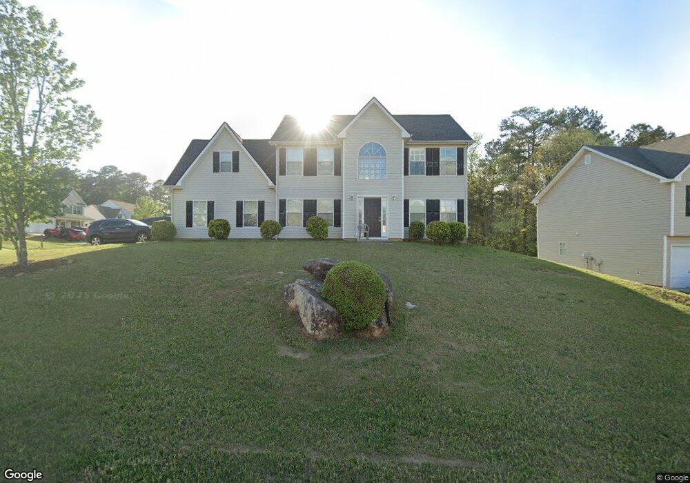
6865 Smoke Ridge Dr Atlanta, GA 30349
Estimated Value: $247,000 - $317,000
4
Beds
3
Baths
2,140
Sq Ft
$130/Sq Ft
Est. Value
About This Home
This home is located at 6865 Smoke Ridge Dr, Atlanta, GA 30349 and is currently estimated at $277,579, approximately $129 per square foot. 6865 Smoke Ridge Dr is a home located in Fulton County with nearby schools including S. L. Lewis Elementary School, Bethune Elementary School, and Mcnair Middle School.
Ownership History
Date
Name
Owned For
Owner Type
Purchase Details
Closed on
Jan 14, 2005
Sold by
Merrywood Llc
Bought by
Milton Loretta D
Current Estimated Value
Home Financials for this Owner
Home Financials are based on the most recent Mortgage that was taken out on this home.
Original Mortgage
$5,000
Interest Rate
5.62%
Mortgage Type
New Conventional
Create a Home Valuation Report for This Property
The Home Valuation Report is an in-depth analysis detailing your home's value as well as a comparison with similar homes in the area
Home Values in the Area
Average Home Value in this Area
Purchase History
| Date | Buyer | Sale Price | Title Company |
|---|---|---|---|
| Milton Loretta D | $158,400 | -- |
Source: Public Records
Mortgage History
| Date | Status | Borrower | Loan Amount |
|---|---|---|---|
| Previous Owner | Milton Loretta D | $5,000 |
Source: Public Records
Tax History Compared to Growth
Tax History
| Year | Tax Paid | Tax Assessment Tax Assessment Total Assessment is a certain percentage of the fair market value that is determined by local assessors to be the total taxable value of land and additions on the property. | Land | Improvement |
|---|---|---|---|---|
| 2025 | $1,408 | $100,000 | $18,840 | $81,160 |
| 2023 | $3,225 | $114,240 | $27,120 | $87,120 |
| 2022 | $1,116 | $69,440 | $6,520 | $62,920 |
| 2021 | $1,094 | $67,400 | $6,320 | $61,080 |
| 2020 | $1,097 | $66,600 | $6,240 | $60,360 |
| 2019 | $1,113 | $52,280 | $4,960 | $47,320 |
| 2018 | $1,343 | $51,040 | $4,840 | $46,200 |
| 2017 | $750 | $35,480 | $4,600 | $30,880 |
| 2016 | $748 | $35,480 | $4,600 | $30,880 |
| 2015 | $751 | $35,480 | $4,600 | $30,880 |
| 2014 | $765 | $35,480 | $4,600 | $30,880 |
Source: Public Records
Map
Nearby Homes
- 6808 Merrywood Dr
- 6600 Connell Rd
- 6695 Buckhurst Trail
- 3570 Keels Ln
- 1105 Buckhurst Dr
- 3325 Estate Lake Dr
- 6650 Smoke Ridge Dr
- 6945 Brown Dr S
- 6665 Cedar Hurst Trail
- 6435 Connell Rd Unit 2
- 6410 Buckhurst Trail
- 3480 Estate Lake Dr
- 120 Cainwood Ct W
- 6940 Cainwood Dr
- 2965 Forestside Ln Unit 4A
- 3455 Leisure Ln
- 6505 Cedar Hurst Trail
- 3065 Keenan Rd
- 3410 Leisure Ln
- 3250 Valley Bend Rd
- 6857 Smoke Ridge Dr
- 0 Smoke Ridge Dr Unit 7569660
- 0 Smoke Ridge Dr Unit 7154173
- 0 Smoke Ridge Dr Unit 8553834
- 0 Smoke Ridge Dr Unit 7358706
- 0 Smoke Ridge Dr Unit 8002980
- 0 Smoke Ridge Dr Unit 7601539
- 0 Smoke Ridge Dr Unit 7543187
- 0 Smoke Ridge Dr Unit 7107567
- 0 Smoke Ridge Dr Unit 3235203
- 0 Smoke Ridge Dr Unit 7226233
- 0 Smoke Ridge Dr
- 6871 Smoke Ridge Dr
- 6855 Smoke Ridge Dr Unit 1
- 6856 Smoke Ridge Dr
- 6866 Smoke Ridge Dr
- 6858 Smoke Ridge Dr
- 6873 Smoke Ridge Dr
- 6864 Smoke Ridge Dr
- 6845 Smoke Ridge Dr Unit 1