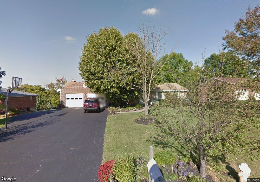
6866 Jimjon Ct Cincinnati, OH 45248
Estimated Value: $305,000 - $437,000
3
Beds
2
Baths
1,694
Sq Ft
$211/Sq Ft
Est. Value
About This Home
This home is located at 6866 Jimjon Ct, Cincinnati, OH 45248 and is currently estimated at $357,311, approximately $210 per square foot. 6866 Jimjon Ct is a home located in Hamilton County with nearby schools including Charles W Springmyer Elementary School, Bridgetown Middle School, and Oak Hills High School.
Ownership History
Date
Name
Owned For
Owner Type
Purchase Details
Closed on
Jul 27, 2010
Sold by
Gum Harold D and Gum Barbara
Bought by
Gum Harold D and Gum Barbara
Current Estimated Value
Home Financials for this Owner
Home Financials are based on the most recent Mortgage that was taken out on this home.
Original Mortgage
$87,000
Interest Rate
4.49%
Mortgage Type
New Conventional
Purchase Details
Closed on
Nov 5, 1999
Sold by
Gum Teresa L
Bought by
Gum Harold D
Create a Home Valuation Report for This Property
The Home Valuation Report is an in-depth analysis detailing your home's value as well as a comparison with similar homes in the area
Home Values in the Area
Average Home Value in this Area
Purchase History
| Date | Buyer | Sale Price | Title Company |
|---|---|---|---|
| Gum Harold D | -- | Attorney | |
| Gum Harold D | -- | -- |
Source: Public Records
Mortgage History
| Date | Status | Borrower | Loan Amount |
|---|---|---|---|
| Closed | Gum Harold D | $87,000 |
Source: Public Records
Tax History Compared to Growth
Tax History
| Year | Tax Paid | Tax Assessment Tax Assessment Total Assessment is a certain percentage of the fair market value that is determined by local assessors to be the total taxable value of land and additions on the property. | Land | Improvement |
|---|---|---|---|---|
| 2024 | $4,787 | $93,258 | $16,321 | $76,937 |
| 2023 | $4,786 | $93,258 | $16,321 | $76,937 |
| 2022 | $3,853 | $63,497 | $14,616 | $48,881 |
| 2021 | $3,464 | $63,497 | $14,616 | $48,881 |
| 2020 | $3,503 | $63,497 | $14,616 | $48,881 |
| 2019 | $3,431 | $56,697 | $13,052 | $43,645 |
| 2018 | $3,436 | $56,697 | $13,052 | $43,645 |
| 2017 | $3,244 | $56,697 | $13,052 | $43,645 |
| 2016 | $3,333 | $58,184 | $12,922 | $45,262 |
| 2015 | $3,358 | $58,184 | $12,922 | $45,262 |
| 2014 | $3,362 | $58,184 | $12,922 | $45,262 |
| 2013 | $3,176 | $58,773 | $13,052 | $45,721 |
Source: Public Records
Map
Nearby Homes
- 6953 Carlinridge Ln
- SHELBURN Plan at Janson Woods
- BRENNAN Plan at Janson Woods
- STRATTON Plan at Janson Woods
- QUENTIN Plan at Janson Woods
- VANDERBURGH Plan at Janson Woods
- BUCHANAN Plan at Janson Woods
- ASH LAWN Plan at Janson Woods
- ALDEN Plan at Janson Woods
- BENNETT Plan at Janson Woods
- LYNDHURST Plan at Janson Woods
- 10 Priya Place
- 6588 Hearne Rd
- 6604 Hearne Rd
- 6580 Hearne Rd
- 5185 Wesselman Woods Dr
- 5207 S Eaglesnest Dr
- 6780 Harrison Ave
- 5235 Peterborough Dr
- 6537 Chesapeake Run