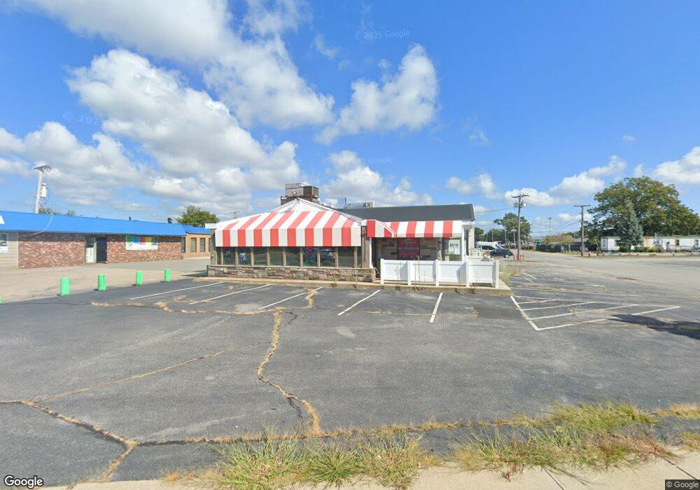
687 Airport Rd Warwick, RI 02886
Hillsgrove Neighborhood
--
Bed
--
Bath
3,207
Sq Ft
0.39
Acres
About This Home
This home is located at 687 Airport Rd, Warwick, RI 02886. 687 Airport Rd is a home located in Kent County.
Ownership History
Date
Name
Owned For
Owner Type
Purchase Details
Closed on
Jul 13, 2005
Sold by
Melanis George
Bought by
M & A Restaurant Prop Ll
Home Financials for this Owner
Home Financials are based on the most recent Mortgage that was taken out on this home.
Original Mortgage
$432,000
Outstanding Balance
$222,782
Interest Rate
5.67%
Mortgage Type
Commercial
Create a Home Valuation Report for This Property
The Home Valuation Report is an in-depth analysis detailing your home's value as well as a comparison with similar homes in the area
Home Values in the Area
Average Home Value in this Area
Purchase History
| Date | Buyer | Sale Price | Title Company |
|---|---|---|---|
| M & A Restaurant Prop Ll | $475,000 | -- |
Source: Public Records
Mortgage History
| Date | Status | Borrower | Loan Amount |
|---|---|---|---|
| Open | M & A Restaurant Prop Ll | $432,000 | |
| Closed | M & A Restaurant Prop Ll | $85,000 |
Source: Public Records
Tax History Compared to Growth
Tax History
| Year | Tax Paid | Tax Assessment Tax Assessment Total Assessment is a certain percentage of the fair market value that is determined by local assessors to be the total taxable value of land and additions on the property. | Land | Improvement |
|---|---|---|---|---|
| 2025 | $2,075 | $86,500 | $71,300 | $15,200 |
| 2024 | $6,588 | $260,200 | $62,000 | $198,200 |
| 2023 | $6,461 | $260,200 | $62,000 | $198,200 |
| 2022 | $9,821 | $349,500 | $53,100 | $296,400 |
| 2021 | $9,821 | $349,500 | $53,100 | $296,400 |
| 2020 | $9,821 | $349,500 | $53,100 | $296,400 |
| 2019 | $9,821 | $349,500 | $53,100 | $296,400 |
| 2018 | $8,565 | $282,100 | $62,000 | $220,100 |
| 2017 | $8,565 | $282,100 | $62,000 | $220,100 |
| 2016 | $8,565 | $282,100 | $62,000 | $220,100 |
| 2015 | $9,946 | $319,500 | $62,000 | $257,500 |
| 2014 | $9,614 | $319,500 | $62,000 | $257,500 |
| 2013 | $9,483 | $319,500 | $62,000 | $257,500 |
Source: Public Records
Map
Nearby Homes
- 76 Massachusetts Ave
- 77 Kentucky Ave
- 93 Grotto Ave
- 396 Elm St
- 401 Lake Shore Dr
- 63 Massasoit Dr
- 144 Hoxsie Ave
- 169 Partition St
- 418 Lake Shore Dr
- 1153 Post Rd
- 33 Hargraves St
- 52 Recess Ln
- 33 Recess Ln
- 447 Harrington Ave
- 93 Easton Ave
- 1052 Post Rd
- 41 Recess Ln
- 40 Cavalcade Blvd
- 56 Partition St
- 40 Easton Ave
- 0 Dewey
- 685 Airport Rd
- 699 Airport Rd
- 125 Dewey Ave
- 717 Airport Rd
- 9 Roseland Ave
- 0 Roseland Ave
- 221 Hallene Rd
- 221 Hallene Rd Unit B
- 26 Hasbrouck Ave
- 70 Dewey Ave
- 64 Dewey Ave
- 44 Roseland Ave
- 205 Hallene Rd Unit 106
- 205 Hallene Rd Unit 103
- 205 Hallene Rd Unit 103/104
- 205 Hallene Rd
- 205 Hallene Rd Unit 13
- 205 Hallene Rd Unit 319-320
- 205 Hallene Rd Unit 1