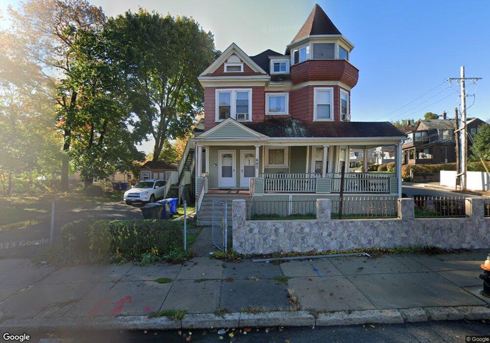
687 Cummins Hwy Mattapan, MA 02126
Southern Mattapan NeighborhoodEstimated Value: $765,000 - $1,058,000
5
Beds
3
Baths
2,687
Sq Ft
$326/Sq Ft
Est. Value
About This Home
This home is located at 687 Cummins Hwy, Mattapan, MA 02126 and is currently estimated at $876,021, approximately $326 per square foot. 687 Cummins Hwy is a home located in Suffolk County with nearby schools including KIPP Academy Boston Charter School, Boston Preparatory Charter Public School, and Berea Seventh-day Adventist Academy.
Ownership History
Date
Name
Owned For
Owner Type
Purchase Details
Closed on
Jul 20, 2004
Sold by
Adkins Ft
Bought by
Adighibe Delores B
Current Estimated Value
Home Financials for this Owner
Home Financials are based on the most recent Mortgage that was taken out on this home.
Original Mortgage
$50,000
Interest Rate
6.25%
Mortgage Type
Purchase Money Mortgage
Create a Home Valuation Report for This Property
The Home Valuation Report is an in-depth analysis detailing your home's value as well as a comparison with similar homes in the area
Home Values in the Area
Average Home Value in this Area
Purchase History
| Date | Buyer | Sale Price | Title Company |
|---|---|---|---|
| Adighibe Delores B | $485,000 | -- |
Source: Public Records
Mortgage History
| Date | Status | Borrower | Loan Amount |
|---|---|---|---|
| Open | Adighibe Delores B | $388,000 | |
| Closed | Adighibe Delores B | $48,500 | |
| Closed | Adighibe Delores B | $50,000 | |
| Closed | Adighibe Delores B | $300,000 |
Source: Public Records
Tax History Compared to Growth
Tax History
| Year | Tax Paid | Tax Assessment Tax Assessment Total Assessment is a certain percentage of the fair market value that is determined by local assessors to be the total taxable value of land and additions on the property. | Land | Improvement |
|---|---|---|---|---|
| 2025 | $8,260 | $713,300 | $188,800 | $524,500 |
| 2024 | $7,359 | $675,100 | $169,400 | $505,700 |
| 2023 | $6,840 | $636,900 | $159,800 | $477,100 |
| 2022 | $6,929 | $636,900 | $159,800 | $477,100 |
| 2021 | $6,178 | $579,000 | $145,300 | $433,700 |
| 2020 | $5,546 | $525,200 | $144,900 | $380,300 |
| 2019 | $5,128 | $486,500 | $107,900 | $378,600 |
| 2018 | $4,554 | $434,500 | $107,900 | $326,600 |
| 2017 | $4,425 | $417,800 | $107,900 | $309,900 |
| 2016 | $4,178 | $379,800 | $107,900 | $271,900 |
| 2015 | $3,862 | $318,900 | $100,000 | $218,900 |
| 2014 | $3,714 | $295,200 | $100,000 | $195,200 |
Source: Public Records
Map
Nearby Homes
- 839-843 Cummins Hwy
- 231 Itasca St
- 770 Cummins Hwy Unit 1
- 770 Cummins Hwy Unit 22
- 10 Brockton St
- 34 Ridlon Rd
- 95 Woodhaven St
- 90 Hollingsworth St
- 179 Hebron St
- 265 Hebron St
- 23 Caton St
- 72 Livermore St
- 48-50 Rockdale St
- 100 Itasca St
- 25 Alpine St Unit 7
- 20 Monterey Ave
- 7 Winborough St
- 645 River St
- 60 and 64 Monterey Ave
- 0 Tina Ave
- 6 Rugby Rd
- 0 Savannah Ave Unit 72304855
- 0 Savannah Ave Unit 71168352
- 0 Savannah Ave Unit 71257436
- 0 Savannah Ave Unit 71382177
- 0 Savannah Ave Unit 72018140
- 0 Savannah Ave Unit 72140834
- 0 Savannah Ave Unit 70666758
- 10 Rugby Rd Unit 12
- 677 Cummins Hwy
- 16 Rugby Rd
- 15 Rugby Rd
- 699 Cummins Hwy
- 699 Cummins Hwy
- 699 Cummins Hwy Unit 10
- 254 Savannah Ave
- 714 Cummins Hwy
- 714 Cummins Hwy
- 714 Cummins Hwy Unit 2
- 714 Cummins Hwy Unit 1