687 Freemans Ln Point Roberts, WA 98281
Estimated Value: $563,000 - $829,033
1
Bed
1
Bath
1,100
Sq Ft
$640/Sq Ft
Est. Value
About This Home
This home is located at 687 Freemans Ln, Point Roberts, WA 98281 and is currently estimated at $704,258, approximately $640 per square foot. 687 Freemans Ln is a home located in Whatcom County with nearby schools including Point Roberts Primary School, Blaine Middle School, and Blaine High School.
Ownership History
Date
Name
Owned For
Owner Type
Purchase Details
Closed on
Jan 13, 2001
Sold by
Binstead Dennis and Binstead Norma
Bought by
Binstead Mark Richard and Binstead Ian Michael
Current Estimated Value
Purchase Details
Closed on
Jan 8, 2000
Sold by
Binstead Dennis and Binstead Norma
Bought by
Binstead Mark Richard and Binstead Ian Michael
Purchase Details
Closed on
Nov 21, 1999
Sold by
Binstead Dennis and Binstead Norma
Bought by
Binstead Mark Richard and Binstead Ian Michael
Create a Home Valuation Report for This Property
The Home Valuation Report is an in-depth analysis detailing your home's value as well as a comparison with similar homes in the area
Home Values in the Area
Average Home Value in this Area
Purchase History
| Date | Buyer | Sale Price | Title Company |
|---|---|---|---|
| Binstead Mark Richard | -- | -- | |
| Binstead Mark Richard | -- | -- | |
| Binstead Mark Richard | -- | -- |
Source: Public Records
Tax History
| Year | Tax Paid | Tax Assessment Tax Assessment Total Assessment is a certain percentage of the fair market value that is determined by local assessors to be the total taxable value of land and additions on the property. | Land | Improvement |
|---|---|---|---|---|
| 2025 | $7,066 | $901,504 | $729,900 | $171,604 |
| 2024 | $6,523 | $892,597 | $722,700 | $169,897 |
| 2023 | $6,523 | $826,897 | $657,000 | $169,897 |
| 2022 | $6,481 | $755,157 | $600,000 | $155,157 |
| 2021 | $6,952 | $683,037 | $562,050 | $120,987 |
| 2020 | $6,906 | $683,037 | $562,050 | $120,987 |
| 2019 | $6,382 | $655,420 | $539,325 | $116,095 |
| 2018 | $6,455 | $589,796 | $485,325 | $104,471 |
| 2017 | $5,538 | $563,273 | $463,500 | $99,773 |
| 2016 | $6,135 | $546,867 | $450,000 | $96,867 |
| 2015 | $6,460 | $589,118 | $493,050 | $96,068 |
| 2014 | -- | $609,559 | $510,000 | $99,559 |
| 2013 | -- | $584,865 | $490,000 | $94,865 |
Source: Public Records
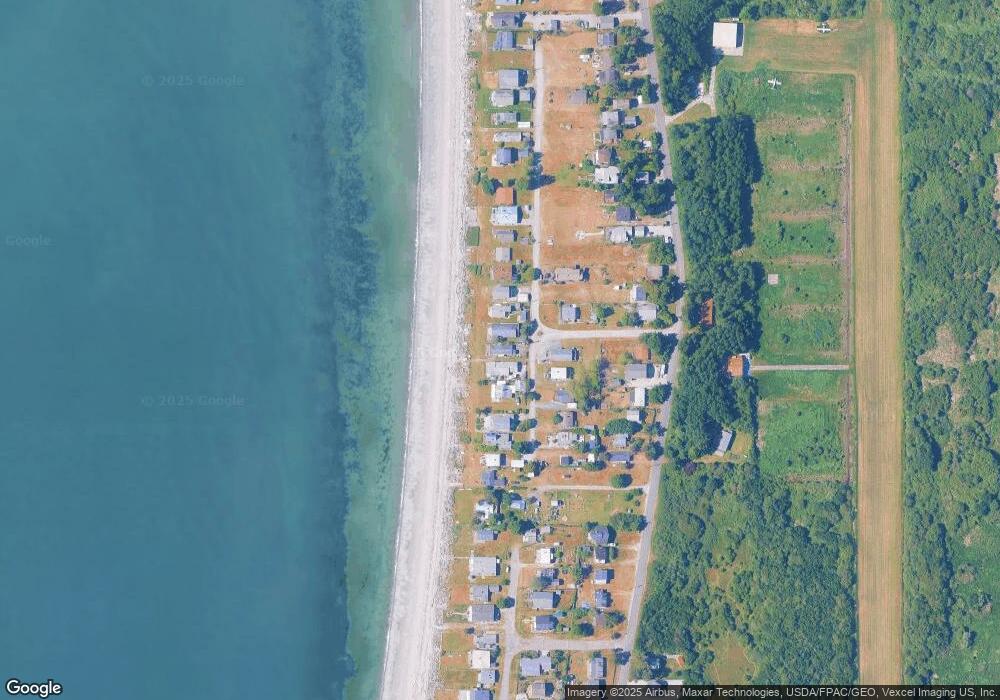
Map
Nearby Homes
- 631 Freemans Ln
- 1361 Peltier Dr
- 721 Ocean View Ct
- 1379 Gulf Rd
- 1477 Edwards Dr
- 1334 Gulf Rd
- 1438 Gulf Rd
- 1587 Harbor Seal Dr
- Lot #8 Marine Dr
- 585 Marine Dr
- 1630 Edwards Dr
- 1648 Harbor Seal Dr
- 1542 Columbia Vista Dr
- 230 Iris Blvd
- 329 Gulf View Crescent
- 11 Lot Rex St
- 168 Tyee Dr
- 211 Marine Dr
- 1920 Patos Way
- 1774 Centennial Place
- 693 Freemans Ln
- 681 Freemans Ln
- 695 Freemans Ln
- 671 Freemans Ln
- 673 Freeman Ln
- 688 Freemans Ln
- 697 Freemans Ln
- 686 Freeman Ln
- 692 Freemans Ln
- 669 Freemans Ln
- 678 Freeman Ln
- 694 Freemans Ln
- 699 Freemans Ln
- 678 Freemans Ln
- 698 Freemans Ln
- 667 Freemans Ln
- 670 Freemans Ln
- 709 Marine Dr
- 685 Marine Dr
- 683 Marine Dr
Your Personal Tour Guide
Ask me questions while you tour the home.