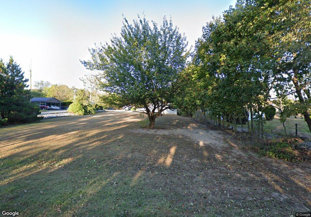
Estimated Value: $363,527 - $493,000
--
Bed
--
Bath
2,216
Sq Ft
$190/Sq Ft
Est. Value
About This Home
This home is located at 687 Gershal Ave, Elmer, NJ 08318 and is currently estimated at $421,382, approximately $190 per square foot. 687 Gershal Ave is a home located in Salem County with nearby schools including Elmer Elementary School, Pittsgrove Township Middle School, and Arthur P. Schalick High School.
Ownership History
Date
Name
Owned For
Owner Type
Purchase Details
Closed on
Dec 5, 2005
Sold by
101 Orchard Llc
Bought by
Axtman Robert and Axtman Donna M
Current Estimated Value
Home Financials for this Owner
Home Financials are based on the most recent Mortgage that was taken out on this home.
Original Mortgage
$204,000
Outstanding Balance
$114,478
Interest Rate
6.34%
Mortgage Type
Fannie Mae Freddie Mac
Estimated Equity
$306,904
Purchase Details
Closed on
May 20, 2005
Sold by
Wozunk Harry L and Wozunk Jacqueline
Bought by
101 Orchard Llc
Create a Home Valuation Report for This Property
The Home Valuation Report is an in-depth analysis detailing your home's value as well as a comparison with similar homes in the area
Home Values in the Area
Average Home Value in this Area
Purchase History
| Date | Buyer | Sale Price | Title Company |
|---|---|---|---|
| Axtman Robert | $255,000 | None Available | |
| 101 Orchard Llc | $128,000 | Colonial Title Agency |
Source: Public Records
Mortgage History
| Date | Status | Borrower | Loan Amount |
|---|---|---|---|
| Open | Axtman Robert | $204,000 |
Source: Public Records
Tax History Compared to Growth
Tax History
| Year | Tax Paid | Tax Assessment Tax Assessment Total Assessment is a certain percentage of the fair market value that is determined by local assessors to be the total taxable value of land and additions on the property. | Land | Improvement |
|---|---|---|---|---|
| 2025 | $10,949 | $264,500 | $41,400 | $223,100 |
| 2024 | $10,409 | $264,500 | $41,400 | $223,100 |
| 2023 | $10,409 | $264,500 | $41,400 | $223,100 |
| 2022 | $10,280 | $264,500 | $41,400 | $223,100 |
| 2021 | $9,708 | $264,500 | $41,400 | $223,100 |
| 2020 | $9,708 | $264,500 | $41,400 | $223,100 |
| 2019 | $9,539 | $264,500 | $41,400 | $223,100 |
| 2018 | $9,320 | $264,500 | $41,400 | $223,100 |
| 2017 | $8,949 | $264,500 | $41,400 | $223,100 |
| 2016 | $8,481 | $264,500 | $41,400 | $223,100 |
| 2015 | $8,063 | $264,500 | $41,400 | $223,100 |
| 2014 | $7,719 | $264,500 | $41,400 | $223,100 |
Source: Public Records
Map
Nearby Homes
- 765 Gershal Ave
- 58 Wallace St
- 14 Harrison St
- 558 Gershal Ave
- 834 Gershal Ave
- 0 Levishohn St
- 0 Block 2701 Lot 169 Landis Ave
- 1799 W Landis Ave
- L 1 & 1.01 Shiff Ave
- L:39 S Mill Rd
- 656 Nottingham Dr
- 1535 W Landis Ave
- 933 Vineland Ave
- 127 Doren Terrace
- 1457 W Landis Ave
- 117 Middle Dr Unit 117
- 27 Briarwood Ln
- 8 Bayberry Ln Unit 8
- 119 Middle Dr Unit 23 DOGWOOD LANE
- 5 Briarwood Ln
- 695 Gershal Ave
- 681 Gershal Ave
- 1247 Landis Ave
- 682 Gershal Ave
- 1240 Landis Ave
- 1272 Landis Ave
- 1226 Landis Ave
- 662 Gershal Ave
- 32 Evelyn Ave
- 672 Gershal Ave
- 1287 Landis Ave
- 731 Gershal Ave
- 1287 W Landis Ave
- 1283 Landis Ave
- 674 Gershal Ave
- 650 Gershal Ave
- 1218 Landis Ave
- 730 Gershal Ave
- 42 Evelyn Ave
- 1290 Landis Ave
