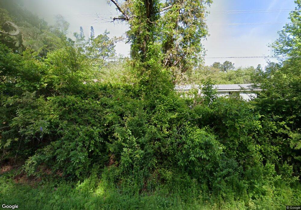
687 Hobson Rd Raeford, NC 28376
Estimated Value: $152,000 - $185,000
--
Bed
2
Baths
1,248
Sq Ft
$137/Sq Ft
Est. Value
About This Home
This home is located at 687 Hobson Rd, Raeford, NC 28376 and is currently estimated at $171,333, approximately $137 per square foot. 687 Hobson Rd is a home located in Hoke County with nearby schools including Don D. Steed Elementary School, East Hoke Middle, and Hoke County High.
Ownership History
Date
Name
Owned For
Owner Type
Purchase Details
Closed on
Apr 15, 2025
Sold by
Hasan Abdulwahab and Hasan Adulwahab Amn
Bought by
S & H Rental Inc
Current Estimated Value
Purchase Details
Closed on
Jun 21, 2007
Sold by
Deutsche Bank National Trust Co
Bought by
Hasan David
Purchase Details
Closed on
Oct 31, 2006
Sold by
Patterson Stanley and Patterson Yolanda
Bought by
Deutsche Bank National Trust Co
Create a Home Valuation Report for This Property
The Home Valuation Report is an in-depth analysis detailing your home's value as well as a comparison with similar homes in the area
Home Values in the Area
Average Home Value in this Area
Purchase History
| Date | Buyer | Sale Price | Title Company |
|---|---|---|---|
| S & H Rental Inc | -- | None Listed On Document | |
| S & H Rental Inc | -- | None Listed On Document | |
| Hasan David | $19,000 | None Available | |
| Deutsche Bank National Trust Co | $45,500 | None Available |
Source: Public Records
Tax History Compared to Growth
Tax History
| Year | Tax Paid | Tax Assessment Tax Assessment Total Assessment is a certain percentage of the fair market value that is determined by local assessors to be the total taxable value of land and additions on the property. | Land | Improvement |
|---|---|---|---|---|
| 2025 | $666 | $66,120 | $46,070 | $20,050 |
| 2024 | $666 | $66,120 | $46,070 | $20,050 |
| 2023 | $666 | $66,120 | $46,070 | $20,050 |
| 2022 | $655 | $66,120 | $46,070 | $20,050 |
| 2021 | $497 | $45,170 | $16,750 | $28,420 |
| 2020 | $503 | $45,170 | $16,750 | $28,420 |
| 2019 | $503 | $45,170 | $16,750 | $28,420 |
| 2018 | $503 | $45,170 | $16,750 | $28,420 |
| 2017 | $503 | $45,170 | $16,750 | $28,420 |
| 2016 | $495 | $45,170 | $16,750 | $28,420 |
| 2015 | $495 | $45,170 | $16,750 | $28,420 |
| 2014 | $476 | $45,170 | $16,750 | $28,420 |
| 2013 | -- | $45,810 | $13,400 | $32,410 |
Source: Public Records
Map
Nearby Homes
- 119 Dolphin Dr
- 148 Haywood Dr
- 110 Breckenridge Dr
- 128 Meadow Sage St
- 138 Meadow Sage St
- 129 Stonebriar Ave
- 1351 Hobson Rd
- 1585 Scull Rd
- 266 Ironbark (Lot 48) Dr
- 276 Ironbark (Lot 47) Dr
- 1585 Scull (Lot 4) Rd
- Cape Fear Plan at Bedford - Highlands
- Kingston Plan at Bedford - Highlands
- Fawnbrook Plan at Bedford - Highlands
- Southbrook Plan at Bedford - Highlands
- Reedsville Plan at Bedford - Highlands
- 172 Haynes Church Rd
- 694 Union St Homesite 351
- 707 Union St
- 685 Union St
- 673 Hobson Rd
- 102 Congaree Dr
- 101 Congaree Dr
- 104 Congaree Dr
- 103 Haywood Dr
- 622 Hobson Rd
- 102 Haywood Dr
- 106 Congaree Dr
- 104 Haywood Dr
- 105 Haywood Dr
- 595 Hobson Rd
- 154 Pilgrim Mhp
- 107 Haywood Dr
- 106 Haywood Dr
- 111 Congaree Dr
- 110 Congaree Dr
- 570 Hobson Rd
- 109 Haywood Dr
- 108 Haywood Dr
- 112 Congaree Dr
