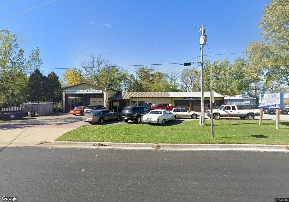
687 N Burr Oak Ave Oregon, WI 53575
Estimated Value: $448,078
--
Bed
--
Bath
10,000
Sq Ft
$45/Sq Ft
Est. Value
About This Home
This home is located at 687 N Burr Oak Ave, Oregon, WI 53575 and is currently estimated at $448,078, approximately $44 per square foot. 687 N Burr Oak Ave is a home located in Dane County with nearby schools including Rome Corners Intermediate School, Oregon Middle School, and Oregon High School.
Ownership History
Date
Name
Owned For
Owner Type
Purchase Details
Closed on
Feb 24, 2010
Sold by
Wallace Enterprises Llc
Bought by
Reuterskiold Calvin J and Reuterskiold Luisa L
Current Estimated Value
Home Financials for this Owner
Home Financials are based on the most recent Mortgage that was taken out on this home.
Original Mortgage
$160,000
Outstanding Balance
$106,731
Interest Rate
5.11%
Mortgage Type
Commercial
Estimated Equity
$341,347
Create a Home Valuation Report for This Property
The Home Valuation Report is an in-depth analysis detailing your home's value as well as a comparison with similar homes in the area
Home Values in the Area
Average Home Value in this Area
Purchase History
| Date | Buyer | Sale Price | Title Company |
|---|---|---|---|
| Reuterskiold Calvin J | $200,000 | None Available | |
| Wallace Enterprises Llc | -- | None Available |
Source: Public Records
Mortgage History
| Date | Status | Borrower | Loan Amount |
|---|---|---|---|
| Open | Reuterskiold Calvin J | $160,000 |
Source: Public Records
Tax History Compared to Growth
Tax History
| Year | Tax Paid | Tax Assessment Tax Assessment Total Assessment is a certain percentage of the fair market value that is determined by local assessors to be the total taxable value of land and additions on the property. | Land | Improvement |
|---|---|---|---|---|
| 2024 | $3,970 | $235,900 | $80,800 | $155,100 |
| 2023 | $3,851 | $235,900 | $80,800 | $155,100 |
| 2021 | $3,548 | $200,000 | $80,800 | $119,200 |
| 2020 | $3,661 | $200,000 | $80,800 | $119,200 |
| 2019 | $3,667 | $200,000 | $80,800 | $119,200 |
| 2018 | $3,728 | $200,000 | $80,800 | $119,200 |
| 2017 | $3,805 | $200,000 | $80,800 | $119,200 |
| 2016 | $3,919 | $200,000 | $80,800 | $119,200 |
| 2015 | $3,957 | $200,000 | $80,800 | $119,200 |
| 2014 | $3,951 | $200,000 | $80,800 | $119,200 |
| 2013 | $3,983 | $200,000 | $80,800 | $119,200 |
Source: Public Records
Map
Nearby Homes
- 0 + - 20ac Whalen Rd
- 1017 Autumn Blaze Ct
- 441 Jefferson St
- 981 Merri Hill Dr
- The Costello Plan at Greenview Preserve
- The Emerson (Twin Home) Plan at Greenview Preserve
- The Gramercy Plan at Greenview Preserve
- The Everest Plan at Greenview Preserve
- The Tribeca Plan at Greenview Preserve
- The Astoria Plan at Greenview Preserve
- The Weston Plan at Greenview Preserve
- The Jade Plan at Greenview Preserve
- The Davis Twin Home Plan at Greenview Preserve
- 574 Stoddard Dr
- 981 Merri-Hill Dr
- 993 Merri-Hill Dr
- 468 Stoddard Dr
- 500 Stoddard Dr
- 110 Saratoga Cir
- 574 Campo Ln
- 5015 W Netherwood Rd
- 5021 W Netherwood Rd
- 2 W Netherwood Rd
- 281 W Netherwood St Unit 1
- 281 W Netherwood St Unit 2
- 281 W Netherwood St
- 281 W Netherwood St
- 0 County Road Mm
- 603 Market St
- 551 Autumn Ridge Ct
- 565 Autumn Ridge Ct
- 562 Autumn Ridge Ct
- 367 Peterson Trail
- 559 Autumn Ridge Ct
- 556 Autumn Ridge Ct
- 546 Autumn Ridge Ct
- 547 Autumn Ridge Ct
- 602 Market St
- 153 Franklin St
- 550 Market St