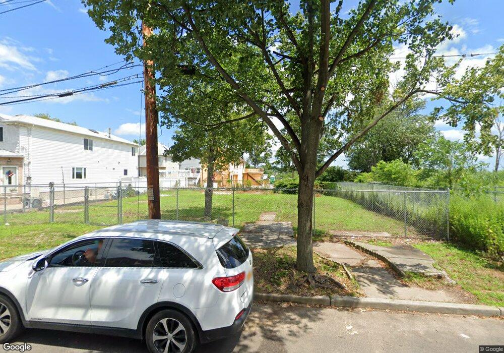
687 Yetman Ave Staten Island, NY 10307
Tottenville NeighborhoodEstimated Value: $318,000 - $993,000
--
Bed
4
Baths
2,160
Sq Ft
$275/Sq Ft
Est. Value
About This Home
This home is located at 687 Yetman Ave, Staten Island, NY 10307 and is currently estimated at $593,174, approximately $274 per square foot. 687 Yetman Ave is a home located in Richmond County with nearby schools including P.S. 1 Tottenville, Is 34 Tottenville, and Tottenville High School.
Ownership History
Date
Name
Owned For
Owner Type
Purchase Details
Closed on
Dec 17, 2021
Sold by
Project Rebuild Inc
Bought by
City Of New York
Current Estimated Value
Purchase Details
Closed on
Aug 6, 2016
Sold by
Restored Homes Housing Development Fund
Bought by
Project Rebuild Inc
Purchase Details
Closed on
Sep 30, 2015
Sold by
Smith Russell and Smith Annemarie
Bought by
Housing Trust Fund Corporation
Purchase Details
Closed on
Oct 10, 2013
Sold by
Dresch Patricia and Dresch George
Bought by
Restored Homes Housing Development Fund
Create a Home Valuation Report for This Property
The Home Valuation Report is an in-depth analysis detailing your home's value as well as a comparison with similar homes in the area
Home Values in the Area
Average Home Value in this Area
Purchase History
| Date | Buyer | Sale Price | Title Company |
|---|---|---|---|
| City Of New York | -- | New York City Law Department | |
| Project Rebuild Inc | -- | All New York Title Agency In | |
| Housing Trust Fund Corporation | -- | Commonwealth Land Title Ins | |
| Restored Homes Housing Development Fund | $250,000 | All New York Title Agency In |
Source: Public Records
Tax History Compared to Growth
Tax History
| Year | Tax Paid | Tax Assessment Tax Assessment Total Assessment is a certain percentage of the fair market value that is determined by local assessors to be the total taxable value of land and additions on the property. | Land | Improvement |
|---|---|---|---|---|
| 2025 | -- | $23,280 | $20,822 | $2,458 |
| 2024 | $3,773 | $21,600 | $20,143 | $1,457 |
| 2023 | $0 | $22,740 | $19,003 | $3,737 |
| 2022 | $3,773 | $23,940 | $23,940 | $0 |
| 2021 | $3,773 | $23,160 | $23,160 | $0 |
| 2020 | $3,673 | $24,360 | $24,360 | $0 |
| 2019 | $3,511 | $24,480 | $24,480 | $0 |
| 2018 | $3,228 | $15,836 | $15,836 | $0 |
| 2017 | $3,046 | $14,940 | $14,940 | $0 |
| 2016 | $2,987 | $14,940 | $14,940 | $0 |
| 2015 | $2,775 | $14,460 | $14,460 | $0 |
| 2014 | $2,775 | $14,460 | $14,460 | $0 |
Source: Public Records
Map
Nearby Homes
- 667 Yetman Ave
- 443 Manhattan St
- 61 Billop Ave
- 660 Rockaway St
- 659 Rockaway St Unit 661
- 382 Manhattan St
- 108 Surfside Plaza Unit 87
- 110 Surfside Plaza Unit 88
- 539 Yetman Ave
- 342 Chelsea St
- 320 Sprague Ave
- 284 Chelsea St
- 57 Sunset Ln
- 220 Sprague Ave
- 197 Aspinwall St
- 411 Yetman Ave
- 403 Yetman Ave
- 43 Ottavio Promenade
- 329 George St
- 197 Finlay St
- 681 Yetman Ave
- 689 Yetman Ave
- 679 Yetman Ave
- 675 Yetman Ave
- 722 Rockaway St
- 720 Rockaway St
- 673 Yetman Ave
- 714 Rockaway St Unit 716
- 714-716 Rockaway St
- 671-673 Yetman Ave
- 671 Yetman Ave
- 716 Rockaway St
- 671-73 Yetman Ave
- 684 Yetman Ave
- 686 Yetman Ave
- 682 Yetman Ave
- 712 Rockaway St
- 678 Yetman Ave
- 515 Surf Ave
- 708 Rockaway St