6870 Fireside Ln Atlanta, GA 30349
Estimated Value: $335,614 - $392,000
4
Beds
3
Baths
2,930
Sq Ft
$122/Sq Ft
Est. Value
About This Home
This home is located at 6870 Fireside Ln, Atlanta, GA 30349 and is currently estimated at $356,404, approximately $121 per square foot. 6870 Fireside Ln is a home located in Fulton County with nearby schools including Wolf Creek Elementary, Renaissance Middle School, and Langston Hughes High School.
Ownership History
Date
Name
Owned For
Owner Type
Purchase Details
Closed on
Jun 11, 2004
Sold by
Legacy Cmntys Cooks Landing Llc
Bought by
Walden Lee A
Current Estimated Value
Home Financials for this Owner
Home Financials are based on the most recent Mortgage that was taken out on this home.
Original Mortgage
$173,027
Outstanding Balance
$85,092
Interest Rate
6.09%
Mortgage Type
VA
Estimated Equity
$271,312
Create a Home Valuation Report for This Property
The Home Valuation Report is an in-depth analysis detailing your home's value as well as a comparison with similar homes in the area
Home Values in the Area
Average Home Value in this Area
Purchase History
| Date | Buyer | Sale Price | Title Company |
|---|---|---|---|
| Walden Lee A | $175,800 | -- |
Source: Public Records
Mortgage History
| Date | Status | Borrower | Loan Amount |
|---|---|---|---|
| Open | Walden Lee A | $173,027 |
Source: Public Records
Tax History Compared to Growth
Tax History
| Year | Tax Paid | Tax Assessment Tax Assessment Total Assessment is a certain percentage of the fair market value that is determined by local assessors to be the total taxable value of land and additions on the property. | Land | Improvement |
|---|---|---|---|---|
| 2025 | $1,730 | $138,160 | $25,320 | $112,840 |
| 2023 | $3,780 | $133,920 | $26,440 | $107,480 |
| 2022 | $1,608 | $106,200 | $18,880 | $87,320 |
| 2021 | $1,530 | $85,960 | $19,040 | $66,920 |
| 2020 | $1,431 | $74,320 | $13,000 | $61,320 |
| 2019 | $1,766 | $75,600 | $15,360 | $60,240 |
| 2018 | $1,843 | $63,600 | $8,560 | $55,040 |
| 2017 | $1,075 | $43,440 | $10,440 | $33,000 |
| 2016 | $1,073 | $43,440 | $10,440 | $33,000 |
| 2015 | $1,076 | $43,440 | $10,440 | $33,000 |
| 2014 | $1,109 | $43,440 | $10,440 | $33,000 |
Source: Public Records
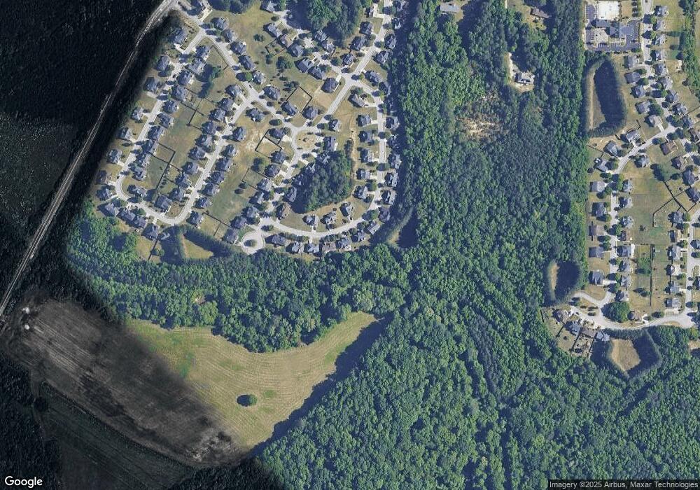
Map
Nearby Homes
- 6843 Foxfire Place
- 6640 E Stubbs Rd
- 6639 Overlook Ridge
- 4247 Butternut Place
- 4224 Butternut Place
- 4369 Estate St
- 4270 Holliday Rd
- 4140 Butternut Place
- 6292 Dekeon Dr
- 0 Jones Rd Unit 10486732
- 0 Jones Rd Unit 7548174
- 4189 Post Oak Grove
- 6476 Snowden Dr
- 4185 Post Oak Grove
- 865 Athena Bend
- 337 Mossycup Dr
- 3985 Demooney Rd
- 6684 Crane Ave
- 3930 Demooney Rd
- 4327 Shamrock Dr
- 6874 Fireside Ln
- 6866 Fireside Ln
- 6878 Fireside Ln
- 4401 Fireside Ln
- 6877 Fireside Ln
- 6862 Fireside Ln
- 6869 Fireside Ln
- 6885 Fireside Ln
- 0 Fireside Ln Unit 7184644
- 0 Fireside Ln Unit 3176903
- 0 Fireside Ln Unit 3148592
- 0 Fireside Ln Unit 8776204
- 0 Fireside Ln Unit 8624951
- 0 Fireside Ln Unit 8565440
- 0 Fireside Ln Unit 8461113
- 0 Fireside Ln Unit 8082679
- 0 Fireside Ln
- 6882 Fireside Ln
- 6858 Fireside Ln
- 6861 Fireside Ln