Estimated Value: $1,901,054
--
Bed
--
Bath
--
Sq Ft
339
Acres
About This Home
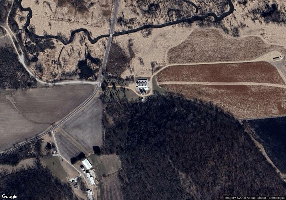
This home is located at 6871 Coon Rock Rd, Arena, WI 53503 and is currently estimated at $1,901,054. 6871 Coon Rock Rd is a home located in Iowa County with nearby schools including River Valley High School.
Ownership History
Date
Name
Owned For
Owner Type
Purchase Details
Closed on
Jul 17, 2015
Sold by
Anding Enterprises Llp
Bought by
Hamilton Daniel and Hamilton Margaret
Current Estimated Value
Purchase Details
Closed on
Apr 15, 2015
Sold by
Anding Enterprises
Bought by
Wendt Oscar C Lisa Irene Oscar H and Wendt Rebecca
Purchase Details
Closed on
Jan 27, 2010
Sold by
Orcutt Delores I
Bought by
Anding Enterprises Llp A Wisconsin Lim
Create a Home Valuation Report for This Property
The Home Valuation Report is an in-depth analysis detailing your home's value as well as a comparison with similar homes in the area
Home Values in the Area
Average Home Value in this Area
Purchase History
| Date | Buyer | Sale Price | Title Company |
|---|---|---|---|
| Hamilton Daniel | $885,000 | -- | |
| Wendt Oscar C Lisa Irene Oscar H | $41,952 | -- | |
| Anding Enterprises Llp A Wisconsin Lim | -- | -- |
Source: Public Records
Tax History Compared to Growth
Tax History
| Year | Tax Paid | Tax Assessment Tax Assessment Total Assessment is a certain percentage of the fair market value that is determined by local assessors to be the total taxable value of land and additions on the property. | Land | Improvement |
|---|---|---|---|---|
| 2024 | $6,911 | $494,900 | $35,000 | $459,900 |
| 2023 | $6,874 | $494,300 | $34,400 | $459,900 |
| 2022 | $8,675 | $488,900 | $29,000 | $459,900 |
| 2021 | $8,457 | $488,600 | $28,700 | $459,900 |
| 2020 | $8,305 | $456,100 | $25,800 | $430,300 |
| 2019 | $4,871 | $277,400 | $25,700 | $251,700 |
| 2018 | $4,535 | $277,100 | $25,400 | $251,700 |
| 2017 | $2,509 | $150,800 | $25,300 | $125,500 |
| 2016 | $3,200 | $186,700 | $25,300 | $161,400 |
| 2015 | $3,189 | $186,600 | $25,200 | $161,400 |
| 2014 | -- | $186,700 | $25,300 | $161,400 |
| 2013 | -- | $186,700 | $25,300 | $161,400 |
| 2012 | -- | $186,900 | $25,500 | $161,400 |
Source: Public Records
Map
Nearby Homes
- 7045 Coon Rock Rd
- 6560 U S 14
- 8.46 Acres Coon Rock Rd
- 6131 Helena Rd
- 400 Mourning Dove Ct
- 1316 S Springs Dr
- 5.78 ac Highbanks Ln
- 7750 Pine Rd
- L45 & L46 Sunrise Dr
- L10 Prairie Dr
- 516 Oak St
- 88.3 M/L Acres US Highway 14
- 423 Willow St
- 384 Willow St
- 3.68AC Reimann Rd
- 221 S Winsted St
- 5601 County Road H
- 155 Us Highway 14
- L16 Sunrise Dr
- L10 Sunrise Dr
- 6872 Coon Rock Rd
- 6874 Coon Rock Rd
- 6870 Coon Rock Rd
- 6835 Coon Rock Rd
- 6970 Coon Rock Rd
- 6687 Demby Rd
- 6721 Demby Rd
- L1 Bennett Rd
- 6738 Demby Rd
- 7010 Coon Rock Rd
- 6650 Mill Rd
- 6797 Demby Rd
- .55 ac Coon Rock Ct
- .55 acres Coon Rock Ct
- 7037 Coon Rock Rd
- 6799 Demby Rd
- 6768 Demby Rd
- 6774 Demby Rd
- .77 Coon Rock Ct
- 6792 Demby Rd
