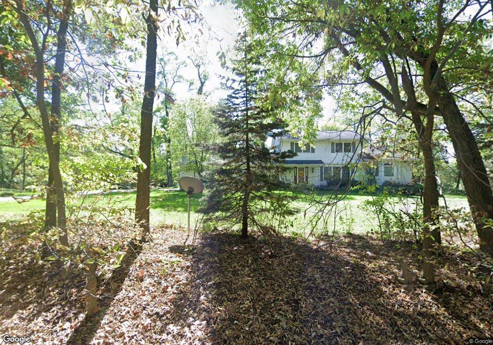
6871 Sunset Dr Verona, WI 53593
Estimated Value: $800,000 - $1,243,000
5
Beds
4
Baths
3,248
Sq Ft
$289/Sq Ft
Est. Value
About This Home
This home is located at 6871 Sunset Dr, Verona, WI 53593 and is currently estimated at $937,745, approximately $288 per square foot. 6871 Sunset Dr is a home located in Dane County with nearby schools including Country View Elementary School, Savanna Oaks Middle School, and Verona Area High School.
Ownership History
Date
Name
Owned For
Owner Type
Purchase Details
Closed on
Dec 13, 2010
Sold by
White Carolyn L
Bought by
Frieburg Chad W and Oconnor Amy E
Current Estimated Value
Home Financials for this Owner
Home Financials are based on the most recent Mortgage that was taken out on this home.
Original Mortgage
$300,000
Outstanding Balance
$198,204
Interest Rate
4.22%
Mortgage Type
New Conventional
Estimated Equity
$739,541
Create a Home Valuation Report for This Property
The Home Valuation Report is an in-depth analysis detailing your home's value as well as a comparison with similar homes in the area
Home Values in the Area
Average Home Value in this Area
Purchase History
| Date | Buyer | Sale Price | Title Company |
|---|---|---|---|
| Frieburg Chad W | $385,000 | None Available |
Source: Public Records
Mortgage History
| Date | Status | Borrower | Loan Amount |
|---|---|---|---|
| Open | Frieburg Chad W | $300,000 |
Source: Public Records
Tax History Compared to Growth
Tax History
| Year | Tax Paid | Tax Assessment Tax Assessment Total Assessment is a certain percentage of the fair market value that is determined by local assessors to be the total taxable value of land and additions on the property. | Land | Improvement |
|---|---|---|---|---|
| 2024 | $8,864 | $457,500 | $220,000 | $237,500 |
| 2023 | $7,939 | $457,500 | $220,000 | $237,500 |
| 2021 | $8,099 | $457,500 | $220,000 | $237,500 |
| 2020 | $8,136 | $457,500 | $220,000 | $237,500 |
| 2019 | $8,155 | $457,500 | $220,000 | $237,500 |
| 2018 | $8,129 | $404,900 | $192,600 | $212,300 |
| 2017 | $7,957 | $404,900 | $192,600 | $212,300 |
| 2016 | $7,463 | $404,900 | $192,600 | $212,300 |
| 2015 | $7,384 | $404,900 | $192,600 | $212,300 |
| 2014 | $7,617 | $404,900 | $192,600 | $212,300 |
| 2013 | $8,541 | $404,900 | $192,600 | $212,300 |
Source: Public Records
Map
Nearby Homes
- 1741 Black Cherry Ct
- 0 Riverside Rd Unit 2005389
- 1245 Merry Blossom Ln
- 1208 Merry Blossom Ln
- 955 Westminster Way
- 1980 Manhattan Dr
- 1045 Range Trail
- 6908 Paoli Rd
- 102 Prairie Heights Dr Unit 416
- 1299 County Road Pb
- 27.72 Ac Valley Rd and Hwy 69 Acres
- 859 Kimball Ln
- 657 Thornton Terrace
- 6435 County Road M
- 571 S Hillcrest Dr
- 6500 Shady Bend Rd
- 143 Paoli St
- 511 Harvest Ln
- 436 Goldenrod Cir Unit 14
- 436 Goldenrod Cir
- 10 acre lot Range Trail
- 1750 Range Trail
- 6860 Sunset Dr
- 1711 Black Cherry Ct
- 1720 Range Trail
- Lot 4 Black Cherry Ct
- 6803 Sunset Dr
- 6803 Sunset Dr
- 6803 Sunset Dr
- 1694 Range Trail
- L2 Black Cherry Ct
- Lot 1 Range Tr
- 1849 Range Trail
- 1885 Range Trail
- 6770 Sunset Dr
- 1710 Black Cherry Ct
- 1672 Range Trail
- 1841 Range Trail
- 6810 Horseshoe Bend
- 6766 Sunset Dr