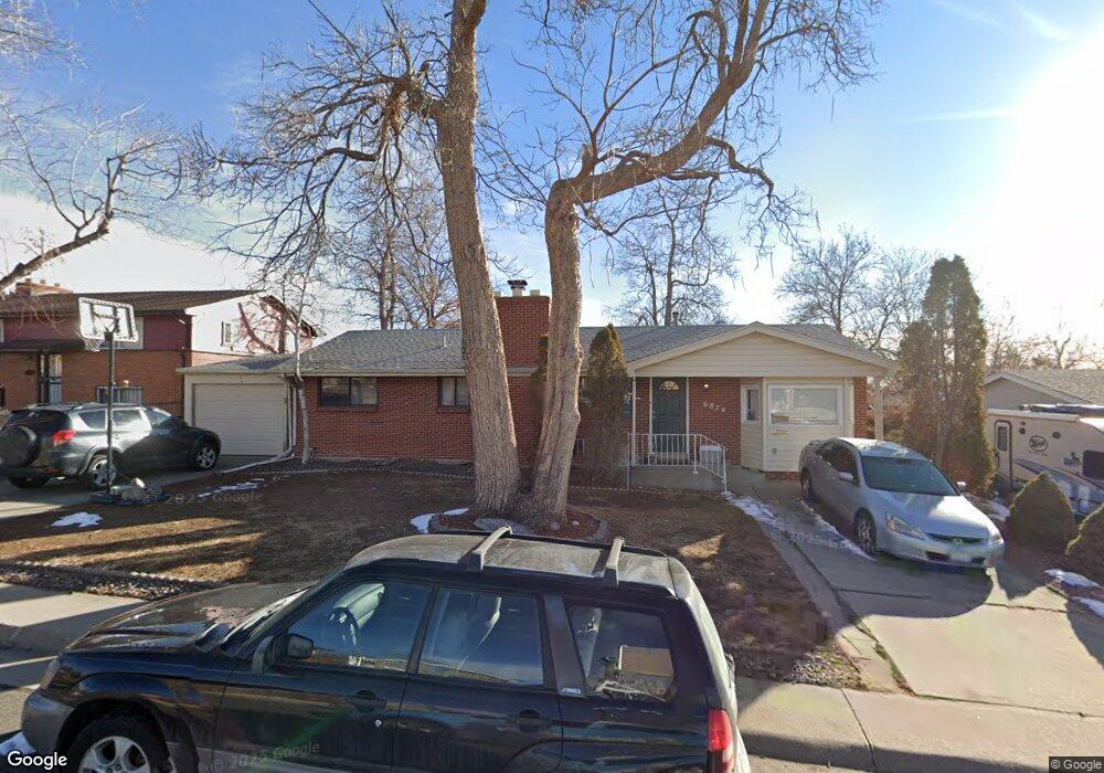
6874 Balsam St Arvada, CO 80004
Scenic Heights NeighborhoodEstimated Value: $612,000 - $631,154
4
Beds
2
Baths
2,387
Sq Ft
$260/Sq Ft
Est. Value
About This Home
This home is located at 6874 Balsam St, Arvada, CO 80004 and is currently estimated at $621,289, approximately $260 per square foot. 6874 Balsam St is a home located in Jefferson County with nearby schools including Secrest Elementary School, Peck Elementary School, and Arvada K-8.
Ownership History
Date
Name
Owned For
Owner Type
Purchase Details
Closed on
Feb 6, 2018
Sold by
Asj Llc
Bought by
Ingalls Troy
Current Estimated Value
Home Financials for this Owner
Home Financials are based on the most recent Mortgage that was taken out on this home.
Original Mortgage
$281,000
Interest Rate
3.9%
Mortgage Type
Commercial
Purchase Details
Closed on
Dec 18, 2017
Sold by
Kreutzer Francis L and Kreutzer Donald J
Bought by
Asj Llc
Home Financials for this Owner
Home Financials are based on the most recent Mortgage that was taken out on this home.
Original Mortgage
$281,000
Interest Rate
3.9%
Mortgage Type
Commercial
Purchase Details
Closed on
Oct 2, 2001
Sold by
Kreutzer Frank L and Kreutzer Dorothy J
Bought by
The Frank L Kreutzer Family Trust
Create a Home Valuation Report for This Property
The Home Valuation Report is an in-depth analysis detailing your home's value as well as a comparison with similar homes in the area
Home Values in the Area
Average Home Value in this Area
Purchase History
| Date | Buyer | Sale Price | Title Company |
|---|---|---|---|
| Ingalls Troy | $375,000 | First Integrity Title | |
| Asj Llc | $303,000 | First Integrity Title Compan | |
| The Frank L Kreutzer Family Trust | -- | -- |
Source: Public Records
Mortgage History
| Date | Status | Borrower | Loan Amount |
|---|---|---|---|
| Previous Owner | Asj Llc | $281,000 |
Source: Public Records
Tax History Compared to Growth
Tax History
| Year | Tax Paid | Tax Assessment Tax Assessment Total Assessment is a certain percentage of the fair market value that is determined by local assessors to be the total taxable value of land and additions on the property. | Land | Improvement |
|---|---|---|---|---|
| 2024 | $3,457 | $35,692 | $17,169 | $18,523 |
| 2023 | $3,462 | $35,692 | $17,169 | $18,523 |
| 2022 | $2,905 | $29,667 | $13,566 | $16,101 |
| 2021 | $2,953 | $30,521 | $13,957 | $16,564 |
| 2020 | $2,648 | $27,437 | $11,578 | $15,859 |
| 2019 | $2,612 | $27,437 | $11,578 | $15,859 |
| 2018 | $2,370 | $24,209 | $7,879 | $16,330 |
| 2017 | $1,525 | $24,209 | $7,879 | $16,330 |
| 2016 | $1,103 | $19,421 | $5,117 | $14,304 |
| 2015 | $803 | $19,421 | $5,117 | $14,304 |
| 2014 | $803 | $15,854 | $4,384 | $11,470 |
Source: Public Records
Map
Nearby Homes
- 6902 Ammons St
- 6958 Brentwood Ct
- 8090 W 68th Ave
- 6780 Allison St
- 6801 Carr St
- 8300 W 67th Ave
- 7769 W 70th Dr
- 8612 W 69th Place
- 8306 W 71st Place
- 7555 W 69th Place
- 7126 Dudley Dr
- 8571 W 71st Cir
- 6685 Upham St
- 6463 Brentwood St
- 6913 Teller Ct
- 6409 Brentwood St
- 6438 Yarrow St
- 7330 Dover St
- 7021 Saulsbury St
- 6355 Carr St
- 6884 Balsam St
- 6861 Ammons St
- 6871 Ammons St
- 6851 Ammons St
- 6854 Balsam St
- 6863 Balsam St
- 6873 Balsam St
- 6853 Balsam St
- 6841 Ammons St
- 8185 W 69th Ave
- 6843 Balsam St
- 6844 Balsam St
- 8115 W 69th Ave
- 6831 Ammons St
- 8215 W 69th Ave
- 6862 Ammons St
- 6866 Brentwood St
- 6833 Balsam St
- 6872 Ammons St
- 6914 Balsam St