Estimated Value: $510,000 - $645,000
3
Beds
2
Baths
2,974
Sq Ft
$198/Sq Ft
Est. Value
About This Home
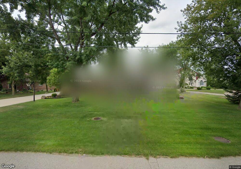
This home is located at 6875 Donaldson Dr, Troy, MI 48085 and is currently estimated at $588,263, approximately $197 per square foot. 6875 Donaldson Dr is a home located in Oakland County with nearby schools including Woodland Elementary School, Avondale Middle School, and Avondale High School.
Ownership History
Date
Name
Owned For
Owner Type
Purchase Details
Closed on
Mar 3, 2021
Sold by
Barry Michael P
Bought by
Barry Michael P and Barry Living Trust
Current Estimated Value
Purchase Details
Closed on
Jan 6, 2017
Sold by
Barry Michael P and Barry Patrice L
Bought by
Barry Michael P and Barry Patrice L
Home Financials for this Owner
Home Financials are based on the most recent Mortgage that was taken out on this home.
Original Mortgage
$510,000
Interest Rate
4.93%
Mortgage Type
Reverse Mortgage Home Equity Conversion Mortgage
Purchase Details
Closed on
May 4, 2004
Sold by
Barry Michael P
Bought by
Barry Michael P and Kiss Patrice L
Purchase Details
Closed on
Jan 6, 2000
Sold by
Barry Barbara
Bought by
Barry Michael P
Home Financials for this Owner
Home Financials are based on the most recent Mortgage that was taken out on this home.
Original Mortgage
$110,000
Interest Rate
8.22%
Create a Home Valuation Report for This Property
The Home Valuation Report is an in-depth analysis detailing your home's value as well as a comparison with similar homes in the area
Home Values in the Area
Average Home Value in this Area
Purchase History
| Date | Buyer | Sale Price | Title Company |
|---|---|---|---|
| Barry Michael P | -- | None Listed On Document | |
| Barry Michael P | -- | Fidelity Natl Title Group | |
| Barry Michael P | -- | -- | |
| Barry Michael P | -- | -- |
Source: Public Records
Mortgage History
| Date | Status | Borrower | Loan Amount |
|---|---|---|---|
| Previous Owner | Barry Michael P | $510,000 | |
| Previous Owner | Barry Michael P | $110,000 |
Source: Public Records
Tax History
| Year | Tax Paid | Tax Assessment Tax Assessment Total Assessment is a certain percentage of the fair market value that is determined by local assessors to be the total taxable value of land and additions on the property. | Land | Improvement |
|---|---|---|---|---|
| 2022 | $4,092 | $209,930 | $0 | $0 |
| 2015 | $4,462 | $161,960 | $0 | $0 |
| 2014 | -- | $122,980 | $0 | $0 |
| 2011 | -- | $110,330 | $0 | $0 |
Source: Public Records
Map
Nearby Homes
- 496 E Lovell Dr
- 396 South Blvd W
- 3845 Hazelton Ave
- 764 Red Run Dr Unit 34
- 954 Sandalwood Dr Unit 52
- 912 Sandalwood Dr
- 3788 Dearborn Ave
- 3459 Hazelton Ave
- 3970 Cone Ave
- 6622 Houghten Dr
- 6177 Livernois Rd
- 1180 Alameda Blvd Unit 75
- 1128 Alameda Blvd
- 1151 Alameda Blvd Unit 39
- 3950 Samuel Ave
- 6382 Houghten Dr
- 3175 Lexham Ln
- 3110 Raffler Dr
- 3093 Raffler Dr
- 185 Michelson Rd
- 6845 Donaldson Dr
- 6899 Donaldson Dr
- 6917 Donaldson Dr
- 6890 Donaldson Dr
- 6890 Donaldson Dr
- 6831 Donaldson Dr
- 6862 Donaldson Dr
- 6825 Donaldson Dr
- 6836 Donaldson Dr
- 755 W South Blvd
- 6880 Fieldstone Dr
- 6806 Donaldson Dr
- 6844 Fieldstone Dr
- 6826 Fieldstone Dr
- 146 Nuthatch Dr
- 729 W South Blvd
- 6800 Donaldson Dr
- 729 West S
- 729 W S
- 6938 Fieldstone Dr
Your Personal Tour Guide
Ask me questions while you tour the home.