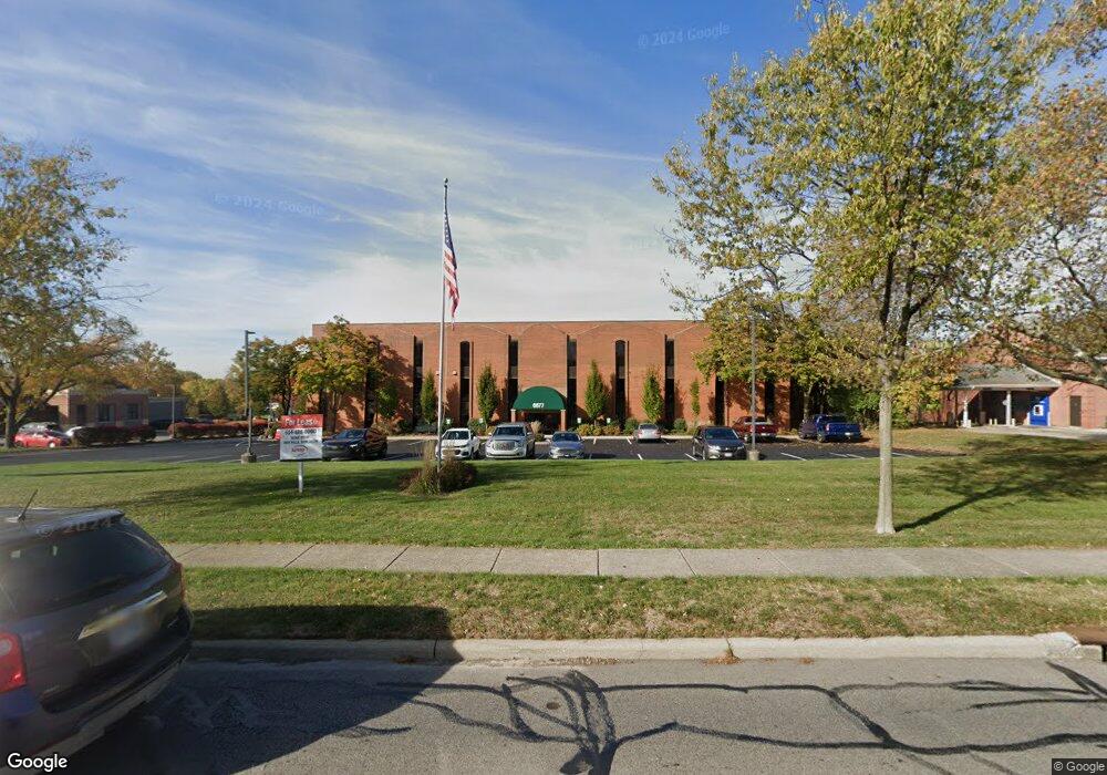
6877 N High St Worthington, OH 43085
Estimated Value: $3,921,648
--
Bed
--
Bath
28,336
Sq Ft
$138/Sq Ft
Est. Value
About This Home
This home is located at 6877 N High St, Worthington, OH 43085 and is currently estimated at $3,921,648, approximately $138 per square foot. 6877 N High St is a home located in Franklin County with nearby schools including Worthington Estates Elementary School, Worthingway Middle School, and Thomas Worthington High School.
Ownership History
Date
Name
Owned For
Owner Type
Purchase Details
Closed on
Dec 28, 2000
Sold by
Albert Delaplane Phyllis E and Albert Patricia S
Bought by
High 270 Llc
Current Estimated Value
Purchase Details
Closed on
Apr 7, 1998
Sold by
Gay Street Realty Company
Bought by
Delaplane Phyllis E and Delaplane Albert Patricia
Purchase Details
Closed on
Nov 1, 1986
Create a Home Valuation Report for This Property
The Home Valuation Report is an in-depth analysis detailing your home's value as well as a comparison with similar homes in the area
Home Values in the Area
Average Home Value in this Area
Purchase History
| Date | Buyer | Sale Price | Title Company |
|---|---|---|---|
| High 270 Llc | -- | -- | |
| Delaplane Phyllis E | $1,300,000 | -- | |
| -- | -- | -- |
Source: Public Records
Tax History Compared to Growth
Tax History
| Year | Tax Paid | Tax Assessment Tax Assessment Total Assessment is a certain percentage of the fair market value that is determined by local assessors to be the total taxable value of land and additions on the property. | Land | Improvement |
|---|---|---|---|---|
| 2024 | $44,518 | $458,510 | $301,390 | $157,120 |
| 2023 | $50,790 | $548,420 | $301,390 | $247,030 |
| 2022 | $72,186 | $662,200 | $220,990 | $441,210 |
| 2021 | $68,172 | $662,200 | $220,990 | $441,210 |
| 2020 | $66,143 | $662,200 | $220,990 | $441,210 |
| 2019 | $63,495 | $602,000 | $200,900 | $401,100 |
| 2018 | $60,735 | $602,000 | $200,900 | $401,100 |
| 2017 | $58,929 | $602,000 | $200,900 | $401,100 |
| 2016 | $59,393 | $577,500 | $200,900 | $376,600 |
| 2015 | $59,347 | $577,500 | $200,900 | $376,600 |
| 2014 | $59,320 | $577,500 | $200,900 | $376,600 |
| 2013 | $29,042 | $577,500 | $200,900 | $376,600 |
Source: Public Records
Map
Nearby Homes
- 203 Saint Pierre St
- 210 Saint Antoine St Unit 25D
- 6610 Worthington Galena Rd
- 64 Glen Dr
- 6750 Worthington Galena Rd
- 477 Olenwood Ave
- 445 Thackeray Ave
- 130 W Clearview Ave
- 463 E North St Unit D-5
- 0 Proprietors Rd Unit 225002452
- 152 E Dublin Granville Rd
- 930 Proprietors Rd
- 841 Troon Trail
- 0 Pocono Rd Unit 225030021
- 262 W South St
- 6380 Plesenton Dr
- 123 W South St
- 264 E South St
- 1041 Rosebank Dr
- 7522 Acela St
- 55 Caren Ave
- 6840 Hayhurst St
- 6850 Hayhurst St
- 6830 Hayhurst St
- 6874 Hayhurst St
- 6820 Hayhurst St
- 6888 Hayhurst St
- 130 Caren Ave
- 6810 Hayhurst St
- 71 W Wilson Bridge Rd Unit A
- 6800 Hayhurst St
- 140 Caren Ave
- 6790 Hayhurst St
- 51 Highland Ave
- 51 Highland Ave
- 6839 Hayhurst St
- 6849 Hayhurst St
- 6831 Hayhurst St
- 6859 Hayhurst St
- 7140 N High St