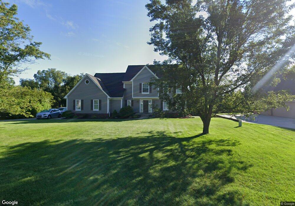
6878 Hubbard Cir Clarkston, MI 48348
Estimated Value: $554,137 - $621,000
3
Beds
3
Baths
2,544
Sq Ft
$233/Sq Ft
Est. Value
About This Home
This home is located at 6878 Hubbard Cir, Clarkston, MI 48348 and is currently estimated at $591,784, approximately $232 per square foot. 6878 Hubbard Cir is a home located in Oakland County with nearby schools including Springfield Christian Academy, Everest Academy, and Our Lady Of The Lakes Catholic School.
Ownership History
Date
Name
Owned For
Owner Type
Purchase Details
Closed on
Feb 1, 1999
Sold by
Horalek John W
Bought by
Lawson Scott
Current Estimated Value
Home Financials for this Owner
Home Financials are based on the most recent Mortgage that was taken out on this home.
Original Mortgage
$150,000
Interest Rate
6.94%
Purchase Details
Closed on
Feb 16, 1998
Sold by
Williams William P
Bought by
Horalek John W
Home Financials for this Owner
Home Financials are based on the most recent Mortgage that was taken out on this home.
Original Mortgage
$193,200
Interest Rate
7.08%
Create a Home Valuation Report for This Property
The Home Valuation Report is an in-depth analysis detailing your home's value as well as a comparison with similar homes in the area
Home Values in the Area
Average Home Value in this Area
Purchase History
| Date | Buyer | Sale Price | Title Company |
|---|---|---|---|
| Lawson Scott | $254,000 | -- | |
| Horalek John W | $241,500 | -- |
Source: Public Records
Mortgage History
| Date | Status | Borrower | Loan Amount |
|---|---|---|---|
| Previous Owner | Lawson Scott | $150,000 | |
| Previous Owner | Horalek John W | $193,200 |
Source: Public Records
Tax History Compared to Growth
Tax History
| Year | Tax Paid | Tax Assessment Tax Assessment Total Assessment is a certain percentage of the fair market value that is determined by local assessors to be the total taxable value of land and additions on the property. | Land | Improvement |
|---|---|---|---|---|
| 2024 | $3,127 | $218,000 | $52,900 | $165,100 |
| 2023 | $4,216 | $191,400 | $48,000 | $143,400 |
| 2022 | $4,216 | $183,100 | $48,000 | $135,100 |
| 2021 | $4,088 | $168,600 | $45,900 | $122,700 |
| 2020 | $2,646 | $158,500 | $36,200 | $122,300 |
| 2018 | $3,901 | $146,300 | $35,100 | $111,200 |
| 2015 | -- | $147,000 | $0 | $0 |
| 2014 | -- | $137,500 | $0 | $0 |
| 2011 | -- | $109,900 | $0 | $0 |
Source: Public Records
Map
Nearby Homes
- 00 Ortonville Rd
- 8000 Barrington Ln Unit 3
- 8449 Allen Rd
- 6644 Deer Ridge Dr
- 7680 Allen Rd
- VL Clarkston Rd
- 00 Oakhill
- 8848 Stonewall E Stonewall E
- 8291 Fawn Valley Cir
- 6556 Amy Dr
- 6845 Strawberry Ln
- 8344 Ellis Rd
- 9056 Deerwood Rd
- 7949 Bridge Valley
- 155 N Main St
- 7795 Fieldstone Ridge
- Lot 126 Deerhill Dr
- 62 Robertson Ct
- 9855 Ortonville Rd
- 17 N Holcomb Rd
- 6886 Hubbard Cir Unit 27
- 6870 Hubbard Cir
- 6753 Belmont Ct Unit 13
- 6761 Belmont Ct
- 6894 Hubbard Cir
- 6887 Hubbard Cir
- 6862 Hubbard Cir
- 6745 Belmont Ct Unit 14
- 6895 Hubbard Cir Unit 29
- 6770 Belmont Ct
- 6854 Hubbard Cir Unit 23
- 6863 Hubbard Cir
- 6737 Belmont Ct Unit Bldg-Unit
- 6737 Belmont Ct Unit 15
- 6902 Hubbard Cir
- 6871 Hubbard Cir Unit 32
- 6879 Hubbard Cir Unit 31
- 6846 Hubbard Cir
- 6855 Hubbard Cir
- 6762 Belmont Ct