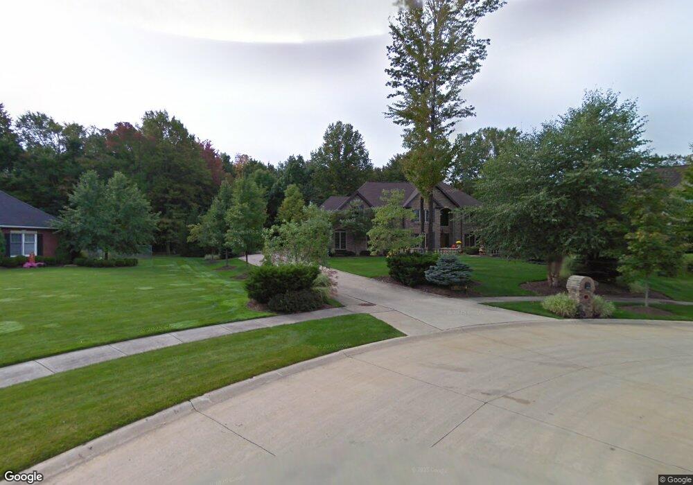
6879 Rosewood Cir Independence, OH 44131
Estimated Value: $782,000 - $900,000
4
Beds
4
Baths
4,536
Sq Ft
$181/Sq Ft
Est. Value
About This Home
This home is located at 6879 Rosewood Cir, Independence, OH 44131 and is currently estimated at $820,695, approximately $180 per square foot. 6879 Rosewood Cir is a home located in Cuyahoga County with nearby schools including Independence Primary School, Independence Middle School, and Independence High School.
Ownership History
Date
Name
Owned For
Owner Type
Purchase Details
Closed on
Feb 1, 2006
Sold by
Gervasi Lawrence A
Bought by
Gervasi Janice R
Current Estimated Value
Purchase Details
Closed on
Aug 1, 1997
Sold by
Sherwood Const Co
Bought by
Gervasi Lawrence A
Home Financials for this Owner
Home Financials are based on the most recent Mortgage that was taken out on this home.
Original Mortgage
$436,500
Interest Rate
7.71%
Mortgage Type
New Conventional
Create a Home Valuation Report for This Property
The Home Valuation Report is an in-depth analysis detailing your home's value as well as a comparison with similar homes in the area
Home Values in the Area
Average Home Value in this Area
Purchase History
| Date | Buyer | Sale Price | Title Company |
|---|---|---|---|
| Gervasi Janice R | -- | Public | |
| Gervasi Lawrence A | $485,000 | -- |
Source: Public Records
Mortgage History
| Date | Status | Borrower | Loan Amount |
|---|---|---|---|
| Previous Owner | Gervasi Lawrence A | $436,500 |
Source: Public Records
Tax History Compared to Growth
Tax History
| Year | Tax Paid | Tax Assessment Tax Assessment Total Assessment is a certain percentage of the fair market value that is determined by local assessors to be the total taxable value of land and additions on the property. | Land | Improvement |
|---|---|---|---|---|
| 2024 | $11,520 | $240,870 | $48,370 | $192,500 |
| 2023 | $11,865 | $225,440 | $36,120 | $189,320 |
| 2022 | $11,800 | $225,440 | $36,120 | $189,320 |
| 2021 | $11,629 | $225,440 | $36,120 | $189,320 |
| 2020 | $11,370 | $206,820 | $33,150 | $173,670 |
| 2019 | $10,975 | $590,900 | $94,700 | $496,200 |
| 2018 | $11,259 | $206,820 | $33,150 | $173,670 |
| 2017 | $11,680 | $210,220 | $39,870 | $170,350 |
| 2016 | $11,562 | $210,220 | $39,870 | $170,350 |
| 2015 | $10,696 | $210,220 | $39,870 | $170,350 |
| 2014 | $10,696 | $194,640 | $36,930 | $157,710 |
Source: Public Records
Map
Nearby Homes
- 6208 Dora Blvd
- 7004 Filip Blvd
- 7160 Brecksville Rd
- 7426 Stone Rd
- 0 Brecksville Rd
- 6835 E Pleasant Valley Rd
- 6312 E Pleasant Valley Rd
- 6882 Linden Ln
- 5108 Great Oaks Pkwy
- 8420 Stone Rd
- VL TBB Laura Lee Ln
- VL Laura Lee Ln
- 6564 Oakwood Dr
- 6300 Brecksville Rd
- 0 Daisy Blvd
- 2900 Parmalee Dr
- 2703 Pasadena Dr
- 7454 S Cricket Ln
- 8223 Montello Rd
- 6650 Parkgate Oval
- 6870 Rosewood Cir
- 6855 Rosewood Cir
- 6850 Rosewood Cir
- 6507 Archwood Rd
- 6500 Archwood Rd
- 6880 Hunting Ln
- 6424 Archwood Rd
- 6830 Rosewood Cir
- 6835 Rosewood Cir
- 6418 Archwood Rd
- 6407 Archwood Rd
- 6860 Hunting Ln
- 6890 Hunting Ln
- 6511 Elmarge Dr
- 6420 Acres Dr
- 6412 Archwood Rd
- 6515 Elmarge Dr
- 6419 Elmarge Dr
- 6406 Archwood Rd
- 6840 Hunting Ln