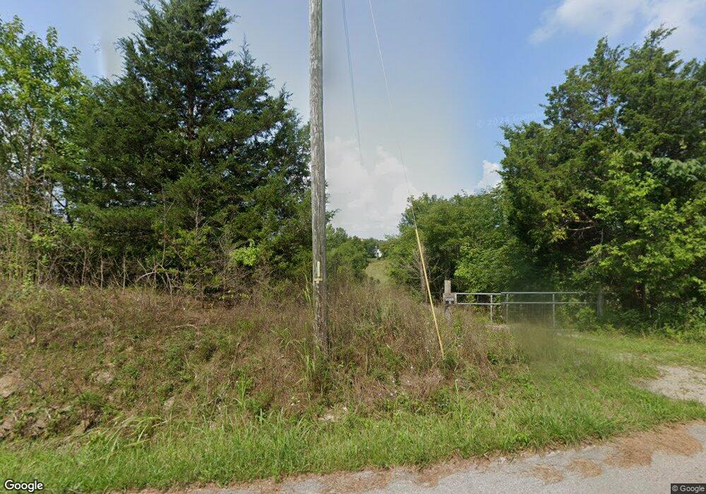
688 Cap Bottom Ln Harrodsburg, KY 40330
Estimated Value: $88,000 - $628,297
6
Beds
3
Baths
2,340
Sq Ft
$153/Sq Ft
Est. Value
About This Home
This home is located at 688 Cap Bottom Ln, Harrodsburg, KY 40330 and is currently estimated at $358,074, approximately $153 per square foot. 688 Cap Bottom Ln is a home located in Mercer County with nearby schools including Mercer County Elementary School, Mercer County Intermediate School, and King Middle School.
Ownership History
Date
Name
Owned For
Owner Type
Purchase Details
Closed on
Nov 11, 2021
Sold by
L & B Builders Llc
Bought by
Murphy Ronald Shawn and Murphy Tammy Sims
Current Estimated Value
Purchase Details
Closed on
Nov 10, 2021
Sold by
Knecht Donald E Johnson and Knecht Marianne Johnson
Bought by
Murphy Ronald Shawn and Murphy Tammy S
Purchase Details
Closed on
May 19, 2016
Sold by
Murphy Ronald Shawn and Murphy Tammy S
Bought by
Releford Anthony D and Releford Amanda J
Home Financials for this Owner
Home Financials are based on the most recent Mortgage that was taken out on this home.
Original Mortgage
$216,015
Interest Rate
3.62%
Mortgage Type
FHA
Purchase Details
Closed on
Jul 2, 2010
Sold by
Mayo David Leon and Mayo Mary K
Bought by
Murphy Ronald Shawn and Murphy Tammy S
Purchase Details
Closed on
Jan 6, 2010
Sold by
Farmers National Bank Of Danville
Bought by
Murphy Shawn and Murphy Ronald Shawn
Create a Home Valuation Report for This Property
The Home Valuation Report is an in-depth analysis detailing your home's value as well as a comparison with similar homes in the area
Home Values in the Area
Average Home Value in this Area
Purchase History
| Date | Buyer | Sale Price | Title Company |
|---|---|---|---|
| Murphy Ronald Shawn | $18,000 | None Available | |
| Murphy Ronald Shawn | $2,500 | None Available | |
| Releford Anthony D | $220,200 | None Available | |
| Murphy Ronald Shawn | $28,410 | -- | |
| Murphy Shawn | $249,500 | -- |
Source: Public Records
Mortgage History
| Date | Status | Borrower | Loan Amount |
|---|---|---|---|
| Previous Owner | Releford Anthony D | $216,015 |
Source: Public Records
Tax History Compared to Growth
Tax History
| Year | Tax Paid | Tax Assessment Tax Assessment Total Assessment is a certain percentage of the fair market value that is determined by local assessors to be the total taxable value of land and additions on the property. | Land | Improvement |
|---|---|---|---|---|
| 2024 | $243 | $20,310 | $4,470 | $15,840 |
| 2023 | $245 | $20,310 | $0 | $0 |
| 2022 | $240 | $20,310 | $0 | $0 |
| 2021 | $471 | $39,645 | $0 | $0 |
| 2020 | $469 | $39,645 | $23,805 | $15,840 |
| 2019 | $477 | $39,645 | $23,805 | $15,840 |
| 2018 | $466 | $39,645 | $0 | $0 |
| 2017 | $450 | $39,645 | $0 | $0 |
| 2016 | $2,723 | $244,465 | $0 | $0 |
| 2015 | $2,647 | $244,465 | $16,000 | $228,465 |
| 2014 | $2,647 | $244,465 | $0 | $0 |
| 2010 | -- | $226,375 | $13,750 | $212,625 |
Source: Public Records
Map
Nearby Homes
- 315 Devine Rd
- 245 Kays Rd
- 0 E Fork Rd
- 2050-B E Fork Rd
- 2050-D E Fork Rd
- 2050-A E Fork Rd
- 2050 E Fork Rd
- 2050-C E Fork Rd
- 265 Kays Rd
- 1092 Bushtown Rd
- 271 Boswell Ln
- 5351 Battle Rd
- 5298 Battle Rd
- 1100 Old Dixville Rd
- 274 Wesley-Miller Ln
- 9915 Cornishville Rd
- 986 Martin Ln
- 399 Harlow Ln
- 1138 Windy Way Ln
- 200 Rose Hill Ln
- 620 Cap Bottom Ln
- 745 Cap Bottom Ln
- 660 Cap Bottom Ln
- 480 Cap Bottom Ln
- 520 Logue Rd
- 0 Cap Bottom Ln
- 1 Cap Bottom Ln
- 384 Cap Bottom Ln
- 4115 MacKville Rd
- 510 Logue Rd
- 8240 MacKville Rd
- 8240 MacKville Rd
- Tract 1 Logue Rd
- 0 Logue Rd
- 135 Bradley Ln
- 290 Bradley Ln
- 3407 MacKville Rd
- 405 Cap Bottom Ln
- 152 Bradley Ln
- 1845 Brewers Mill Rd
