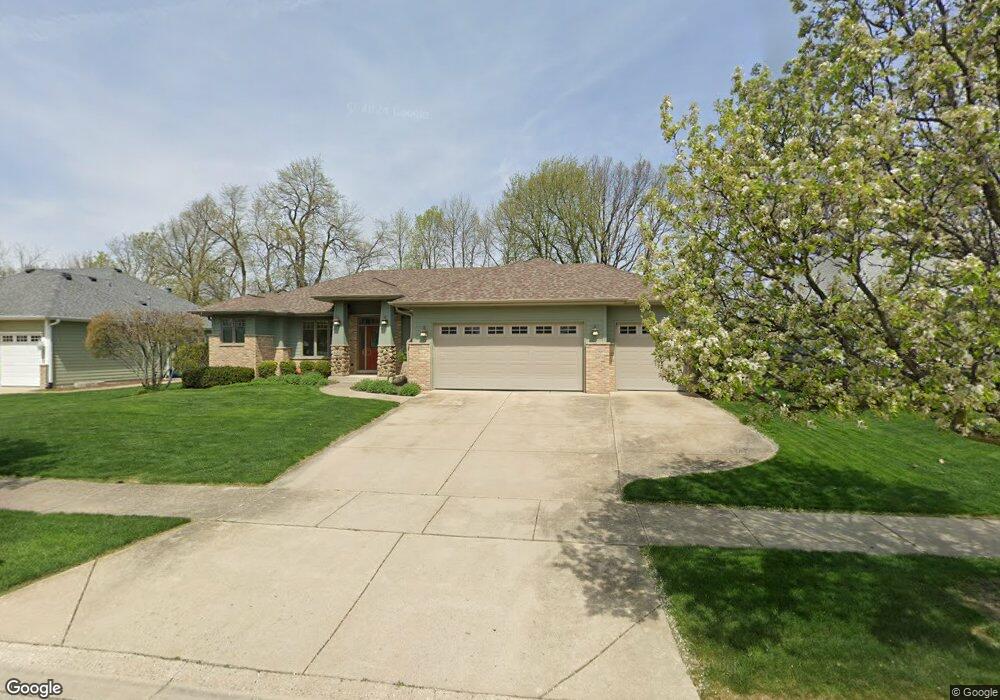
688 Friar Dr Aurora, IL 60505
Indian Creek NeighborhoodEstimated Value: $426,000 - $509,000
3
Beds
2
Baths
2,053
Sq Ft
$222/Sq Ft
Est. Value
About This Home
This home is located at 688 Friar Dr, Aurora, IL 60505 and is currently estimated at $456,150, approximately $222 per square foot. 688 Friar Dr is a home located in Kane County with nearby schools including Nicholas A Hermes Elementary School, Simmons Middle School, and East Aurora High School.
Ownership History
Date
Name
Owned For
Owner Type
Purchase Details
Closed on
Oct 3, 2005
Sold by
Twin Builders Inc
Bought by
Thorpe Daniel and Thorpe Dana
Current Estimated Value
Home Financials for this Owner
Home Financials are based on the most recent Mortgage that was taken out on this home.
Original Mortgage
$281,000
Outstanding Balance
$150,972
Interest Rate
5.82%
Mortgage Type
Fannie Mae Freddie Mac
Estimated Equity
$305,178
Create a Home Valuation Report for This Property
The Home Valuation Report is an in-depth analysis detailing your home's value as well as a comparison with similar homes in the area
Home Values in the Area
Average Home Value in this Area
Purchase History
| Date | Buyer | Sale Price | Title Company |
|---|---|---|---|
| Thorpe Daniel | $351,500 | Chicago Title Insurance Comp |
Source: Public Records
Mortgage History
| Date | Status | Borrower | Loan Amount |
|---|---|---|---|
| Open | Thorpe Daniel | $281,000 |
Source: Public Records
Tax History
| Year | Tax Paid | Tax Assessment Tax Assessment Total Assessment is a certain percentage of the fair market value that is determined by local assessors to be the total taxable value of land and additions on the property. | Land | Improvement |
|---|---|---|---|---|
| 2024 | $8,550 | $132,719 | $19,757 | $112,962 |
| 2023 | $8,264 | $118,584 | $17,653 | $100,931 |
| 2022 | $7,765 | $108,197 | $16,107 | $92,090 |
| 2021 | $7,648 | $100,733 | $14,996 | $85,737 |
| 2020 | $8,387 | $106,852 | $13,929 | $92,923 |
| 2019 | $8,195 | $99,002 | $12,906 | $86,096 |
| 2018 | $8,214 | $96,207 | $11,938 | $84,269 |
| 2017 | $9,059 | $98,376 | $14,762 | $83,614 |
| 2016 | $9,471 | $96,003 | $12,654 | $83,349 |
| 2015 | -- | $84,536 | $10,881 | $73,655 |
| 2014 | -- | $81,304 | $10,465 | $70,839 |
| 2013 | -- | $81,177 | $10,316 | $70,861 |
Source: Public Records
Map
Nearby Homes
- 1923 Schomer Ct
- 440 Woodlyn Dr
- 341 Woodlyn Dr Unit 3
- 1567 Galway Dr
- 1826 N Farnsworth Ave
- 769 Chesterfield Ln
- 1220 Mitchell Rd
- 1751 Gary Ave
- 446 Chesterfield Ln Unit 2
- 1942 Tall Oaks Dr Unit 3B
- Lot 1 Reckinger Rd
- 1009 Assell Ave
- 304 Hankes Ave
- 0000 N Farnsworth Ave
- 2315 Nan St
- 320 Sussex Ln
- 3020 Abbey Cir
- 3075 Mesa Ln
- Marianne Plan at Abbey Meadows - Traditional Townhomes
- Amherst Plan at Abbey Meadows - Urban Townhomes