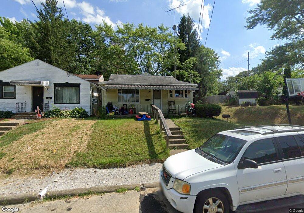
688 Mcgrath St Alliance, OH 44601
Estimated Value: $50,000 - $101,000
2
Beds
1
Bath
1,000
Sq Ft
$80/Sq Ft
Est. Value
About This Home
This home is located at 688 Mcgrath St, Alliance, OH 44601 and is currently estimated at $80,333, approximately $80 per square foot. 688 Mcgrath St is a home located in Stark County with nearby schools including Alliance Early Learning School, Alliance Intermediate School at Northside, and Alliance Middle School.
Ownership History
Date
Name
Owned For
Owner Type
Purchase Details
Closed on
Aug 6, 2021
Sold by
Kale Gregory M and Kale Brenda S
Bought by
Skyworks Ltd
Current Estimated Value
Home Financials for this Owner
Home Financials are based on the most recent Mortgage that was taken out on this home.
Original Mortgage
$40,000
Outstanding Balance
$36,427
Interest Rate
3%
Mortgage Type
Purchase Money Mortgage
Estimated Equity
$43,906
Purchase Details
Closed on
Jul 27, 2011
Sold by
Burrier Cynthia L
Bought by
Kale Gregory M and Kale Brenda S
Purchase Details
Closed on
Jan 15, 2009
Sold by
Burrier Gary L
Bought by
Burrier Cynthia L
Create a Home Valuation Report for This Property
The Home Valuation Report is an in-depth analysis detailing your home's value as well as a comparison with similar homes in the area
Home Values in the Area
Average Home Value in this Area
Purchase History
| Date | Buyer | Sale Price | Title Company |
|---|---|---|---|
| Skyworks Ltd | $35,000 | None Available | |
| Kale Gregory M | -- | Attorney | |
| Burrier Cynthia L | -- | Attorney |
Source: Public Records
Mortgage History
| Date | Status | Borrower | Loan Amount |
|---|---|---|---|
| Open | Skyworks Ltd | $40,000 |
Source: Public Records
Tax History
| Year | Tax Paid | Tax Assessment Tax Assessment Total Assessment is a certain percentage of the fair market value that is determined by local assessors to be the total taxable value of land and additions on the property. | Land | Improvement |
|---|---|---|---|---|
| 2025 | -- | $15,190 | $5,110 | $10,080 |
| 2024 | -- | $15,190 | $5,110 | $10,080 |
| 2023 | $504 | $12,250 | $4,760 | $7,490 |
| 2022 | $508 | $12,250 | $4,760 | $7,490 |
| 2021 | $647 | $15,580 | $4,760 | $10,820 |
| 2020 | $590 | $13,270 | $4,130 | $9,140 |
| 2019 | $582 | $13,270 | $4,130 | $9,140 |
Source: Public Records
Map
Nearby Homes
- 870 Parkway Blvd
- 535 S Mckinley Ave
- 479 W High St
- 228 W Oxford St
- 1050 Parkway Blvd
- 970 Kingsway St
- 203 Glamorgan St
- 664 Fairview Place
- 1136 Parkway Blvd
- 1030 Sunset Dr
- 118 S Mckinley Ave
- 807 S Union Ave
- 160 Bonnieview Ave
- 264 W Market St
- 427 S Union Ave
- 0 E Oxford St
- 46 Rosenberry St
- 163 W Market St
- 1176 Parkside Dr
- 720 Vincent Blvd
- 758 S Rockhill Ave
- 748 S Rockhill Ave
- 670 Mcgrath St
- 736 S Rockhill Ave
- 689 Mcgrath St
- 681 Mcgrath St
- 661 Mcgrath St
- 728 S Rockhill Ave
- 820 S Rockhill Ave
- 650 Mcgrath St
- 747 S Rockhill Ave
- 718 S Rockhill Ave
- 830 S Rockhill Ave
- 688 W Summit St
- 680 W Summit St
- 645 Mcgrath St
- 636 Mcgrath St
- 670 W Summit St
- 767 S Rockhill Ave
- 757 S Rockhill Ave
Your Personal Tour Guide
Ask me questions while you tour the home.