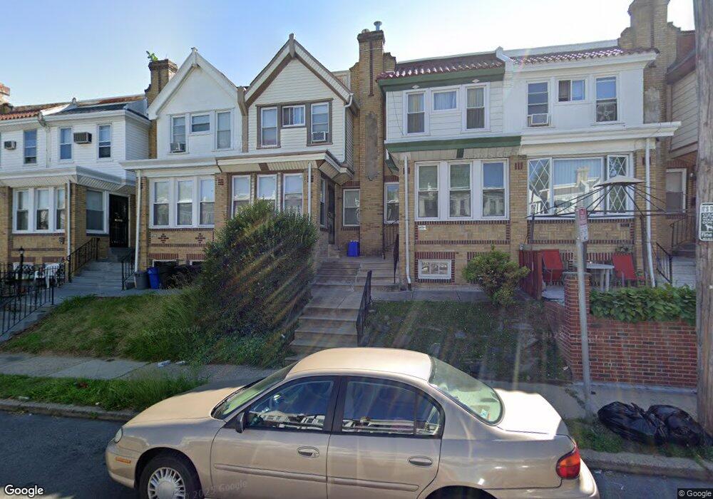
6880 Forrest Ave Philadelphia, PA 19138
West Oak Lane NeighborhoodEstimated Value: $191,772 - $208,000
3
Beds
1
Bath
1,182
Sq Ft
$167/Sq Ft
Est. Value
About This Home
This home is located at 6880 Forrest Ave, Philadelphia, PA 19138 and is currently estimated at $197,193, approximately $166 per square foot. 6880 Forrest Ave is a home located in Philadelphia County with nearby schools including William Rowen School, Gen. Louis Wagner Middle School, and Martin Luther King High School.
Ownership History
Date
Name
Owned For
Owner Type
Purchase Details
Closed on
Nov 21, 2003
Sold by
Ogontz Avenue Revitalization Corp
Bought by
Taylor Stephanie
Current Estimated Value
Home Financials for this Owner
Home Financials are based on the most recent Mortgage that was taken out on this home.
Original Mortgage
$78,350
Outstanding Balance
$35,934
Interest Rate
5.96%
Mortgage Type
FHA
Estimated Equity
$161,259
Purchase Details
Closed on
Oct 30, 2001
Sold by
Hud
Bought by
Ogontz Avenue Revitalization Corp
Purchase Details
Closed on
Jun 1, 2000
Sold by
Wells Fargo Home Mtg Inc
Bought by
Hud
Create a Home Valuation Report for This Property
The Home Valuation Report is an in-depth analysis detailing your home's value as well as a comparison with similar homes in the area
Home Values in the Area
Average Home Value in this Area
Purchase History
| Date | Buyer | Sale Price | Title Company |
|---|---|---|---|
| Taylor Stephanie | $79,000 | -- | |
| Ogontz Avenue Revitalization Corp | $23,101 | -- | |
| Hud | -- | -- |
Source: Public Records
Mortgage History
| Date | Status | Borrower | Loan Amount |
|---|---|---|---|
| Open | Taylor Stephanie | $78,350 |
Source: Public Records
Tax History Compared to Growth
Tax History
| Year | Tax Paid | Tax Assessment Tax Assessment Total Assessment is a certain percentage of the fair market value that is determined by local assessors to be the total taxable value of land and additions on the property. | Land | Improvement |
|---|---|---|---|---|
| 2026 | $1,972 | $168,300 | $33,660 | $134,640 |
| 2025 | $1,972 | $168,300 | $33,660 | $134,640 |
| 2024 | $1,972 | $168,300 | $33,660 | $134,640 |
| 2023 | $1,972 | $140,900 | $28,180 | $112,720 |
| 2022 | $865 | $95,900 | $28,180 | $67,720 |
| 2021 | $1,495 | $0 | $0 | $0 |
| 2020 | $1,495 | $0 | $0 | $0 |
| 2019 | $1,561 | $0 | $0 | $0 |
| 2018 | $1,363 | $0 | $0 | $0 |
| 2017 | $1,363 | $0 | $0 | $0 |
| 2016 | $943 | $0 | $0 | $0 |
| 2015 | $844 | $0 | $0 | $0 |
| 2014 | -- | $93,000 | $7,200 | $85,800 |
| 2012 | -- | $10,976 | $1,826 | $9,150 |
Source: Public Records
Map
Nearby Homes
- 6869 Forrest Ave
- 6838 Ogontz Ave
- 6905 Forrest Ave
- 6908 Ogontz Ave
- 6732 Ogontz Ave
- 6944 Cedar Park Ave
- 1934 69th Ave
- 2056 Eastburn Ave
- 6733 N Woodstock St
- 6731 N Woodstock St
- 7001 Limekiln Pike
- 6642 N 20th St
- 2070 E Haines St
- 1729 68th Ave
- 7016 Andrews Ave
- 1816 67th Ave
- 2061 Independence St
- 6625 Ogontz Ave
- 1720 68th Ave
- 1733 67th Ave
- 6882 Forrest Ave
- 6878 Forrest Ave
- 6884 Forrest Ave
- 6876 Forrest Ave
- 6886 Forrest Ave
- 6874 Forrest Ave
- 6888 Forrest Ave
- 6872 Forrest Ave
- 6870 Forrest Ave
- 6868 Forrest Ave
- 6866 Forrest Ave
- 6864 Forrest Ave
- 6893 Forrest Ave
- 6891 Forrest Ave
- 6887 Forrest Ave
- 6862 Forrest Ave
- 6889 Forrest Ave
- 6895 Forrest Ave
- 6885 Forrest Ave
- 6897 Forrest Ave