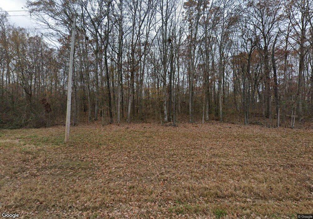
6881 Highway W Poplar Bluff, MO 63901
Estimated Value: $307,000 - $402,000
--
Bed
--
Bath
3,783
Sq Ft
$91/Sq Ft
Est. Value
About This Home
This home is located at 6881 Highway W, Poplar Bluff, MO 63901 and is currently estimated at $345,330, approximately $91 per square foot. 6881 Highway W is a home with nearby schools including O'Neal Elementary School, Poplar Bluff Fifth & Sixth Grade Center, and Poplar Bluff Junior High School.
Ownership History
Date
Name
Owned For
Owner Type
Purchase Details
Closed on
Apr 13, 2018
Sold by
Haga Michael D and Haga Sandra K
Bought by
Gross Michael R and Gross Michelle M
Current Estimated Value
Home Financials for this Owner
Home Financials are based on the most recent Mortgage that was taken out on this home.
Original Mortgage
$110,000
Outstanding Balance
$64,636
Interest Rate
4.43%
Mortgage Type
Purchase Money Mortgage
Estimated Equity
$280,694
Purchase Details
Closed on
Dec 19, 2005
Sold by
Smith Louus D and Smith Louis Dale
Bought by
Gross Michael and Gross Michelle
Create a Home Valuation Report for This Property
The Home Valuation Report is an in-depth analysis detailing your home's value as well as a comparison with similar homes in the area
Home Values in the Area
Average Home Value in this Area
Purchase History
| Date | Buyer | Sale Price | Title Company |
|---|---|---|---|
| Gross Michael R | -- | None Available | |
| Gross Michael | -- | -- |
Source: Public Records
Mortgage History
| Date | Status | Borrower | Loan Amount |
|---|---|---|---|
| Open | Gross Michael R | $110,000 |
Source: Public Records
Tax History Compared to Growth
Tax History
| Year | Tax Paid | Tax Assessment Tax Assessment Total Assessment is a certain percentage of the fair market value that is determined by local assessors to be the total taxable value of land and additions on the property. | Land | Improvement |
|---|---|---|---|---|
| 2024 | $21 | $47,390 | $0 | $0 |
| 2023 | $2,111 | $47,390 | $0 | $0 |
| 2022 | $2,037 | $45,840 | $0 | $0 |
| 2021 | $2,038 | $45,840 | $0 | $0 |
| 2020 | $1,962 | $43,450 | $0 | $0 |
| 2019 | $1,893 | $41,970 | $0 | $0 |
| 2018 | $1,893 | $41,970 | $0 | $0 |
| 2017 | -- | $41,970 | $0 | $0 |
| 2016 | -- | $41,970 | $0 | $0 |
| 2015 | -- | $41,970 | $0 | $0 |
| 2014 | -- | $39,150 | $0 | $0 |
| 2012 | $1,477 | $39,150 | $0 | $0 |
Source: Public Records
Map
Nearby Homes
- 90 Kyle Ln
- 5544 State Route W
- 3546 County Road 543
- 291 Deer Run Acres A
- 288 Deer Run Acres A
- 342 Deer Run Acres A
- 000 County Road 530
- 108 Mayson Ln
- 291 Highway O
- 992 Highway O
- 729 County Road 543
- 188 Rolla Ln
- 183 Rhinestone Ln
- 0 County Road 526 Unit MIS25048539
- 294 County Road 505
- 725 County Road 526
- 1 Woodland Heights W
- 16 Woodland Heights W
- 15 Woodland Heights W
- 14 Woodland Heights W
- 6925 Highway W
- 6709 Highway W
- 6992 W Hwy
- 6992 Highway W
- 6901 Missouri W
- 196 County Road 533
- 6453 Highway W
- 295 County Road 533
- 698 County Road 537
- 71 County Road 533
- 7135 Highway W
- 6359 Highway W
- 6608 Highway W
- 108 Rodeo Ln
- 161 County Road 533
- 181 County Road 533
- 46 Raintree Ln
- 47 Kyle Ln
- 213 Rodeo Ln
- 6281 Highway W
