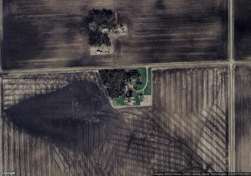
68817 370th St Saint James, MN 56081
Estimated Value: $135,000 - $182,000
2
Beds
2
Baths
210
Sq Ft
$735/Sq Ft
Est. Value
About This Home
This home is located at 68817 370th St, Saint James, MN 56081 and is currently estimated at $154,307, approximately $734 per square foot. 68817 370th St is a home located in Watonwan County with nearby schools including Armstrong School, Northside Elementary School, and St. James High School.
Create a Home Valuation Report for This Property
The Home Valuation Report is an in-depth analysis detailing your home's value as well as a comparison with similar homes in the area
Tax History
| Year | Tax Paid | Tax Assessment Tax Assessment Total Assessment is a certain percentage of the fair market value that is determined by local assessors to be the total taxable value of land and additions on the property. | Land | Improvement |
|---|---|---|---|---|
| 2025 | $794 | $134,600 | $75,600 | $59,000 |
| 2024 | $782 | $125,800 | $75,600 | $50,200 |
| 2023 | $818 | $121,400 | $75,600 | $45,800 |
| 2022 | $562 | $110,100 | $75,600 | $34,500 |
| 2021 | $546 | $71,800 | $44,600 | $27,200 |
| 2020 | $518 | $72,000 | $44,600 | $27,400 |
| 2019 | $548 | $69,600 | $44,200 | $25,400 |
| 2018 | $528 | $69,600 | $44,200 | $25,400 |
| 2016 | $490 | $68,100 | $44,200 | $23,900 |
| 2014 | -- | $74,100 | $30,400 | $43,700 |
Source: Public Records
Map
Nearby Homes
- 37026 710th Ave
- 37026 710th Ave
- 0 650th Ave at Co Rd 105 Unit NOC6334889
- 916 5th St S
- 1023 Armstrong Blvd S
- 920 Armstrong Blvd S
- 509 9th Ave S
- 1025 7th St S
- 1007 Westwood Dr
- 702 9th Ave S
- 1023 8th St S
- 1000 9th St S
- 0 Highway 4
- 147 5th St
- 525 Elwell Ave
- S Third St Unit TBD Third St S
- 718 6th St N Unit 718 N Sixth Street
- 718 6th St N
- 308 11th Ave N
- 900 10th St S
Your Personal Tour Guide
Ask me questions while you tour the home.