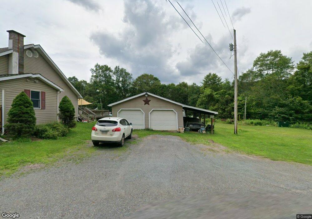
6883 Route 154 Unit LR291 Forksville, PA 18616
Estimated Value: $197,000 - $261,000
2
Beds
1
Bath
1,870
Sq Ft
$122/Sq Ft
Est. Value
About This Home
This home is located at 6883 Route 154 Unit LR291, Forksville, PA 18616 and is currently estimated at $228,707, approximately $122 per square foot. 6883 Route 154 Unit LR291 is a home located in Sullivan County with nearby schools including Sullivan County Elementary School and Sullivan County High School.
Ownership History
Date
Name
Owned For
Owner Type
Purchase Details
Closed on
Dec 20, 2021
Sold by
Smith Thomas M and Smith Deborah M
Bought by
Moreland Michael J
Current Estimated Value
Home Financials for this Owner
Home Financials are based on the most recent Mortgage that was taken out on this home.
Original Mortgage
$174,600
Outstanding Balance
$160,543
Interest Rate
3.09%
Mortgage Type
New Conventional
Estimated Equity
$68,164
Create a Home Valuation Report for This Property
The Home Valuation Report is an in-depth analysis detailing your home's value as well as a comparison with similar homes in the area
Home Values in the Area
Average Home Value in this Area
Purchase History
| Date | Buyer | Sale Price | Title Company |
|---|---|---|---|
| Moreland Michael J | $180,000 | None Available |
Source: Public Records
Mortgage History
| Date | Status | Borrower | Loan Amount |
|---|---|---|---|
| Open | Moreland Michael J | $174,600 |
Source: Public Records
Tax History Compared to Growth
Tax History
| Year | Tax Paid | Tax Assessment Tax Assessment Total Assessment is a certain percentage of the fair market value that is determined by local assessors to be the total taxable value of land and additions on the property. | Land | Improvement |
|---|---|---|---|---|
| 2025 | $1,871 | $88,400 | $14,600 | $73,800 |
| 2024 | $1,803 | $88,400 | $14,600 | $73,800 |
| 2023 | $1,710 | $88,400 | $14,600 | $73,800 |
| 2022 | $491 | $88,400 | $14,600 | $73,800 |
| 2021 | $483 | $87,100 | $14,600 | $72,500 |
| 2020 | $1,623 | $87,100 | $14,600 | $72,500 |
| 2019 | $1,590 | $87,100 | $14,600 | $72,500 |
| 2017 | $1,564 | $87,100 | $14,600 | $72,500 |
| 2015 | $890 | $87,100 | $14,600 | $72,500 |
| 2014 | $890 | $87,100 | $14,600 | $72,500 |
| 2012 | $890 | $87,100 | $14,600 | $72,500 |
Source: Public Records
Map
Nearby Homes
- 43 Tall Maples Rd
- 0 Route 4008 Unit LotWp001 19733217
- 0 Route 4008 Unit 11264997
- 484 Hill Rd
- 596 Route 4008
- 0001 Pennsylvania 87 Unit LOT 25
- 4 Huckle St
- 6765 Route 87
- 363 Hatch Rd Unit 422
- 151 Rinella Rd
- 18 Middle Rd
- 11079 Ellenton Mountain Rd
- 371 North St
- 11645 Pleasant Stream Rd
- 344 Tompkins Rd
- 114 Glory Ridge Rd
- 1162 Mock Run Rd
- 426 Schrader Creek Rd
- 194 Schrader Creek Rd
- Lot 24 Cavanaugh Rd
- 6875 Route 154
- 6862 Route 154
- 7043 Route 154
- 7079 Route 154
- 7082 Route 154 Unit LR610
- 6790 Route 154
- 6790 Pennsylvania 154
- 6793 Route 154
- 7084 Route 154
- 46 Kobbe Rd Unit T426
- 2505 Elk Creek Rd
- 4001 Elk Creek Rd
- 6780 Route 154 Unit LR291
- 6754 Route 154
- 6728 Route 154
- 53 McCarty Ridge Rd
- 96 Atkins Ln
- 24 Morgan Ln
- 6684 Route 154
- 19 Cummings Ln Unit T424