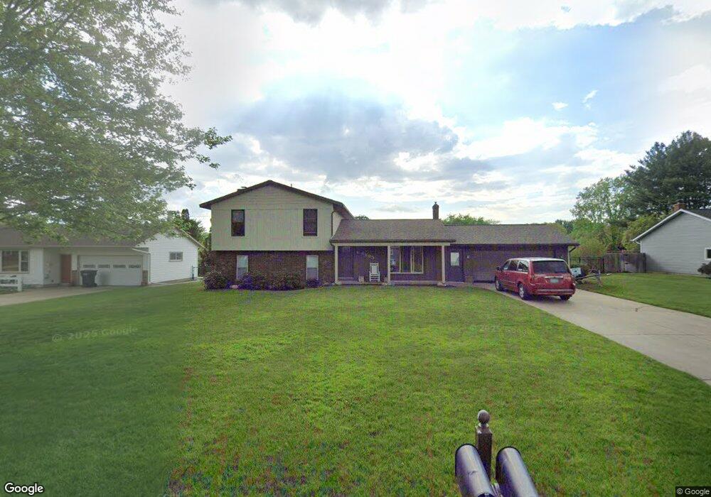
6885 Kay Boer Dr Jenison, MI 49428
Estimated Value: $353,000 - $424,000
4
Beds
2
Baths
1,890
Sq Ft
$206/Sq Ft
Est. Value
About This Home
This home is located at 6885 Kay Boer Dr, Jenison, MI 49428 and is currently estimated at $389,703, approximately $206 per square foot. 6885 Kay Boer Dr is a home located in Ottawa County with nearby schools including Bursley School, Jenison Junior High School, and Jenison High School.
Ownership History
Date
Name
Owned For
Owner Type
Purchase Details
Closed on
Jul 15, 2016
Sold by
Breaux Mary L
Bought by
Degoede Brad A and Degoede Lindsey
Current Estimated Value
Home Financials for this Owner
Home Financials are based on the most recent Mortgage that was taken out on this home.
Original Mortgage
$139,555
Outstanding Balance
$63,339
Interest Rate
3.6%
Mortgage Type
New Conventional
Estimated Equity
$326,364
Purchase Details
Closed on
Jan 28, 2003
Sold by
Breaux Mary L
Bought by
Breaux Mary L
Create a Home Valuation Report for This Property
The Home Valuation Report is an in-depth analysis detailing your home's value as well as a comparison with similar homes in the area
Home Values in the Area
Average Home Value in this Area
Purchase History
| Date | Buyer | Sale Price | Title Company |
|---|---|---|---|
| Degoede Brad A | $146,900 | Chicago Title | |
| Breaux Mary L | -- | None Available |
Source: Public Records
Mortgage History
| Date | Status | Borrower | Loan Amount |
|---|---|---|---|
| Open | Degoede Brad A | $139,555 |
Source: Public Records
Tax History Compared to Growth
Tax History
| Year | Tax Paid | Tax Assessment Tax Assessment Total Assessment is a certain percentage of the fair market value that is determined by local assessors to be the total taxable value of land and additions on the property. | Land | Improvement |
|---|---|---|---|---|
| 2025 | $3,400 | $178,200 | $0 | $0 |
| 2024 | $2,950 | $178,100 | $0 | $0 |
| 2023 | $2,817 | $172,100 | $0 | $0 |
| 2022 | $3,092 | $135,900 | $0 | $0 |
| 2021 | $2,923 | $125,300 | $0 | $0 |
| 2020 | $2,848 | $113,200 | $0 | $0 |
| 2019 | $2,768 | $101,800 | $0 | $0 |
| 2018 | $2,523 | $93,100 | $0 | $0 |
| 2017 | $2,499 | $92,100 | $0 | $0 |
| 2016 | $2,137 | $83,200 | $0 | $0 |
| 2015 | $2,040 | $78,700 | $0 | $0 |
| 2014 | $2,040 | $78,800 | $0 | $0 |
Source: Public Records
Map
Nearby Homes
- 2101 Rosewood St
- 7107 Westwood Dr
- 7165 Keystone Ct
- 2200 Rosewood St
- 2194 Oak Hollow Dr
- 7314 Pinegrove Dr
- 2159 Tyler St
- 2323 Rosewood St
- 7373 Pinegrove Dr Unit 109
- 7342 Cherry Ave
- 6363 Eastridge Ct
- 7444 Pinegrove Dr Unit 59
- 7461 Pinegrove Dr Unit 29
- 1433 Winifred St
- 1643 Laramy Ln
- 7502 22nd Ave
- 1361 Carol Dr
- 1241 S Marymark Dr
- 7490 N Garden Ct
- 1306 Carol Dr
- 6901 Kay Boer Dr
- 6869 Kay Boer Dr
- 6886 Glenview Ave
- 6868 Glenview Ave
- 6900 Glenview Ave
- 6853 Kay Boer Dr
- 6898 Kay Boer Dr
- 6921 Kay Boer Dr
- 1896 Ridgeview St
- 6856 Glenview Ave
- 6864 Kay Boer Dr
- 6910 Kay Boer Dr
- 6920 Glenview Ave
- 6848 Kay Boer Dr
- 6835 Kay Boer Dr
- 1889 Richard St
- 6928 Kay Boer Dr
- 6840 Glenview Ave
- 6887 Glenview Ave
- 6871 Glenview Ave