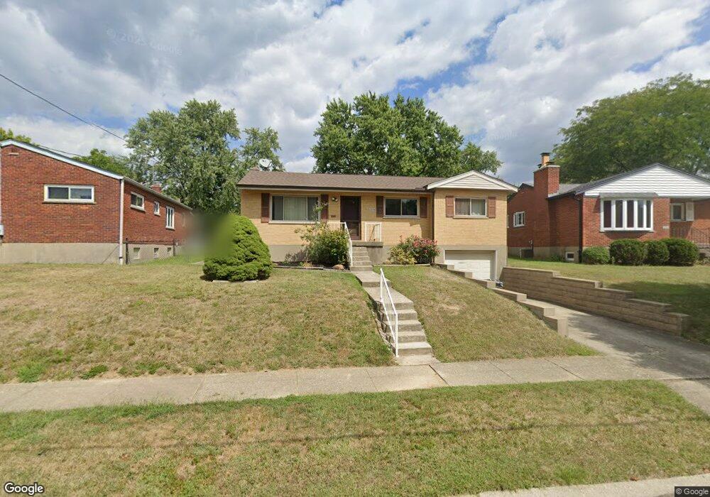
6886 Edmar Ct Cincinnati, OH 45239
Estimated Value: $192,000 - $205,017
3
Beds
2
Baths
1,534
Sq Ft
$131/Sq Ft
Est. Value
About This Home
This home is located at 6886 Edmar Ct, Cincinnati, OH 45239 and is currently estimated at $200,504, approximately $130 per square foot. 6886 Edmar Ct is a home located in Hamilton County with nearby schools including North College Hill Elementary School, North College Hill Middle School, and North College Hill High School.
Ownership History
Date
Name
Owned For
Owner Type
Purchase Details
Closed on
Mar 2, 1998
Sold by
Harper William L
Bought by
Mcglasson Jay R
Current Estimated Value
Home Financials for this Owner
Home Financials are based on the most recent Mortgage that was taken out on this home.
Original Mortgage
$87,800
Outstanding Balance
$16,147
Interest Rate
7.08%
Mortgage Type
FHA
Estimated Equity
$184,357
Create a Home Valuation Report for This Property
The Home Valuation Report is an in-depth analysis detailing your home's value as well as a comparison with similar homes in the area
Home Values in the Area
Average Home Value in this Area
Purchase History
| Date | Buyer | Sale Price | Title Company |
|---|---|---|---|
| Mcglasson Jay R | $87,900 | -- |
Source: Public Records
Mortgage History
| Date | Status | Borrower | Loan Amount |
|---|---|---|---|
| Open | Mcglasson Jay R | $87,800 |
Source: Public Records
Tax History Compared to Growth
Tax History
| Year | Tax Paid | Tax Assessment Tax Assessment Total Assessment is a certain percentage of the fair market value that is determined by local assessors to be the total taxable value of land and additions on the property. | Land | Improvement |
|---|---|---|---|---|
| 2024 | $2,922 | $50,663 | $10,472 | $40,191 |
| 2023 | $2,722 | $50,663 | $10,472 | $40,191 |
| 2022 | $2,564 | $34,822 | $8,827 | $25,995 |
| 2021 | $2,554 | $34,822 | $8,827 | $25,995 |
| 2020 | $2,523 | $34,822 | $8,827 | $25,995 |
| 2019 | $2,278 | $29,509 | $7,480 | $22,029 |
| 2018 | $2,277 | $29,509 | $7,480 | $22,029 |
| 2017 | $2,182 | $29,509 | $7,480 | $22,029 |
| 2016 | $2,126 | $28,203 | $7,378 | $20,825 |
| 2015 | $2,105 | $28,203 | $7,378 | $20,825 |
| 2014 | $2,100 | $28,203 | $7,378 | $20,825 |
| 2013 | $2,321 | $32,418 | $8,481 | $23,937 |
Source: Public Records
Map
Nearby Homes
- 2268 Deblin Dr
- 2342 Banning Rd
- 2021 Catalpa Ave
- 2424 Banning Rd
- 2412 Amelia Ct
- 2125 Mckinley Ave
- 6505 Simpson Ave
- 6292 Simpson Ave
- 1948 Catalpa Ave
- 2029 Sundale Ave
- 1945 Emerson Ave
- 1938 Cordova Ave
- 2347 Golf Dr
- 2481 Crosley Meadow
- 2538 Byrneside Dr
- 2390 Golf Dr
- 1917 Emerson Ave
- 2045 1st Ave
- 2146 W North Bend Rd
- 2142 W North Bend Rd
- 6878 Edmar Ct
- 6892 Kenbyrne Ct
- 2267 Deblin Dr
- 6868 Edmar Ct
- 6898 Kenbyrne Ct
- 2265 Deblin Dr
- 6885 Golfway Dr
- 6858 Edmar Ct
- 6841 Golfway Dr
- 2263 Deblin Dr
- 6881 Edmar Ct
- 6870 Kenbyrne Ct
- 6899 Kenbyrne Ct
- 6869 Edmar Ct
- 6891 Kenbyrne Ct
- 6817 Golfway Dr
- 6881 Kenbyrne Ct
- 6850 Edmar Ct
- 6909 Golfway Dr
- 6859 Edmar Ct