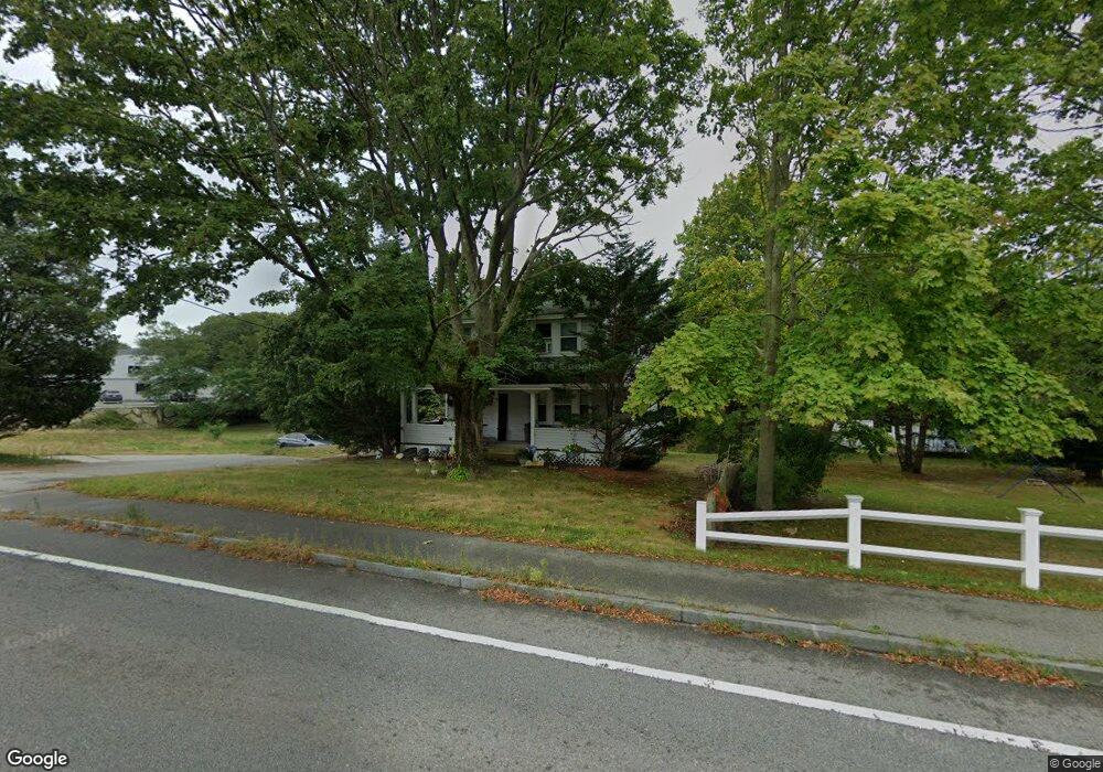
689 E Falmouth Hwy Unit 1-3 East Falmouth, MA 02536
Estimated Value: $520,000 - $780,000
6
Beds
3
Baths
1,800
Sq Ft
$374/Sq Ft
Est. Value
About This Home
This home is located at 689 E Falmouth Hwy Unit 1-3, East Falmouth, MA 02536 and is currently estimated at $673,221, approximately $374 per square foot. 689 E Falmouth Hwy Unit 1-3 is a home located in Barnstable County with nearby schools including East Falmouth Elementary School, Morse Pond School, and Lawrence School.
Ownership History
Date
Name
Owned For
Owner Type
Purchase Details
Closed on
Dec 4, 2020
Sold by
Gariepy Lynne J
Bought by
Maclone Daniel C
Current Estimated Value
Home Financials for this Owner
Home Financials are based on the most recent Mortgage that was taken out on this home.
Original Mortgage
$337,500
Outstanding Balance
$301,011
Interest Rate
2.8%
Mortgage Type
New Conventional
Estimated Equity
$372,210
Purchase Details
Closed on
Aug 23, 2002
Sold by
Barrett Joseph R and Barrett Anne H
Bought by
Corson Lynne
Create a Home Valuation Report for This Property
The Home Valuation Report is an in-depth analysis detailing your home's value as well as a comparison with similar homes in the area
Home Values in the Area
Average Home Value in this Area
Purchase History
| Date | Buyer | Sale Price | Title Company |
|---|---|---|---|
| Maclone Daniel C | $450,000 | None Available | |
| Maclone Daniel C | $450,000 | None Available | |
| Corson Lynne | $249,900 | -- | |
| Corson Lynne | $249,900 | -- |
Source: Public Records
Mortgage History
| Date | Status | Borrower | Loan Amount |
|---|---|---|---|
| Open | Maclone Daniel C | $337,500 | |
| Closed | Maclone Daniel C | $337,500 | |
| Previous Owner | Corson Lynne | $150,000 |
Source: Public Records
Tax History Compared to Growth
Tax History
| Year | Tax Paid | Tax Assessment Tax Assessment Total Assessment is a certain percentage of the fair market value that is determined by local assessors to be the total taxable value of land and additions on the property. | Land | Improvement |
|---|---|---|---|---|
| 2025 | $3,032 | $516,500 | $173,400 | $343,100 |
| 2024 | $2,911 | $463,500 | $156,900 | $306,600 |
| 2023 | $2,834 | $409,600 | $156,900 | $252,700 |
| 2022 | $2,741 | $340,500 | $98,700 | $241,800 |
| 2021 | $2,399 | $282,200 | $94,400 | $187,800 |
| 2020 | $2,351 | $273,700 | $85,900 | $187,800 |
| 2019 | $2,289 | $267,400 | $85,900 | $181,500 |
| 2018 | $2,129 | $247,600 | $85,900 | $161,700 |
| 2017 | $2,052 | $240,600 | $85,900 | $154,700 |
| 2016 | $2,014 | $240,600 | $85,900 | $154,700 |
| 2015 | $1,971 | $240,600 | $85,900 | $154,700 |
| 2014 | $2,027 | $248,700 | $90,200 | $158,500 |
Source: Public Records
Map
Nearby Homes
- 689 E Falmouth Hwy
- 689 E Falmouth Hwy Unit 3
- 1 E Falmouth Hwy
- 947 E Falmouth Hwy
- 701 E Falmouth Hwy
- 679 E Falmouth Hwy
- 680 E Falmouth Hwy
- 669 E Falmouth Hwy
- 710 E Falmouth Hwy
- 25 Ennsbrook Dr
- 19 Ennsbrook Dr
- 31 Ennsbrook Dr
- 657 E Falmouth Hwy
- 670 E Falmouth Hwy
- 37 Ennsbrook Dr
- 15 Ennsbrook Dr
- 5 Timothy Bourne Cartway
- 0 Ennsbrook Dr
- 8 Timothy Bourne Cartway
- 15 Old Menauhant Rd