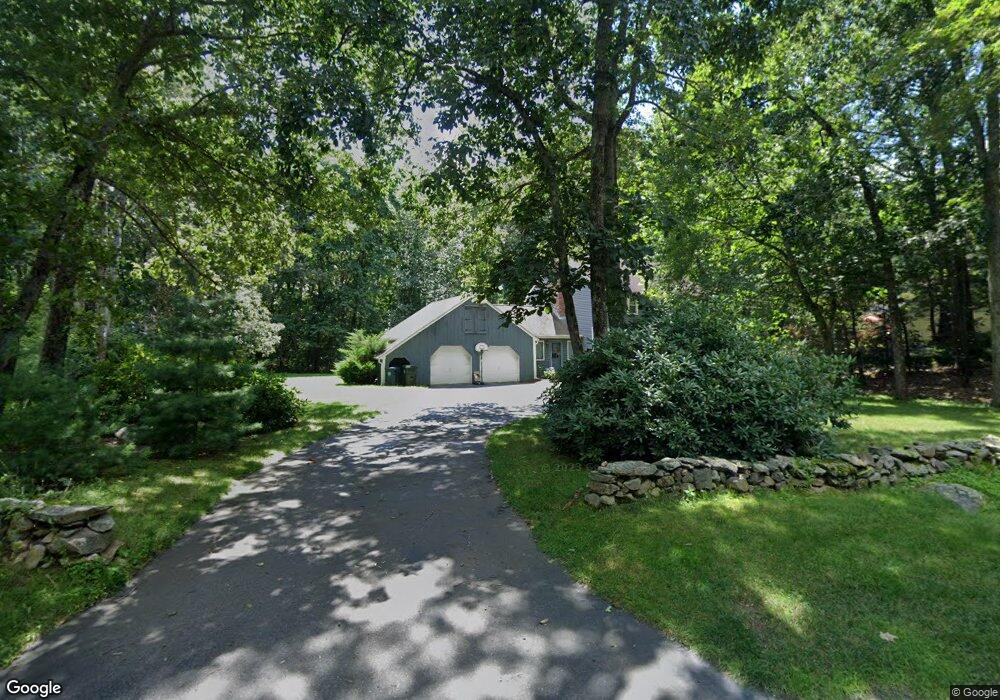
689 Hemenway St Unit 1 Marlborough, MA 01752
Estimated Value: $730,514 - $913,000
3
Beds
3
Baths
1,944
Sq Ft
$423/Sq Ft
Est. Value
About This Home
This home is located at 689 Hemenway St Unit 1, Marlborough, MA 01752 and is currently estimated at $821,879, approximately $422 per square foot. 689 Hemenway St Unit 1 is a home located in Middlesex County with nearby schools including Marlborough High School, New Covenant Christian School, and Glenhaven Academy - JRI School.
Ownership History
Date
Name
Owned For
Owner Type
Purchase Details
Closed on
Aug 19, 2009
Sold by
Bagdon Robert P
Bought by
Zolnik Daniel B
Current Estimated Value
Home Financials for this Owner
Home Financials are based on the most recent Mortgage that was taken out on this home.
Original Mortgage
$231,975
Outstanding Balance
$151,095
Interest Rate
5.19%
Mortgage Type
Purchase Money Mortgage
Estimated Equity
$670,784
Create a Home Valuation Report for This Property
The Home Valuation Report is an in-depth analysis detailing your home's value as well as a comparison with similar homes in the area
Home Values in the Area
Average Home Value in this Area
Purchase History
| Date | Buyer | Sale Price | Title Company |
|---|---|---|---|
| Zolnik Daniel B | $421,975 | -- |
Source: Public Records
Mortgage History
| Date | Status | Borrower | Loan Amount |
|---|---|---|---|
| Open | Zolnik Daniel B | $231,975 |
Source: Public Records
Tax History Compared to Growth
Tax History
| Year | Tax Paid | Tax Assessment Tax Assessment Total Assessment is a certain percentage of the fair market value that is determined by local assessors to be the total taxable value of land and additions on the property. | Land | Improvement |
|---|---|---|---|---|
| 2025 | $6,697 | $679,200 | $239,600 | $439,600 |
| 2024 | $6,458 | $630,700 | $217,800 | $412,900 |
| 2023 | $7,054 | $611,300 | $188,600 | $422,700 |
| 2022 | $6,850 | $522,100 | $179,900 | $342,200 |
| 2021 | $19,272 | $483,100 | $150,300 | $332,800 |
| 2020 | $17,853 | $462,000 | $143,300 | $318,700 |
| 2019 | $15,044 | $449,900 | $140,700 | $309,200 |
| 2018 | $14,155 | $433,000 | $129,800 | $303,200 |
| 2017 | $6,174 | $403,000 | $132,000 | $271,000 |
| 2016 | $5,960 | $388,500 | $132,000 | $256,500 |
| 2015 | $6,033 | $382,800 | $135,600 | $247,200 |
Source: Public Records
Map
Nearby Homes
- 168 Blanchette Dr
- 551 Sudbury St
- 618 Sudbury St
- 3 Stonehill Rd
- 28 Stetson Dr
- 16 Minehan Ln
- 17 Mcneil Cir
- 38 Collins Dr
- 1 Red Oak Dr
- 492 Stow Rd
- 114 Linda Cir
- 688 Boston Post Rd E Unit 202
- 688 Boston Post Rd E Unit 304
- 688 Boston Post Rd E Unit 100
- 688 Boston Post Rd E Unit 324
- 688 Boston Post Rd E Unit 228
- 274 Naugler Ave
- 33A Russo Dr
- 624 Boston Post Rd E Unit 7
- 608 Boston Post Rd E Unit 11
- 689 Hemenway St
- 669 Hemenway St
- 699 Hemenway St
- 17 Draper Cir
- 29 Draper Cir
- 651 Hemenway St
- 664 Hemenway St
- 25 Hamilton Cir
- 29 Belmore Place
- 16 Draper Cir
- 33 Hamilton Cir
- 45 Belmore Place
- 31 Draper Cir
- 644 Hemenway St
- 22 Belmore Place
- 639 Hemenway St
- 735 Hemenway St
- 35 Draper Cir
- 32 Draper Cir
- 45 Hamilton Cir