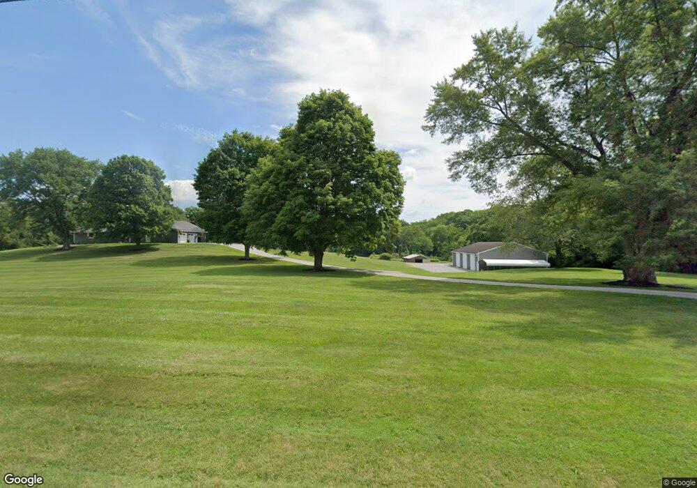
689 Koogle Rd Mansfield, OH 44903
Estimated Value: $376,000 - $421,044
3
Beds
3
Baths
2,442
Sq Ft
$162/Sq Ft
Est. Value
About This Home
This home is located at 689 Koogle Rd, Mansfield, OH 44903 and is currently estimated at $395,011, approximately $161 per square foot. 689 Koogle Rd is a home located in Richland County with nearby schools including Madison High School, St. Mary Catholic School, and Temple-Christian School.
Ownership History
Date
Name
Owned For
Owner Type
Purchase Details
Closed on
May 17, 2019
Sold by
The Sturgeon Preservation Trust
Bought by
Sauder Jerred P
Current Estimated Value
Home Financials for this Owner
Home Financials are based on the most recent Mortgage that was taken out on this home.
Original Mortgage
$224,000
Outstanding Balance
$196,137
Interest Rate
4%
Mortgage Type
New Conventional
Estimated Equity
$198,874
Purchase Details
Closed on
Aug 1, 2018
Sold by
Sturgeon Jack E and Sturgeon Norma K
Bought by
Molyneux Renee L and The Sturgeon Preservation Trus
Purchase Details
Closed on
Jan 1, 1985
Create a Home Valuation Report for This Property
The Home Valuation Report is an in-depth analysis detailing your home's value as well as a comparison with similar homes in the area
Home Values in the Area
Average Home Value in this Area
Purchase History
| Date | Buyer | Sale Price | Title Company |
|---|---|---|---|
| Sauder Jerred P | $280,000 | Chicago Title | |
| Molyneux Renee L | -- | None Available | |
| -- | $80,000 | -- |
Source: Public Records
Mortgage History
| Date | Status | Borrower | Loan Amount |
|---|---|---|---|
| Open | Sauder Jerred P | $224,000 |
Source: Public Records
Tax History Compared to Growth
Tax History
| Year | Tax Paid | Tax Assessment Tax Assessment Total Assessment is a certain percentage of the fair market value that is determined by local assessors to be the total taxable value of land and additions on the property. | Land | Improvement |
|---|---|---|---|---|
| 2024 | $3,677 | $87,060 | $27,090 | $59,970 |
| 2023 | $3,677 | $96,810 | $27,090 | $69,720 |
| 2022 | $4,160 | $87,060 | $21,060 | $66,000 |
| 2021 | $3,480 | $74,690 | $21,060 | $53,630 |
| 2020 | $3,368 | $72,160 | $21,060 | $51,100 |
| 2019 | $3,268 | $61,710 | $17,700 | $44,010 |
| 2018 | $2,728 | $61,710 | $17,700 | $44,010 |
| 2017 | $2,677 | $61,710 | $17,700 | $44,010 |
| 2016 | $2,773 | $55,370 | $11,810 | $43,560 |
| 2015 | $2,773 | $55,370 | $11,810 | $43,560 |
| 2014 | $2,718 | $55,370 | $11,810 | $43,560 |
| 2012 | $1,227 | $58,280 | $12,430 | $45,850 |
Source: Public Records
Map
Nearby Homes
- 2750 Lutz Ave
- 0 Satinwood Dr
- 630 Impala Dr
- 598 Impala Dr
- 2270 Lakecrest Dr Unit 2272
- 0 Peterson Rd
- 19 Maine St
- 0 McBride Road Parcel # 1 Unit 9066028
- 609 Mcbride Rd
- 640 Running Brook Way
- 2307 Peterson Rd
- 1183 County Road 30a
- 1767 State Route 603
- 1910 Crider Rd
- 1997 Hout Rd
- 1951 Woodmont Rd
- 1806 Richard Dr
- 2202 Lakewood Dr
- 76 Ford Rd N
- 76 Ford Rd N Unit 20