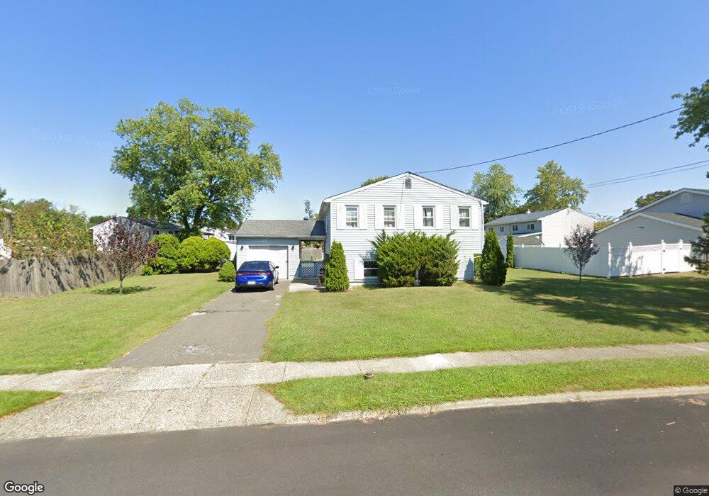
689 Lancing Rd West Deptford, NJ 08096
West Deptford Township NeighborhoodEstimated Value: $284,401 - $417,000
--
Bed
--
Bath
1,920
Sq Ft
$192/Sq Ft
Est. Value
About This Home
This home is located at 689 Lancing Rd, West Deptford, NJ 08096 and is currently estimated at $369,100, approximately $192 per square foot. 689 Lancing Rd is a home located in Gloucester County with nearby schools including Oakview Elementary School, Red Bank Elementary School, and Green-Fields Elementary School.
Ownership History
Date
Name
Owned For
Owner Type
Purchase Details
Closed on
Oct 21, 1994
Sold by
Cloud Garry K and Cloud Donna M
Bought by
Conover Robert H and Conover Susan W
Current Estimated Value
Create a Home Valuation Report for This Property
The Home Valuation Report is an in-depth analysis detailing your home's value as well as a comparison with similar homes in the area
Home Values in the Area
Average Home Value in this Area
Purchase History
| Date | Buyer | Sale Price | Title Company |
|---|---|---|---|
| Conover Robert H | $113,000 | Franklin Title Agency Inc |
Source: Public Records
Tax History Compared to Growth
Tax History
| Year | Tax Paid | Tax Assessment Tax Assessment Total Assessment is a certain percentage of the fair market value that is determined by local assessors to be the total taxable value of land and additions on the property. | Land | Improvement |
|---|---|---|---|---|
| 2025 | $6,345 | $181,700 | $54,100 | $127,600 |
| 2024 | $6,263 | $181,700 | $54,100 | $127,600 |
| 2023 | $6,263 | $181,700 | $54,100 | $127,600 |
| 2022 | $6,234 | $181,700 | $54,100 | $127,600 |
| 2021 | $6,212 | $181,700 | $54,100 | $127,600 |
| 2020 | $6,198 | $181,700 | $54,100 | $127,600 |
| 2019 | $6,025 | $181,700 | $54,100 | $127,600 |
| 2018 | $5,862 | $181,700 | $54,100 | $127,600 |
| 2017 | $5,725 | $181,700 | $54,100 | $127,600 |
| 2016 | $5,565 | $181,700 | $54,100 | $127,600 |
| 2015 | $5,392 | $184,800 | $57,200 | $127,600 |
| 2014 | $5,125 | $184,800 | $57,200 | $127,600 |
Source: Public Records
Map
Nearby Homes
- 112 N Drexel St
- 2 Victorian Way
- 3 Victorian Way
- 7 Victorian Way
- 83 Lynn Dr
- 46 Lynn Dr
- 21 S Columbia St
- 266 Passaic Ave
- 302 W Red Bank Ave
- 195 Delaware St
- 125 S Davis St
- 210 Lawnton Ave
- 34 S Jackson St
- 340 High St
- 654 Frances Ave
- 1676 Miller Ave
- 193 Dubois Ave
- 1448 Victory Ave
- 107 Audubon Ave
- 1156 Hessian Ave
- 302 Meadowcroft Rd
- 697 Lancing Rd
- 707 Sterling Rd
- 310 Meadowcroft Rd
- 711 Sterling Rd
- 688 Lancing Rd
- 682 Lancing Rd
- 694 Lancing Rd
- 698 Lancing Rd
- 667 Lancing Rd
- 326 Meadowcroft Rd
- 717 Sterling Rd
- 703 Lancing Rd
- 305 Meadowcroft Rd
- 716 Sterling Rd
- 311 Meadowcroft Rd
- 702 Lancing Rd
- 668 Lancing Rd
- 319 Meadowcroft Rd
- 334 Meadowcroft Rd