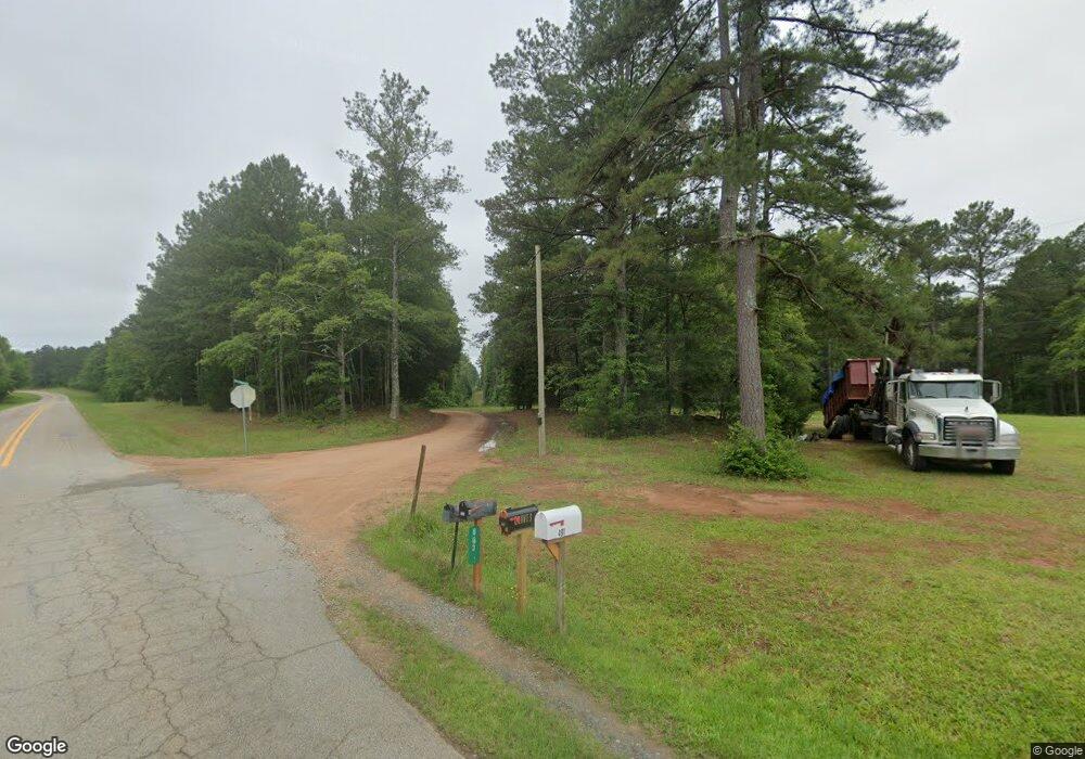
689 Maynards Mill Rd Forsyth, GA 31029
Estimated Value: $335,000 - $438,000
--
Bed
2
Baths
2,210
Sq Ft
$168/Sq Ft
Est. Value
About This Home
This home is located at 689 Maynards Mill Rd, Forsyth, GA 31029 and is currently estimated at $372,323, approximately $168 per square foot. 689 Maynards Mill Rd is a home located in Monroe County with nearby schools including Samuel E. Hubbard Elementary School and Mary Persons High School.
Ownership History
Date
Name
Owned For
Owner Type
Purchase Details
Closed on
Apr 7, 2023
Sold by
Graves Lynda Kay Tingle
Bought by
Bell Megan Leann
Current Estimated Value
Purchase Details
Closed on
Jun 6, 1994
Bought by
Graves Lynda K Tingle
Create a Home Valuation Report for This Property
The Home Valuation Report is an in-depth analysis detailing your home's value as well as a comparison with similar homes in the area
Home Values in the Area
Average Home Value in this Area
Purchase History
| Date | Buyer | Sale Price | Title Company |
|---|---|---|---|
| Bell Megan Leann | -- | -- | |
| Graves Lynda K Tingle | -- | -- |
Source: Public Records
Tax History Compared to Growth
Tax History
| Year | Tax Paid | Tax Assessment Tax Assessment Total Assessment is a certain percentage of the fair market value that is determined by local assessors to be the total taxable value of land and additions on the property. | Land | Improvement |
|---|---|---|---|---|
| 2024 | $851 | $100,672 | $52,320 | $48,352 |
| 2023 | $129 | $106,512 | $66,000 | $40,512 |
| 2022 | $604 | $106,512 | $66,000 | $40,512 |
| 2021 | $618 | $106,512 | $66,000 | $40,512 |
| 2020 | $584 | $104,072 | $63,560 | $40,512 |
| 2019 | $578 | $104,072 | $63,560 | $40,512 |
| 2018 | $571 | $104,072 | $63,560 | $40,512 |
| 2017 | $3,025 | $104,072 | $63,560 | $40,512 |
| 2016 | $525 | $104,072 | $63,560 | $40,512 |
| 2015 | $490 | $104,072 | $63,560 | $40,512 |
| 2014 | $972 | $104,072 | $63,560 | $40,512 |
Source: Public Records
Map
Nearby Homes
- 0 S Tingle Rd
- 3319 Highway 42 S
- 293 AC Hopewell Rd
- 0 Hopewell Rd Unit 24477788
- 2088 Georgia 42
- 1395 Josey Rd
- 1774 Maynards Mill Rd
- 0 Old Zebulon Rd Unit 25091896
- 0 Old Zebulon Rd Unit 25062362
- 0 Old Zebulon Rd Unit 25091897
- 0 Montpelier Springs Rd Unit 13 M162038
- 0 Montpelier Springs Rd Unit 10 M162036
- 106 Creekside Ct
- 14 Creekside Ct
- 14 Creekside Ct
- LOT 13 Creekside Ln
- 1721 Old Zebulon Rd
- 656 Dolly Dr
- Lot 26-A-1 Creekside Trail
- Lot 27-A-1 Creekside Trail
- 689 Maynards Mill Rd
- 566 Maynards Mill Rd
- TBD S Tingle Rd
- 828 Rd
- 457 Maynards Mill Rd
- 651 Maynards Mill Rd
- 376 Maynards Mill Rd
- 0 Maynards Mill Rd Unit Parcel 8-C 169792
- 0 Maynards Mill Rd Unit Parcel 7 169791
- 0 Maynards Mill Rd Unit Parcel 8-B 169790
- 0 Maynards Mill Rd Unit Parcel 8-C M169792
- 0 Maynards Mill Rd Unit Parcel 7 M169791
- 0 Maynards Mill Rd Unit Parcel 8-B M169790
- 0 Maynards Mill Rd Unit M169014
- 0 Maynards Mill Rd Unit 20062650
- 0 Maynards Mill Rd Unit 80 7417794
- 0 Maynards Mill Rd Unit 7106558
- 0 Maynards Mill Rd Unit 7123106
- 0 Maynards Mill Rd Unit 7147018
- 191 Texan Ln
