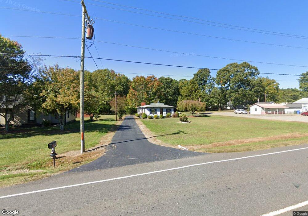
689 N Main St Troutman, NC 28166
Estimated Value: $198,018 - $375,000
2
Beds
1
Bath
904
Sq Ft
$316/Sq Ft
Est. Value
About This Home
This home is located at 689 N Main St, Troutman, NC 28166 and is currently estimated at $286,005, approximately $316 per square foot. 689 N Main St is a home located in Iredell County with nearby schools including Troutman Elementary School, Troutman Middle School, and South Iredell High School.
Ownership History
Date
Name
Owned For
Owner Type
Purchase Details
Closed on
Jun 15, 1999
Sold by
Phillips John P and Phillips Louise A
Bought by
Phillips Robin Dean
Current Estimated Value
Home Financials for this Owner
Home Financials are based on the most recent Mortgage that was taken out on this home.
Original Mortgage
$68,000
Outstanding Balance
$17,919
Interest Rate
7.04%
Estimated Equity
$268,086
Purchase Details
Closed on
Jun 1, 1957
Create a Home Valuation Report for This Property
The Home Valuation Report is an in-depth analysis detailing your home's value as well as a comparison with similar homes in the area
Home Values in the Area
Average Home Value in this Area
Purchase History
| Date | Buyer | Sale Price | Title Company |
|---|---|---|---|
| Phillips Robin Dean | -- | -- | |
| -- | -- | -- |
Source: Public Records
Mortgage History
| Date | Status | Borrower | Loan Amount |
|---|---|---|---|
| Open | Phillips Robin Dean | $68,000 |
Source: Public Records
Tax History Compared to Growth
Tax History
| Year | Tax Paid | Tax Assessment Tax Assessment Total Assessment is a certain percentage of the fair market value that is determined by local assessors to be the total taxable value of land and additions on the property. | Land | Improvement |
|---|---|---|---|---|
| 2024 | $1,854 | $163,100 | $153,920 | $9,180 |
| 2023 | $1,854 | $163,100 | $153,920 | $9,180 |
| 2022 | $1,571 | $130,550 | $123,140 | $7,410 |
| 2021 | $1,554 | $130,550 | $123,140 | $7,410 |
| 2020 | $1,554 | $130,550 | $123,140 | $7,410 |
| 2019 | $1,521 | $130,550 | $123,140 | $7,410 |
| 2018 | $1,520 | $131,390 | $123,140 | $8,250 |
| 2017 | $1,520 | $131,390 | $123,140 | $8,250 |
| 2016 | $1,520 | $131,390 | $123,140 | $8,250 |
| 2015 | $1,455 | $131,390 | $123,140 | $8,250 |
| 2014 | $1,427 | $134,820 | $123,140 | $11,680 |
Source: Public Records
Map
Nearby Homes
- 148 Barium Ln
- 105 Summer Breeze Ct
- 000 Murdock Rd
- 00 Zion Wesley Rd
- 00 Moose Club Rd
- 134 Iredell Ave
- 0 Bradburn St Unit CAR4310045
- 183 Pine Haven Rd
- 242 North Ave
- 210 Johnson St
- 156 Brooks St
- 114 Sandypark Ct
- 112 Sandypark Ct
- 113 Sandypark Ct
- 111 Sandypark Ct
- 433 Old Mountain Rd
- 104 Sandypark Ct
- 144 Jacobs Hill Place
- 154 Tanner Loop
- 101 Rills Crossing Way