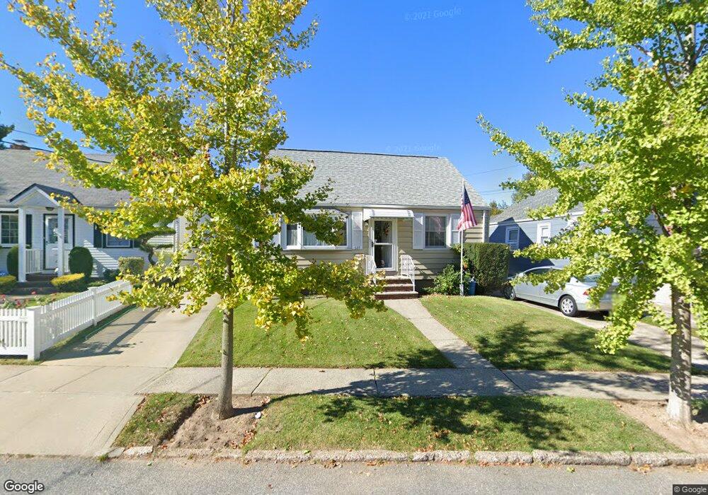
689 N Railroad Ave Unit 1 Staten Island, NY 10304
Dongan Hills NeighborhoodEstimated Value: $633,000 - $807,000
4
Beds
2
Baths
1,008
Sq Ft
$680/Sq Ft
Est. Value
About This Home
This home is located at 689 N Railroad Ave Unit 1, Staten Island, NY 10304 and is currently estimated at $685,377, approximately $679 per square foot. 689 N Railroad Ave Unit 1 is a home located in Richmond County with nearby schools including P.S. 11 Thomas Dongan School, Is 2 George L Egbert, and New Dorp High School.
Ownership History
Date
Name
Owned For
Owner Type
Purchase Details
Closed on
Jun 26, 2025
Sold by
Qosja Kostandin
Bought by
Kostandin Qosja And Etleva Qosja Irrevocable and Qosja
Current Estimated Value
Purchase Details
Closed on
Dec 16, 2023
Sold by
Coscia Geri
Bought by
Qosja Kostandin
Purchase Details
Closed on
Oct 7, 2008
Sold by
Dianora Mario J and Dianora Lillian E
Bought by
Coscia Geri and Mcguire Cathy
Create a Home Valuation Report for This Property
The Home Valuation Report is an in-depth analysis detailing your home's value as well as a comparison with similar homes in the area
Home Values in the Area
Average Home Value in this Area
Purchase History
| Date | Buyer | Sale Price | Title Company |
|---|---|---|---|
| Kostandin Qosja And Etleva Qosja Irrevocable | -- | None Listed On Document | |
| Qosja Kostandin | $605,000 | Old Republic National Title | |
| Coscia Geri | -- | None Available |
Source: Public Records
Tax History Compared to Growth
Tax History
| Year | Tax Paid | Tax Assessment Tax Assessment Total Assessment is a certain percentage of the fair market value that is determined by local assessors to be the total taxable value of land and additions on the property. | Land | Improvement |
|---|---|---|---|---|
| 2025 | $5,856 | $34,380 | $10,409 | $23,971 |
| 2024 | $5,856 | $35,280 | $9,569 | $25,711 |
| 2023 | $1,877 | $27,504 | $8,548 | $18,956 |
| 2022 | $1,786 | $33,120 | $11,580 | $21,540 |
| 2021 | $2,028 | $31,200 | $11,580 | $19,620 |
| 2020 | $2,002 | $32,220 | $11,580 | $20,640 |
| 2019 | $2,799 | $29,280 | $11,580 | $17,700 |
| 2018 | $3,396 | $22,920 | $11,580 | $11,340 |
| 2017 | $3,473 | $22,560 | $11,580 | $10,980 |
| 2016 | $1,352 | $22,080 | $11,580 | $10,500 |
| 2015 | $1,272 | $23,177 | $9,259 | $13,918 |
| 2014 | $1,272 | $21,866 | $8,735 | $13,131 |
Source: Public Records
Map
Nearby Homes
- 130 Jefferson St
- 107 Jefferson St
- 138 Buel Ave
- 76 Jefferson St
- 72 Zoe St
- 20 Buel Ave Unit A
- 20A Buel Ave
- 154 Dongan Hills Ave
- 163 Cromwell Ave Unit 3B
- 165 Cromwell Ave Unit 3C
- 218 Naughton Ave Unit C
- 39 Vera St Unit A
- 90 Flagg Place
- 55 Vera St Unit A
- 65 Vera St
- 90 Alter Ave
- 45 E Loop Rd
- 175 Zoe St Unit 2R
- 175 Zoe St Unit 1P
- 175 Zoe St Unit 5B
- 689 N Railroad Ave
- 96 Liberty Ave
- 693 N Railroad Ave
- 88 Liberty Ave
- 697 N Railroad Ave
- 84 Liberty Ave
- 0 N Railroad Ave
- 701 N Railroad Ave
- 80 Liberty Ave
- 105 Liberty Ave
- 101 Liberty Ave
- 107 Liberty Ave
- 705 N Railroad Ave
- 692 N Railroad Ave
- 694 N Railroad Ave
- 690 N Railroad Ave
- 696 N Railroad Ave
- 111 Liberty Ave
- 690 N Rail Roa Ave
- 95 Liberty Ave