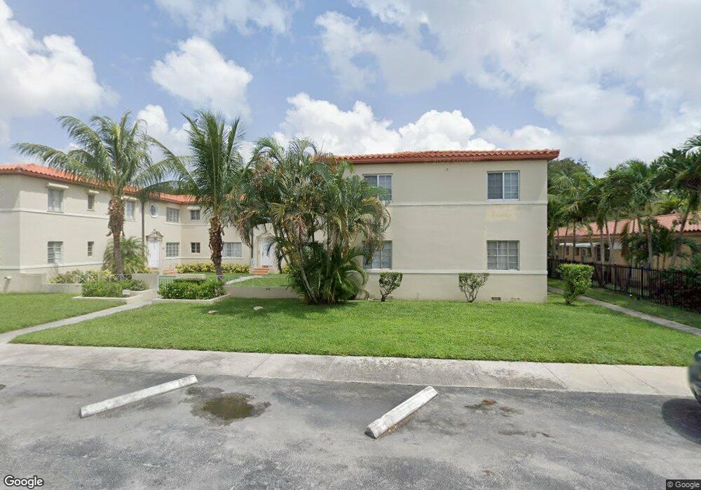
689 NE 92nd St Unit 10G Miami Shores, FL 33138
Estimated Value: $196,000 - $254,130
2
Beds
1
Bath
840
Sq Ft
$276/Sq Ft
Est. Value
About This Home
This home is located at 689 NE 92nd St Unit 10G, Miami Shores, FL 33138 and is currently estimated at $232,033, approximately $276 per square foot. 689 NE 92nd St Unit 10G is a home located in Miami-Dade County with nearby schools including Miami Shores Elementary School, Horace Mann Middle School, and Miami Edison Senior High School.
Ownership History
Date
Name
Owned For
Owner Type
Purchase Details
Closed on
Jan 30, 2023
Sold by
Charles Albert Crespo Trust
Bought by
Lange Anne
Current Estimated Value
Home Financials for this Owner
Home Financials are based on the most recent Mortgage that was taken out on this home.
Original Mortgage
$50,000
Outstanding Balance
$48,473
Interest Rate
6.48%
Mortgage Type
Credit Line Revolving
Estimated Equity
$183,560
Purchase Details
Closed on
Jul 12, 2021
Sold by
Crespo Charles Albert
Bought by
Crespo Charles Albert and Charles Albert Crespo Trust
Create a Home Valuation Report for This Property
The Home Valuation Report is an in-depth analysis detailing your home's value as well as a comparison with similar homes in the area
Home Values in the Area
Average Home Value in this Area
Purchase History
| Date | Buyer | Sale Price | Title Company |
|---|---|---|---|
| Lange Anne | $160,000 | -- | |
| Crespo Charles Albert | -- | Attorney |
Source: Public Records
Mortgage History
| Date | Status | Borrower | Loan Amount |
|---|---|---|---|
| Open | Lange Anne | $50,000 | |
| Open | Lange Anne | $93,984 |
Source: Public Records
Tax History Compared to Growth
Tax History
| Year | Tax Paid | Tax Assessment Tax Assessment Total Assessment is a certain percentage of the fair market value that is determined by local assessors to be the total taxable value of land and additions on the property. | Land | Improvement |
|---|---|---|---|---|
| 2025 | $5,875 | $199,036 | -- | -- |
| 2024 | $4,765 | $234,160 | -- | -- |
| 2023 | $4,765 | $173,452 | $0 | $0 |
| 2022 | $4,128 | $157,684 | $0 | $0 |
| 2021 | $999 | $45,607 | $0 | $0 |
| 2020 | $970 | $44,978 | $0 | $0 |
| 2019 | $904 | $43,967 | $0 | $0 |
| 2018 | $823 | $43,148 | $0 | $0 |
| 2017 | $807 | $42,261 | $0 | $0 |
| 2016 | $794 | $41,392 | $0 | $0 |
| 2015 | $793 | $41,105 | $0 | $0 |
| 2014 | $795 | $40,779 | $0 | $0 |
Source: Public Records
Map
Nearby Homes
- 715 NE 92nd St
- 726 NE 92nd St Unit 12L
- 723 NE 91st St Unit 4C
- 758 NE 95th St
- 9410 NE 6th Ave
- 550 NE 94th St
- 8950 NE 8th Ave Unit 314
- 863 NE 90th St
- 766 NE 96th St
- 9341 NE 9th Ave
- 755 NE 88th St
- 941 NE 92nd St
- 744 NE 88th St
- 440 NE 94th St
- 741 NE 87th St
- 433 NE 91st St
- 9357 NE 9th Place
- 575 NE 97th St
- 990 NE 94th St
- 485 NE 96th St
- 689 NE 92nd St Unit 12G
- 689 NE 92nd St Unit 9G
- 689 NE 92nd St Unit 11G
- 705 NE 92nd St
- 705 NE 92nd St Unit 2
- 705 NE 92nd St Unit 4
- 705 NE 92nd St Unit 1
- 705 NE 92nd St Unit 3
- 715 NE 92nd St Unit 4
- 715 NE 92nd St Unit 2
- 715 NE 92nd St Unit 1
- 715 NE 92nd St Unit 3
- 699 NE 92nd St Unit 1
- 699 NE 92nd St Unit 3
- 699 NE 92nd St Unit 4
- 673 NE 92nd St Unit 6F
- 673 NE 92nd St Unit 7F
- 673 NE 92nd St Unit 5F
- 673 NE 92nd St Unit 8F