689 New England Rd Cape May, NJ 08204
Estimated Value: $1,114,000 - $2,063,000
--
Bed
--
Bath
3,056
Sq Ft
$485/Sq Ft
Est. Value
About This Home
This home is located at 689 New England Rd, Cape May, NJ 08204 and is currently estimated at $1,481,612, approximately $484 per square foot. 689 New England Rd is a home located in Cape May County with nearby schools including Carl T. Mitnick School, David C. Douglass Veterans Memorial School, and Maud Abrams School.
Ownership History
Date
Name
Owned For
Owner Type
Purchase Details
Closed on
May 28, 2014
Sold by
Letts Anna May and Utsch Janice
Bought by
Utsch Janice
Current Estimated Value
Purchase Details
Closed on
Dec 21, 2004
Sold by
Utsch Janice and Letts Anna May
Bought by
Utsch Janice and Letts Anna May
Create a Home Valuation Report for This Property
The Home Valuation Report is an in-depth analysis detailing your home's value as well as a comparison with similar homes in the area
Home Values in the Area
Average Home Value in this Area
Purchase History
| Date | Buyer | Sale Price | Title Company |
|---|---|---|---|
| Utsch Janice | -- | None Available | |
| Utsch Janice | -- | -- | |
| Gordon Development I Lp | -- | -- |
Source: Public Records
Tax History Compared to Growth
Tax History
| Year | Tax Paid | Tax Assessment Tax Assessment Total Assessment is a certain percentage of the fair market value that is determined by local assessors to be the total taxable value of land and additions on the property. | Land | Improvement |
|---|---|---|---|---|
| 2025 | $16,429 | $810,100 | $422,200 | $387,900 |
| 2024 | $16,429 | $810,100 | $422,200 | $387,900 |
| 2023 | $16,194 | $810,100 | $422,200 | $387,900 |
| 2022 | $15,700 | $810,100 | $422,200 | $387,900 |
| 2021 | $15,230 | $810,100 | $422,200 | $387,900 |
| 2020 | $14,987 | $810,100 | $422,200 | $387,900 |
| 2019 | $14,614 | $810,100 | $422,200 | $387,900 |
| 2018 | $14,266 | $810,100 | $422,200 | $387,900 |
| 2017 | $14,282 | $810,100 | $422,200 | $387,900 |
| 2016 | $14,063 | $810,100 | $422,200 | $387,900 |
| 2015 | $13,610 | $810,100 | $422,200 | $387,900 |
| 2014 | $13,164 | $810,100 | $422,200 | $387,900 |
Source: Public Records
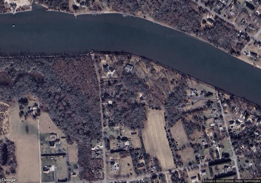
Map
Nearby Homes
- 3941 Bayshore Rd
- 1024 Shunpike Rd
- 3911 Bayshore Rd
- 712 Gorham Ave
- 602 Gorham Ave
- 1031 Seashore Rd
- 1036 Seashore Rd
- 818 Shunpike Rd
- 1062 Seashore Rd
- 402 Whildam Ave
- 305 Whildam Ave
- 59 Westwood Dr
- 808 Westfield Ave
- 668 Crawford Rd
- 313 Nantucket Dr
- 54 Heron Way
- 712 Indian Ave
- 1083 Seashore Rd
- 118 Old Mill Dr
- 605 Bayshore Rd
- 3941 Bayshore Rd
- 3951 Bayshore Rd
- 3947 Bayshore Rd
- 3955 Bayshore Rd
- 3953 Bayshore Rd
- 3939 Bayshore Rd
- 3957 Bayshore Rd
- 956 Shunpike Rd
- 958 Shunpike Rd
- 3937 Bayshore Rd
- 3956 Bayshore Rd
- 681 New England Rd
- 685 New England Rd
- 677 New England Rd
- 960 Shunpike Rd
- 962 Shunpike Rd
- 3958 Bayshore Rd
- 673 New England Rd
- 966 Shunpike Rd
- 970 Shunpike Rd