689 Plat M Rd Sutherlin, OR 97479
Estimated Value: $375,000 - $528,000
4
Beds
2
Baths
2,508
Sq Ft
$182/Sq Ft
Est. Value
About This Home
This home is located at 689 Plat M Rd, Sutherlin, OR 97479 and is currently estimated at $455,770, approximately $181 per square foot. 689 Plat M Rd is a home located in Douglas County with nearby schools including East Sutherlin Primary School, West Sutherlin Intermediate School, and Sutherlin Middle School.
Ownership History
Date
Name
Owned For
Owner Type
Purchase Details
Closed on
Apr 1, 2016
Sold by
Kellum Douglas M
Bought by
Italiano Holgate Shawn and Italiano Holgate Gina
Current Estimated Value
Home Financials for this Owner
Home Financials are based on the most recent Mortgage that was taken out on this home.
Original Mortgage
$249,000
Outstanding Balance
$197,620
Interest Rate
3.65%
Mortgage Type
VA
Estimated Equity
$258,150
Create a Home Valuation Report for This Property
The Home Valuation Report is an in-depth analysis detailing your home's value as well as a comparison with similar homes in the area
Home Values in the Area
Average Home Value in this Area
Purchase History
| Date | Buyer | Sale Price | Title Company |
|---|---|---|---|
| Italiano Holgate Shawn | $249,000 | Western Title & Escrow Co |
Source: Public Records
Mortgage History
| Date | Status | Borrower | Loan Amount |
|---|---|---|---|
| Open | Italiano Holgate Shawn | $249,000 |
Source: Public Records
Tax History Compared to Growth
Tax History
| Year | Tax Paid | Tax Assessment Tax Assessment Total Assessment is a certain percentage of the fair market value that is determined by local assessors to be the total taxable value of land and additions on the property. | Land | Improvement |
|---|---|---|---|---|
| 2024 | $1,643 | $210,010 | -- | -- |
| 2023 | $1,597 | $203,894 | $0 | $0 |
| 2022 | $1,553 | $197,952 | $0 | $0 |
| 2021 | $1,509 | $192,185 | $0 | $0 |
| 2020 | $1,672 | $213,821 | $0 | $0 |
| 2019 | $1,625 | $207,594 | $0 | $0 |
| 2018 | $1,580 | $0 | $0 | $0 |
| 2017 | $1,719 | $195,678 | $0 | $0 |
| 2016 | $1,672 | $189,979 | $0 | $0 |
| 2015 | $1,504 | $170,083 | $0 | $0 |
Source: Public Records
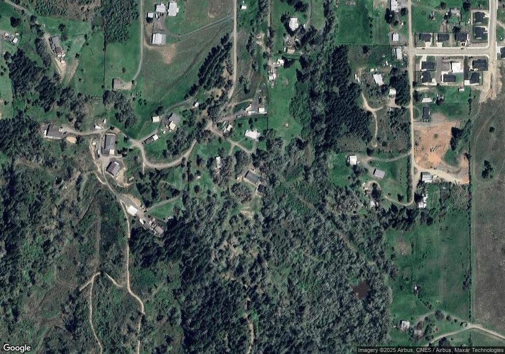
Map
Nearby Homes
- 908 Fir Grove Ln
- 892 Fir Grove Ln
- 1878 Trails End Ln
- 336 Schudeiske Rd
- 154 Coles Valley St
- 149 Coles Valley St
- 135 Elkton St
- 126 Coles Valley St
- 1688 W Central Ave
- 181 SW Hutchins St
- 819 S Comstock Ave Unit 13
- 851 S Comstock Rd
- 1386 Airway Ave
- 0 Dakota St Unit B 500248401
- 420 Backwater Loop
- 1223 Duke Ave
- 2730 Golfview Ave
- 307 Cambridge Dr
- 910 Swallow Ave
- 165 Robinson St
- 637 Plat M Rd
- 640 Plat M Rd
- 513 Plat M Rd
- 951 Fir Grove Ln
- 591 Plat M Rd
- 2034 W Duke Rd
- 407 Plat M Rd
- 940 Fir Grove Ln
- 1978 Duke Ave
- 958 Fir Grove Ln
- 874 Fir Grove Ln
- 461 Plat M Rd
- 880 Fir Grove Ln
- 424 Plat M Rd
- 0 Fir Grove Ln Unit 22237073
- 0 Fir Grove Ln
- 190 Jaswant Ave
- 862 Fir Grove Ln
- 599 Plat M Rd
- 842 Fir Grove Ln