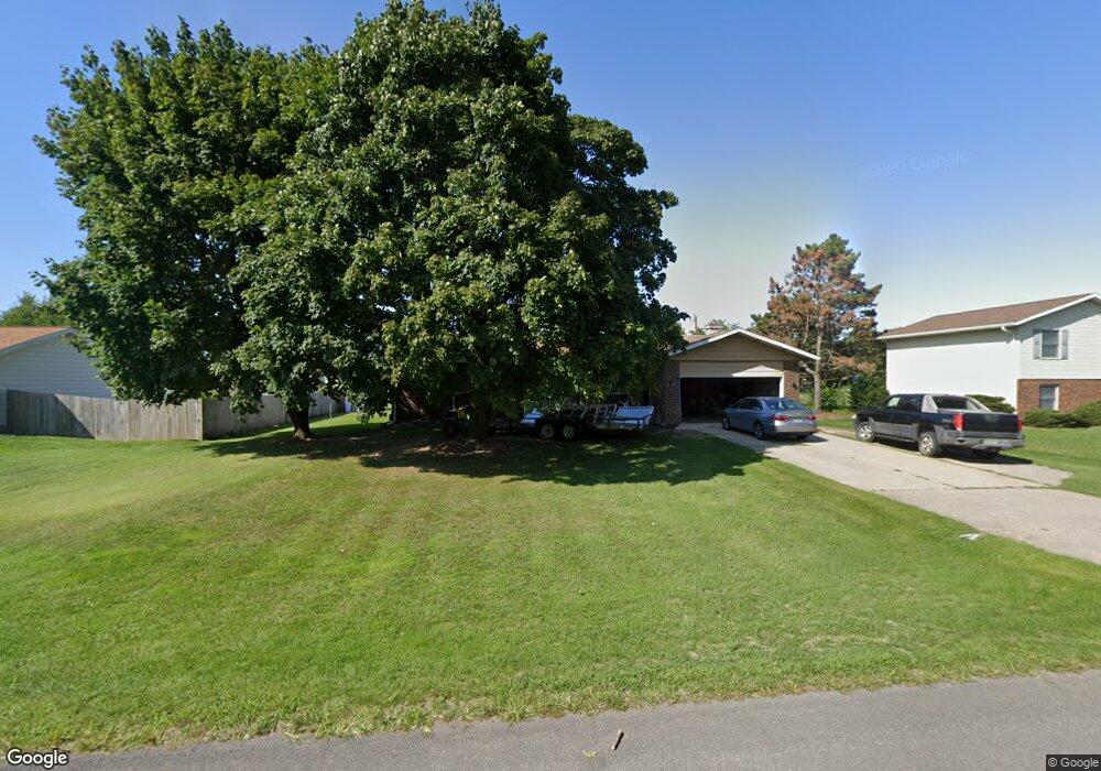
689 Royal Crest Dr Saint Joseph, MI 49085
Vineland NeighborhoodEstimated Value: $303,000 - $325,361
3
Beds
3
Baths
1,980
Sq Ft
$158/Sq Ft
Est. Value
About This Home
This home is located at 689 Royal Crest Dr, Saint Joseph, MI 49085 and is currently estimated at $313,090, approximately $158 per square foot. 689 Royal Crest Dr is a home located in Berrien County with nearby schools including Upton Middle School, St. Joseph High School, and Trinity Lutheran School.
Ownership History
Date
Name
Owned For
Owner Type
Purchase Details
Closed on
Jun 17, 2003
Sold by
Broadwater Robert J and Broadwater Joan M
Bought by
Grannell Robert Q
Current Estimated Value
Home Financials for this Owner
Home Financials are based on the most recent Mortgage that was taken out on this home.
Original Mortgage
$71,000
Outstanding Balance
$30,491
Interest Rate
5.51%
Mortgage Type
Purchase Money Mortgage
Estimated Equity
$282,599
Purchase Details
Closed on
May 27, 1986
Purchase Details
Closed on
Apr 20, 1979
Purchase Details
Closed on
Sep 30, 1978
Create a Home Valuation Report for This Property
The Home Valuation Report is an in-depth analysis detailing your home's value as well as a comparison with similar homes in the area
Home Values in the Area
Average Home Value in this Area
Purchase History
| Date | Buyer | Sale Price | Title Company |
|---|---|---|---|
| Grannell Robert Q | $135,000 | -- | |
| -- | -- | -- | |
| -- | $48,900 | -- | |
| -- | $5,000 | -- |
Source: Public Records
Mortgage History
| Date | Status | Borrower | Loan Amount |
|---|---|---|---|
| Open | Grannell Robert Q | $71,000 |
Source: Public Records
Tax History Compared to Growth
Tax History
| Year | Tax Paid | Tax Assessment Tax Assessment Total Assessment is a certain percentage of the fair market value that is determined by local assessors to be the total taxable value of land and additions on the property. | Land | Improvement |
|---|---|---|---|---|
| 2025 | $3,202 | $136,500 | $0 | $0 |
| 2024 | $1,941 | $133,900 | $0 | $0 |
| 2023 | $1,849 | $102,400 | $0 | $0 |
| 2022 | $1,761 | $97,000 | $0 | $0 |
| 2021 | $2,861 | $98,800 | $22,900 | $75,900 |
| 2020 | $2,520 | $93,600 | $0 | $0 |
| 2019 | $2,410 | $87,000 | $18,400 | $68,600 |
| 2018 | $2,306 | $87,000 | $0 | $0 |
| 2017 | $2,272 | $85,200 | $0 | $0 |
| 2016 | $2,219 | $82,900 | $0 | $0 |
| 2015 | $2,182 | $78,500 | $0 | $0 |
| 2014 | $1,487 | $75,600 | $0 | $0 |
Source: Public Records
Map
Nearby Homes
- 792 Lonesome Pine Trail
- 670 Marvin Ave
- 530 Manitou Rd
- 631 Marvin Ave
- 3215 Meade Ct
- 940 Vineland Rd
- 753 Lattimer Dr
- 317 Maiden Ln
- 2960 Niles Rd
- 649 Grant Ave
- 398121 Anchors Way
- 1153 W Glenlord Rd Unit 22
- 484 W Glenlord Rd
- 3423 Niles Rd
- 2841 Niles Rd
- 3553 Martin Path
- 4010 Deja Dr
- 985 Jean Ann Dr
- 1050 Jean Ann Dr
- 1481 Kristen Path
- 705 Royal Crest Dr
- 690 Royal Crest Dr
- 657 Royal Crest Dr
- 702 Royal Crest Dr
- 672 Royal Crest Dr
- 707 Royal Crest Dr
- 658 Royal Crest Dr
- 720 Royal Crest Dr
- 643 Royal Crest Dr
- 713 Royal Crest Dr
- 655 Lonesome Pine Trail
- 687 Lonesome Pine Trail
- 703 Lonesome Pine Trail
- 641 Lonesome Pine Trail
- 3532 Royal Crest Dr
- 627 Royal Crest Dr
- 625 Lonesome Pine Trail
- 628 Royal Crest Dr
- 715 Lonesome Pine Trail
- 3519 Brook Ct